| Blackamoor | |
|---|---|
 Corner Shop, Blackamoor (August 2009) | |
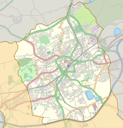 Blackamoor Shown within Blackburn 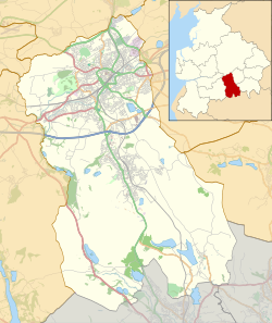 Blackamoor Shown within Blackburn with Darwen  Blackamoor Location within Lancashire | |
| OS grid reference | SD696254 |
| Unitary authority | |
| Ceremonial county | |
| Region | |
| Country | England |
| Sovereign state | United Kingdom |
| Post town | BLACKBURN |
| Postcode district | BB1 |
| Dialling code | 01254 |
| Police | Lancashire |
| Fire | Lancashire |
| Ambulance | North West |
| UK Parliament | |
Blackamoor is a village in Lancashire, England which is to the south of Blackburn. [1]
It is located on the cross roads between Lower Darwen and Guide where the B6231 crosses the old “Roman Road” from Manchester to Ribchester.