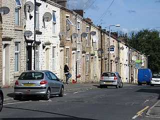
Accrington is a town in the Hyndburn borough of Lancashire, England. It lies about 4 miles (6 km) east of Blackburn, 6 miles (10 km) west of Burnley, 13 miles (21 km) east of Preston, 20 miles (32 km) north of Manchester and is situated on the culverted River Hyndburn. Commonly abbreviated by locals to "Accy", the town has a population of 35,456 according to the 2011 census.

Lancashire is the name of a historic county, ceremonial county, and non-metropolitan county in North West England. The boundaries of these three areas differ significantly.

Blackburn Rovers Football Club is a professional football club, based in Blackburn, Lancashire, England, which competes in the EFL Championship, the second tier of the English football league system. They have played home matches at Ewood Park since 1890. The club's motto is "Arte et Labore", meaning "By Skill and Hard Work" in Latin. They have a long-standing rivalry with nearby club Burnley, with whom they contest the East Lancashire derby.

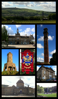
Blackburn is an industrial town and the administrative centre of the Blackburn with Darwen borough in Lancashire, England. The town is north of the West Pennine Moors on the southern edge of the Ribble Valley, 8 mi (13 km) east of Preston and 21 mi (34 km) north-northwest of Manchester. Blackburn is the core centre of the wider unitary authority area along with the town of Darwen. It is one of the largest districts in Lancashire, with commuter links to neighbouring cities of Manchester, Salford, Preston, Lancaster, Liverpool, Bradford and Leeds.
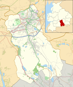
Blackburn with Darwen is a borough and unitary authority area in Lancashire, North West England. It consists of the industrial town of Blackburn and the market town of Darwen including other villages around the two towns.
Darwen is a market town and civil parish in the Blackburn with Darwen borough in Lancashire, England. The residents of the town are known as "Darreners". The A666 road passes through Darwen towards Blackburn to the north, Bolton to the south and Pendlebury where it joins the A6, about 18 miles (29 km) north-west of Manchester. The population of Darwen decreased to 28,046 in the 2011 census. The town comprises five wards and has its own town council.

Westholme School is a coeducational independent school in Blackburn, Lancashire, England.

Blackburn is a constituency in Lancashire, England, which has been represented in the House of Commons of the UK Parliament since 2015 by Kate Hollern of the Labour Party. From 1979 to 2015, it was represented by Jack Straw who served under the Labour leaders of Neil Kinnock and John Smith and the Labour governments of Tony Blair and Gordon Brown.
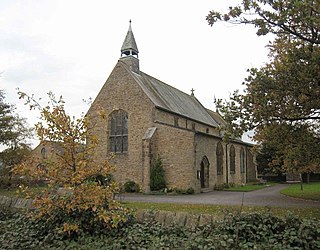
Langho is a small rural village 5 miles (8 km) north of Blackburn in the Ribble Valley, Lancashire, England. It is part of the parish of Billington and Langho. The village is linked with Blackburn and Clitheroe by the A666 road and is served by Langho railway station on the Ribble Valley Line. The population at the 2011 census was 2,015.

Abbey Village is a village in the English county of Lancashire and the constituency of Chorley. It is located on the A675 road, six miles (10 km) from Blackburn, eight miles from Chorley, nine miles (14 km) from Preston and ten miles from Bolton.
Blackburn with Darwen Borough Council elections are held three years out of every four, with a third of the council being elected each time. Blackburn with Darwen Borough Council is the local authority for the unitary authority of Blackburn with Darwen in Lancashire, England. Since the last boundary changes in 2017, 51 councillors have been elected from 17 wards.
Archbishop Temple Church of England High School is a voluntary aided Church of England secondary school, situated in the city of Preston in Lancashire, England. The Headteacher is Ivan Catlow. It has 782 pupils and 48 teachers.

Chipping is a village and civil parish of the borough of Ribble Valley, Lancashire, England, within the Forest of Bowland Area of Outstanding Natural Beauty. In the 2001 census, the parish had a population of 1,046, falling slightly to 1,043 at the 2011 Census. This Lancashire village has won several best-kept village competitions over the years. The village also won the village section of the Royal Horticultural Society Britain in Bloom competition in 2009 picking up RHS Tourism and Gold achievement awards in the process.

Salesbury is a village and civil parish in Ribble Valley, located centrally in the county of Lancashire, England. The B6245 road runs straight through the village providing transport links to towns such as Blackburn, Preston and Burnley. Salesbury lies less than 5 miles north of Blackburn and approximately 2 miles south of the River Ribble.
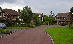
Little Harwood is a suburb of Blackburn in Lancashire, England, situated at the northern edge of the town.
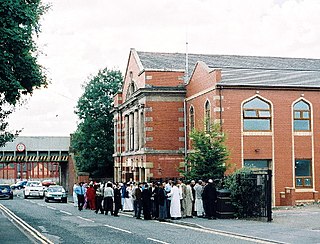
Tauheedul Islam Girls' High School and Sixth Form College (TIGHS) is a secondary school for girls in Beardwood, Blackburn. It was founded by the charitable trust Tauheedul Islam Faith, Education and Community Trust. It serves as the flagship school of the trust.
Tauheedul Islam Boys' High School (TIBHS) is a secondary free school for boys in Blackburn, Lancashire.
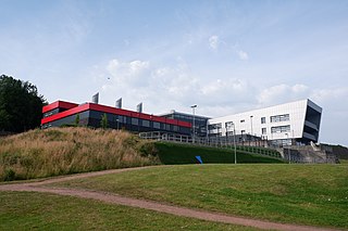
Blackburn Central High School is a co-educational secondary school located in Blackburn, Lancashire.