| Whalley Range | |
|---|---|
 Whalley Range Shown within Blackburn 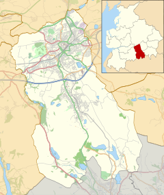 Whalley Range Shown within Blackburn with Darwen  Whalley Range Location within Lancashire | |
| OS grid reference | SD684286 |
| Unitary authority | |
| Ceremonial county | |
| Region | |
| Country | England |
| Sovereign state | United Kingdom |
| Post town | Blackburn |
| Postcode district | BB1 |
| Dialling code | 01254 |
| Police | Lancashire |
| Fire | Lancashire |
| Ambulance | North West |
| UK Parliament | |
Whalley Range is an urban area in Blackburn, Lancashire. The area is a community with almost all residents being of Indian or Pakistani heritage. Houses in the area are predominantly terraced and go up on a hill in a typical Pennine mill town style.