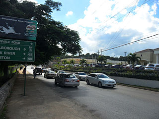
Mandeville is the capital and largest town in the parish of Manchester in the county of Middlesex, Jamaica. In 2005, the town had an estimated population of 50,000, and including the immediate suburbs within a radius of 16 km (9.9 mi) the total population is about 72,000. It is located on an inland plateau at an altitude of 628 m (2061 feet), and is 103 km (64 mi) west of Kingston. It is the only parish capital of Jamaica not located on the coast or on a major river.
The Alligator Hole River is a river of Jamaica.
The Annotto River is a river of Jamaica.
The Cabarita River, originally the Cabaritta, is a river in Jamaica. The Mayfield River is a tributary.
Coleburns Gully is a river of Jamaica.
The Hectors River is a river of Jamaica.
The Martha Brae River is a river of Jamaica. It is located (primarily?) in Trelawny Parish on the north coast of Jamaica, towards the western edge, about 6 miles south of Falmouth, Trelawny, Jamaica. The river features rafting.
The Milk River is a river of Jamaica.
The Montego River is a river of Jamaica.
The Rio Bueno is a river of Jamaica.
The Rio Doro is a river of Jamaica.
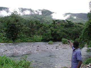
The Rio Grande is a river of Jamaica, found in the parish of Portland. It was named when the Spanish occupied Jamaica in the 15th and 16th centuries. One of the largest rivers in Jamaica, it was named "Big River" by the Spanish, and today is one of the many tourist attractions in Portland, mainly for rafting.
The Rio Magno is a river of Jamaica.
The Rio Pedro is a river of Jamaica.
The Salt River (Jamaica) is a river of Jamaica.
The Smith River (Jamaica) is a river of Jamaica.
The Swift River (Jamaica) is a river of Jamaica.The river had massive floods during the 1930s {1932-1940},which nearly brought the only major settlement,which shares the same name, to extinction.
The Wag Water River is one of Jamaica's rivers. It is dammed by the Hermitage Dam.
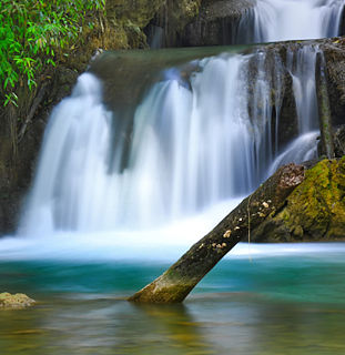
The Y.S. River is a river found in the southern parish of St Elizabeth on the island of Jamaica. It has the famous Y.S. Falls of Jamaica.
