Related Research Articles

The Arctic Archipelago, also known as the Canadian Arctic Archipelago, is a group of islands north of the Canadian mainland.

Observatory Circle is a street in Washington, D.C. It runs from Calvert Street to Massachusetts Avenue near 34th Street. Established in 1894, the street follows an incomplete loop, forming an arc rather than a circle. Number One Observatory Circle is the official residence of the Vice President of the United States.
The Alligator Hole River is a river of Jamaica.
The Broad River is a river in Jamaica. It flows into the Black River at the Great Morass in St. Elizabeth.
18°12′0″N77°21′0″W
The Hectors River is a river of Jamaica.
The Hope River (Jamaica) is a river of Jamaica. It flows from 15 miles north of Kingston and then forms a delta at Kingston.
The Martha Brae River is a river of Jamaica. It is located (primarily?) in Trelawny Parish on the north coast of Jamaica, towards the western edge, about 6 miles south of Falmouth, Trelawny, Jamaica. The river features rafting.
The Milk River is a river of Jamaica.
The Montego River is a river of Jamaica.
The Morant River is a river of Jamaica.
The Plantain Garden River is a river in the parish of St Thomas on the island of Jamaica. It is the only major river in Jamaica that does not flow in a northerly or southerly direction.
The Otram River is a river in St Mary, Jamaica. It reaches the sea in the parish capital of Port Maria.
The Rio Bueno is a river of Jamaica.
The Rio Doro is a river of Jamaica.
The Rio Magno is a river of Jamaica.
The Rio Pedro is a river of Jamaica.
The Salt River (Jamaica) is a river of Jamaica.
The Smith River (Jamaica) is a river of Jamaica.

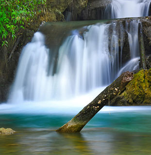
The Y.S. River is a river found in the southern parish of St Elizabeth on the island of Jamaica. It has the famous Y.S. Falls of Jamaica.
References
- GEOnet Names Server
- OMC Map
- CIA Map
- Ford, Jos C. and Finlay, A.A.C. (1908).The Handbook of Jamaica. Jamaica Government Printing Office
Coordinates: 17°54′N77°04′W / 17.900°N 77.067°W

A geographic coordinate system is a coordinate system that enables every location on Earth to be specified by a set of numbers, letters or symbols. The coordinates are often chosen such that one of the numbers represents a vertical position and two or three of the numbers represent a horizontal position; alternatively, a geographic position may be expressed in a combined three-dimensional Cartesian vector. A common choice of coordinates is latitude, longitude and elevation. To specify a location on a plane requires a map projection.
| This article related to a river in Jamaica is a stub. You can help Wikipedia by expanding it. |