Related Research Articles
Mandeville is the capital and largest town in the parish of Manchester in the county of Middlesex, Jamaica. In 2005, the town had an estimated population of 50,000, and including the immediate suburbs within a radius of 16 km (9.9 mi) the total population is about 72,000. It is located on an inland plateau at an altitude of 628 m (2061 feet), and is 103 km (64 mi) west of Kingston. It is the only parish capital of Jamaica not located on the coast or on a major river.

Pedro Bank is a large bank of sand and coral, partially covered with seagrass, about 80 km south and southwest of Jamaica, rising steeply from a seabed of 800 metres depth. It slopes gently from Pedro Cays to the west and north with depths from 13 to 30 metres. The total area of the bank within the 100-metre (328-foot) isobath measures 8,040 square kilometres. The area of a depth to 40 metres is triangular, 70 kilometres long east-west, and 43 kilometres wide. 2,400 square kilometres are less than 20 metres deep. With its islets, cays and rocks, a total land area of 270,000 m2 (2,906,256 sq ft), it is the location of one of the two offshore island groups of Jamaica, the other one being the Morant Cays. The bank is centered at 17°06′N78°20′W.
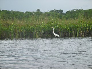
The Black River is one of the longest rivers in Jamaica. At a length of 53.4 km (33.2 mi), it was believed to be the longest until it was discovered that the Rio Minho was 92.8 km long. Its name refers to the darkness of the river bed caused by thick layers of decomposing vegetation. Over 100 species of birds have been recorded in the Black River morass.
The Alligator Hole River is a river of Jamaica.
The Broad River is a river in Jamaica. It flows into the Black River at the Great Morass in St. Elizabeth.
18°12′0″N77°21′0″W
Coleburns Gully is a river of Jamaica.
The Hectors River is a river of Jamaica.
The Martha Brae River is a river of Jamaica. It is located (primarily?) in Trelawny Parish on the north coast of Jamaica, towards the western edge, about 6 miles south of Falmouth, Trelawny, Jamaica. The river features rafting.
The Milk River is a river of Jamaica.
The Montego River is a river of Jamaica.
The Rio Bueno is a river of Jamaica.
The Rio Doro is a river of Jamaica.
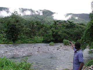
The Rio Grande is a river of Jamaica, found in the parish of Portland. It was named when the Spanish occupied Jamaica in the 15th and 16th centuries. One of the largest rivers in Jamaica, it was named "Big River" by the Spanish, and today is one of the many tourist attractions in Portland, mainly for rafting.
The Rio Pedro is a river of Jamaica.
The Salt River (Jamaica) is a river of Jamaica.
The Smith River (Jamaica) is a river of Jamaica.
The Sweet River is a river of Jamaica.
The Swift River (Jamaica) is a river of Jamaica.The river had massive floods during the 1930s {1932-1940},which nearly brought the only major settlement,which shares the same name, to extinction.
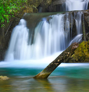
The Y.S. River is a river found in the southern parish of St Elizabeth on the island of Jamaica. It has the famous Y.S. Falls of Jamaica.
References
- GEOnet Names Server
- OMC Map
- CIA Map
- Ford, Jos C. and Finlay, A.A.C. (1908).The Handbook of Jamaica. Jamaica Government Printing Office
Coordinates: 18°08′N77°02′W / 18.133°N 77.033°W

A geographic coordinate system is a coordinate system that enables every location on Earth to be specified by a set of numbers, letters or symbols. The coordinates are often chosen such that one of the numbers represents a vertical position and two or three of the numbers represent a horizontal position; alternatively, a geographic position may be expressed in a combined three-dimensional Cartesian vector. A common choice of coordinates is latitude, longitude and elevation. To specify a location on a plane requires a map projection.
| This article related to a river in Jamaica is a stub. You can help Wikipedia by expanding it. |