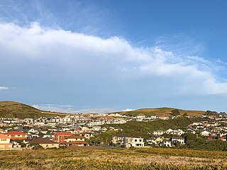
Berhampore is a suburb of Wellington, New Zealand. It lies towards the south of the city, four kilometres from the city centre, and two kilometres from the coast of Cook Strait. It is surrounded by the suburbs of Vogeltown, Newtown, Melrose, Island Bay, Kingston, and Mornington. The suburb was named after Berhampore in Bengal, one of the battlefields at the start of the Battle of Plassey of 1757. Also surrounding Berhampore is the Berhampore Golf Course as well as a very extensive green belt with many walkways and tracks connecting outlying areas. The suburb also boasts some of Wellington's best all weather sports fields, on Adelaide Road and the national hockey stadium. Alongside the golf course there is a skateboard/bmx park, right by a kids mountain bike track. Berhampore School opened in 1915.

Bulls is a small town north west of Palmerston North on the west coast of the North Island of New Zealand. It is in a fertile farming area in the Rangitikei District at the junction of State Highways 1 and 3 about 135 kilometres (84 mi) north of Wellington. According to a June 2022 Statistics New Zealand estimate, Bulls has a population of 2,190 inhabitants.

Tāmaki is a small suburb of East Auckland, 11 kilometres from the Auckland CBD, in the North Island of New Zealand. It is located by the banks of the estuarial Tāmaki River, which is a southern arm of the Hauraki Gulf. The suburb is between the suburbs of Point England to the north and Panmure to the south.

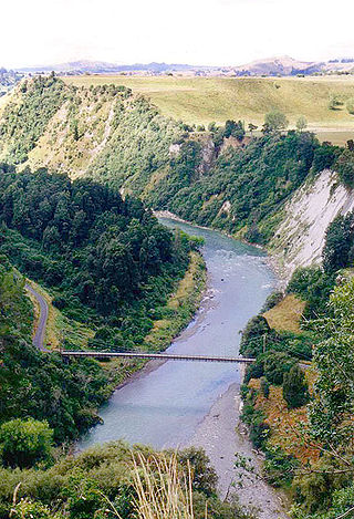
The Rangitikei District is a territorial authority district located primarily in the Manawatū-Whanganui region in the North Island of New Zealand, although a small part, the town of Ngamatea, lies in the Hawke's Bay Region. It is located in the southwest of the island, and follows the catchment area of the Rangitīkei River.

Johnsonville is a large suburb in northern Wellington, New Zealand. It is seven kilometres north of the city centre, at the top of the Ngauranga Gorge, on the main route to Porirua. It is commonly known by locals as "J'ville".

Khandallah is a suburb of Wellington, the capital city of New Zealand. It is located 4 kilometres (2.5 mi) northeast of the city centre, on hills overlooking Wellington Harbour.
Linton is a suburb of Palmerston North, situated 11km south-west of the city.

Newlands is one of the northern suburbs of Wellington, New Zealand. It lies approximately 8.1 km north of the city centre and to the east of its nearest neighbour Johnsonville. It has a long history of early settlement and originally was farmed including being the early source of Wellington's milk. Newlands is located in a valley and covers two ridgelines, the side of one of which overlooks Wellington Harbour and up to the Hutt Valley.

The Akatarawa Valley is a valley in the Tararua Range of New Zealand's North Island. It provides a link from the upper reaches of the Hutt Valley to Waikanae on the Kapiti Coast through rugged hill country. The valley is lowly populated and contains the localities of Reikorangi and Cloustonville. At the Hutt Valley end, the Akatarawa Valley is rugged and the Akatarawa River flows through it. The terrain is less difficult at the Kapiti end, where the Waikanae River flows through part of the valley on its route from its headwaters in the Tararuas to the Tasman Sea, and is met in the valley by tributaries such as the Ngatiawa River and the Reikorangi Stream.

Churton Park is an affluent suburb 1.5 km north of Johnsonville in Wellington, the capital city of New Zealand. It was established in the 1970s.

Tōtara Park is a suburb of Upper Hutt, New Zealand, located 2 km northeast of the city centre. It is accessed via the Tōtara Park Bridge which crosses the Hutt River, connecting it to State Highway 2 and the main Upper Hutt urban area. It was popular in the 1970s and 1980s for families moving into the Upper Hutt area.

Rongotai is a suburb of Wellington, New Zealand, located southeast of the city centre. It is on the Rongotai isthmus, between the Miramar Peninsula and the suburbs of Kilbirnie and Lyall Bay. It is known mostly for being the location of the Wellington International Airport. It is roughly in the centre of the Rongotai electorate, which is much bigger than the suburb.

Wilton is a small suburb in Wellington. It is best known for Otari-Wilton's Bush, a large reserve that is situated in the suburb. Otari-Wilton's bush is the only public botanic garden in New Zealand dedicated solely to native plants. It features 14 km of walking tracks and a 'canopy walkway'. The canopy walkway is a raised walkway that provides a unique chance to view life in, and from, the top level of trees such as mature tawa, rewarewa and hinau.

Crofton Downs is an inner suburb of Wellington, the capital city of New Zealand. It is situated between Ngaio to the northeast Wilton to the south-west and Wadestown to the south. Its border runs on the Korimako Stream that flows south into the Kaiwharawhara Stream and then flows down the Ngaio Gorge into Wellington Harbour.

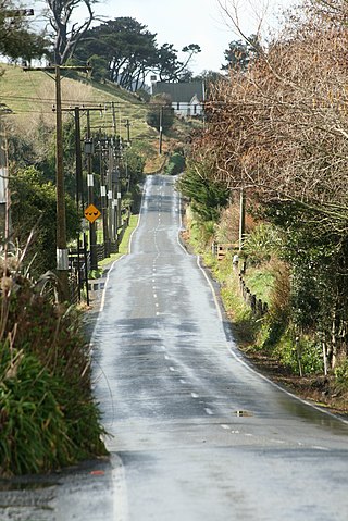
Ohariu is a suburb of Wellington, New Zealand. It is a rural area, located 5 kilometres (3.1 mi) from Khandallah.
Paparangi, one of the northern suburbs of Wellington in New Zealand, lies approximately 10 km north of the city centre, north-east of Johnsonville, north-west of Newlands and south of Grenada and Woodridge. The population was 2,841 at the time of the 2013 census, an increase of 96 from the 2006 census population.

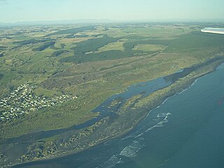
Koitiata is a settlement located in the southwestern part of Rangitikei District of the Manawatū-Whanganui region of New Zealand's North Island. At the time of the 2018 census, Koitiata had a population of 126. Marton is located 24 km to the east and Whanganui is located 29 km to the northwest. Nearby Koitiata is Lake Koitiata.

Porewa is a rural community, in the Rangitikei District of the Manawatū-Whanganui region of New Zealand's North Island.

Woodridge is one of the northern suburbs of Wellington, New Zealand, north of Newlands and Paparangi.

Takapu Valley, one of the northern suburbs of Wellington, New Zealand, is a rural area. The only road, Takapu Road, which runs by the Takapu Stream, goes down past Grenada North to the intersection with the Johnsonville-Porirua Motorway, and to Tawa where most facilities are. There is a supermarket and the Takapu Road Railway Station near the motorway intersection, but neither are in the valley itself.


