Cabanal Township | |
|---|---|
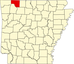
 Cabanal Township Location in Arkansas | |
| Coordinates: 36°17′55.84″N93°31′35.82″W / 36.2988444°N 93.5266167°W | |
| Country | |
| State | |
| County | Carroll |
| Area | |
• Total | 22.979 sq mi (59.52 km2) |
| • Land | 22.966 sq mi (59.48 km2) |
| • Water | 0.013 sq mi (0.03 km2) |
| Elevation | 1,286 ft (392 m) |
| Population (2010) | |
• Total | 381 |
| • Density | 16.59/sq mi (6.41/km2) |
| Time zone | UTC-6 (CST) |
| • Summer (DST) | UTC-5 (CDT) |
| Area code | 870 |
| GNIS feature ID | 66890 [1] |
Cabanal Township is one of twenty-one current townships in Carroll County, Arkansas, USA. [2] As of the 2010 census, its total population was 381.