
Waupaca County is a county in the U.S. state of Wisconsin. As of the 2020 census, the population was 51,812. The county seat is Waupaca. The county was created in 1851 and organized in 1853. It is named after the Waupaca River, a Menominee language name meaning 'white sand bottom', 'pale water', or 'tomorrow river'.

Shawano County is a county located in the U.S. state of Wisconsin. As of the 2020 census, the population was 40,881. Its county seat is Shawano.

Menominee County is a county in the U.S. state of Wisconsin. As of the 2020 census, the population was 4,255, making it the least populous county in Wisconsin. Its county seat is in the community of Keshena.

Menominee County is a county located in the Upper Peninsula in the U.S. state of Michigan. As of the 2020 Census, the population was 23,502. The county seat is Menominee. The county's name comes from an American Indian word meaning "wild rice eater" used to describe a tribe. The county was created in 1861 from area partitioned out of Delta County, under the name of Bleeker. When county government was organized in 1863, the name was changed to Menominee.
Menominee is a city in the Upper Peninsula of the U.S. state of Michigan. The population was 8,599 at the 2010 census. It is the county seat of Menominee County. Menominee is the fourth-largest city in the Upper Peninsula, behind Marquette, Sault Ste. Marie, and Escanaba. Menominee Township is located to the north of the city, but is politically autonomous.
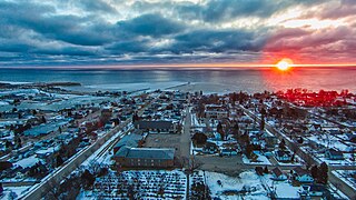
Kewaunee is a city in Kewaunee County, Wisconsin, United States. The population was 2,837 at the 2020 census. Located on the northwestern shore of Lake Michigan, the city is the county seat of Kewaunee County. Its Menominee name is Kewāneh, an archaic name for a species of duck.

Marinette is a city in and the county seat of Marinette County, Wisconsin, United States. It is located on the south bank of the Menominee River, at its mouth at Green Bay, part of Lake Michigan; to the north is Stephenson Island, part of the city preserved as park. During the lumbering boom of the late 19th century, Marinette became the tenth-largest city in Wisconsin in 1900, reaching a peak population of 16,195.

Keshena is a census-designated place (CDP) in and the county seat of Menominee County, Wisconsin, United States. Located on the Menominee Indian Reservation, it had a population of 1,257 at the 2020 census. Keshena was named for an Indian chief; the Menominee name is Kesīqnaeh which means "Swift Flying".

Shiocton is a village in Outagamie County, Wisconsin, United States. The population was 921 at the 2010 census. It is wholly surrounded by the Town of Bovina.

Chain O' Lakes-King is a former census-designated place (CDP) in Waupaca County, Wisconsin, United States. The population was 2,215 at the 2000 census. It is located within the towns of Farmington and Dayton. For the 2010 census, Chain O' Lakes-King was split into the CDPs of Chain O' Lakes and King.

Appleton is a city in Outagamie, Calumet, and Winnebago counties in the U.S. state of Wisconsin. One of the Fox Cities, it is situated on the Fox River, 30 miles (48 km) southwest of Green Bay and 100 miles (160 km) north of Milwaukee. Appleton is the county seat of Outagamie County. As of the 2020 Census it had a population of 75,644, making it the sixth largest city in Wisconsin. Appleton is a part of the Fox Cities metropolitan area, the third largest in the state behind Milwaukee and Madison.
Mishicot is a village in Manitowoc County, Wisconsin, United States. The population was 1,442 at the 2010 census. The village is adjacent to the Town of Mishicot.
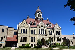
Oconto is a city in Oconto County, Wisconsin, United States. The population was 4,609 at the 2020 census. It is part of the Green Bay Metropolitan Statistical Area. The city is located partially within the town of Oconto.
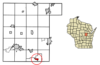
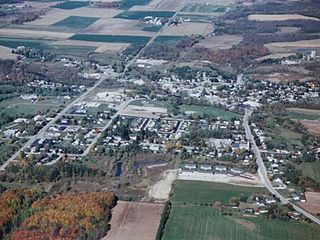
Fremont is a village in Waupaca County, Wisconsin, United States. It is surrounded by Town of Fremont. The population was 679 at the 2010 census. Fremont has been referred to as the "White Bass Capital of the World."
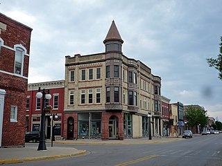
Waupaca is a city in and the county seat of Waupaca County in the U.S. state of Wisconsin. The population was 6,282 at the 2020 census.
Winneconne is a town in Winnebago County, Wisconsin, United States. The population was 2,350 at the 2010 census. The Village of Winneconne is located within the town, on both sides of the Wolf River. The unincorporated community of Butte des Morts, named for a French and Native American trading war, is also located in the town. The town's water resources of rivers and lakes makes it a center of hunting and fishing, including winter ice fishing.

Winneconne is a village in Winnebago County, Wisconsin. The population was 2,383 at the time of the 2010 census. The village is located within the Town of Winneconne. Developed along the Wolf River, the city is in the middle of the Wolf Chain of lakes, including Poygan, Winneconne, and Butte des Morts. It is host to numerous bass fishing tournaments.

The Menominee are a federally recognized nation of Native Americans. Their land base is the Menominee Indian Reservation in Wisconsin. Their historic territory originally included an estimated 10 million acres (40,000 km2) in present-day Wisconsin and the Upper Peninsula of Michigan. The tribe currently has about 8,700 members.
The Menominee Indian Reservation is an Indian reservation located in northeastern Wisconsin held in trust by the United States for the Menominee Tribe of Wisconsin. It is the largest Indian reservation east of the Mississippi River. In the Menominee language, it is called Omāēqnomenēw-Otāēskonenan, "Menominee Thing Set Apart", or alternatively omǣqnomenēw-ahkīheh, "in the Menominee Country".

Butte des Morts is an unincorporated census-designated place in the town of Winneconne, in Winnebago County, Wisconsin, United States.

