This article has multiple issues. Please help improve it or discuss these issues on the talk page . (Learn how and when to remove these messages)
|
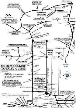
Chikmagalur railway station | |||||
|---|---|---|---|---|---|
| General information | |||||
| Location | Belur Road, Chikmagalur India | ||||
| Coordinates | 13°18′11″N75°47′22″E / 13.30306°N 75.78944°E | ||||
| Elevation | 1,010 metres (3,310 ft) | ||||
| System | Regional rail and light rail station | ||||
| Owned by | Indian Railways | ||||
| Operated by | South Western Railway Zone | ||||
| Line | Kadur-Chikkamagalur-Hassan | ||||
| Platforms | 2 | ||||
| Tracks | 3 | ||||
| Construction | |||||
| Parking | Yes | ||||
| Other information | |||||
| Status | Operational | ||||
| Station code | CMGR | ||||
| Zone(s) | South Western Railway Zone | ||||
| Division(s) | Mysore | ||||
| History | |||||
| Opened | 19 November 2013 | ||||
| Electrified | Yes | ||||
| |||||

The Chikmagalur railway station serves Chikmagalur in Karnataka. It was inaugurated on 19 November 2013 by then Union Railway Minister Mallikarjun Kharge along with Siddaramaiah, Chief Minister of Karnataka and C. T. Ravi, MLA, Chikkamagalur.