Dellslow, West Virginia | |
|---|---|
 Dellslow, West Virginia  Dellslow, West Virginia | |
| Coordinates: 39°36′25″N79°53′31″W / 39.60694°N 79.89194°W | |
| Country | |
| State | |
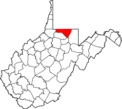
| County | |
| Elevation | 298 m (978 ft) |
| Time zone | UTC-5 (Eastern (EST)) |
| • Summer (DST) | UTC-4 (EDT) |
| ZIP code | 26531 |
| Area codes | 304 & 681 |
| GNIS feature ID | 1554284 [1] |
Dellslow is an unincorporated community in Monongalia County, West Virginia, United States. Dellslow was established in 1798 and is located along West Virginia Route 7 near the southern border of Brookhaven. Dellslow has a post office with ZIP code 26531. [2]
The community derives its name from Fredelsloh, Germany, the hometown of an early settler. [3]