
Cesar Department or simply Cesar is a department of Colombia located in the north of the country in the Caribbean region, bordering to the north with the Department of La Guajira, to the west with the Department of Magdalena and Department of Bolivar, to the south with Department of Santander, to the east with the Department of North Santander, and further to the east with the country of Venezuela. The department capital city is Valledupar.

Valledupar is a city and municipality in northeastern Colombia. It is the capital of Cesar Department. Its name, Valle de Upar, was established in honor of the Amerindian cacique who ruled the valley; Cacique Upar. The city lies between the mountains of the Sierra Nevada de Santa Marta and the Serranía del Perijá to the borders of the Guatapurí and Cesar rivers.

San Juan del Cesar is a municipality and town located in the La Guajira Department, Colombia.
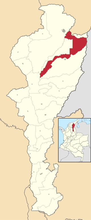
Los Robles La Paz or simply La Paz is a municipality and a town in the Department of Cesar, Colombia. The town is close to the Capital city of the Department of Cesar; Valledupar. The municipality of La Paz borders to the north with La Guajira Department, to the northeast with the municipality of Manaure. To the east with the Bolivarian Republic of Venezuela sharing the Serranía del Perijá mountain range. To the south with the municipality of Codazzi, southwest with the municipality of El Paso, Cesar. To the west with the municipality of San Diego and to the northwest with the municipality of Valledupar.

La Jagua de Ibirico is a town and municipality in the Department of Cesar, Colombia. This region of La Jagua is rich in coal which is exploited extensively and is second only to El Cerrejon in La Guajira. The area is also known for being a hot spot in the Colombian conflict.

Pueblo Bello, is a village and municipality in the northern region of the Department of Cesar, Colombia. It is located in the mountains of the Sierra Nevada de Santa Marta and is home to Amerindians pertaining to the Arhuaco ethnicity, whom consider Pueblo Bello a sanctuary but by the name of Arumake in their language. Pueblo Bello is the main producer of coffee in the Caribbean Region of Colombia.

Aguachica, is a city and municipality in the southern region of the Cesar Department, Colombia, located between the inter-Andean valley of Magdalena Medio and the Motilones. It is the second most populated municipality in the department and an important livestock and commercial center in the southeast of the Colombian Caribbean.

Agustín Codazzi, or Codazzi, is a city and municipality of the Department of Cesar in Colombia. It was founded in 1784 by the Spanish Captain Salvador Felix de Arias with the name of El Pueblito del Espiritu Santo but later renamed after the Italian cartographer, Giovanni Battista Agostino Codazzi, who died in this place in 1859. It is located along the Serranía del Perijá, covering some of the area pertaining to the valley of the Cesar River.

Chimichagua is a city and municipality in the central region of the Department of Cesar, Colombia. Approximately one third of the municipality of Chimichagua is water. The municipality seat lies by the Cienaga de Zapatosa marshes.

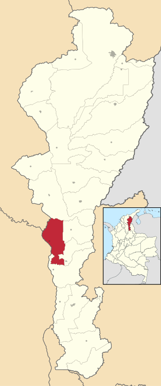
Becerril or Becerril de Campos is a town and municipality of the Colombian Department of Cesar.

Bosconia is a town and municipality in the Colombian Department of Cesar.
Tamalameque is a town and municipality in the Colombian Department of Cesar. It was originally the site of a Chimila settlement, Thamara. Tamalameque is located on the right bank of the Magdalena River and borders Chimichagua and Pailitas in the north, Pelaya in the east, La Gloria in the south and in the west the departments of Bolívar and Magdalena.
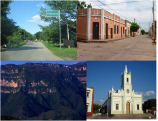
Villanueva is a town and municipality located in the northern Department of La Guajira, Colombia. Villanueva is known in Colombia for being the cradle of many vallenato singers and composers. The economy of the town relies heavily on agriculture and farming.

Urumita is a town and municipality of the Colombian Department of La Guajira.
The History of Valledupar refers to the historical events related to the Colombian city of Valledupar. The region of what is now Valledupar was prior to the Spanish conquest of the Americas inhabited by numerous indigenous tribes pertaining to three major language families; the Arawaks, Kalina (Caribs) and Chibchas.

Valencia de Jesús is a Colombian town and corregimiento of Valledupar in the Department of Cesar. The village is known for preserving one of the oldest churches in the Americas.

Atanquez or San Sebastian is a Colombian town and corregimiento of Valledupar in the Department of Cesar. Atanquez is located on the Sierra Nevada de Santa Marta mountain range at approximately 2,000 m over sea level. Atanquez is known for being predominantly inhabited by the indigenous ethnic group Kankuamos among others and mestizo groups.

The Chimilas or Ette Ennaka are an Indigenous people in the Andes of north-eastern Colombia. Their Chimila language is part of the Chibcha language family, of which there were estimated to be around 1000 speakers in 1998. At the time of the Spanish Conquest the Ariguaní River valley was the strategic centre of their territory. On the Serranía del Perijá mountains the Yukpas were also part of the Chimila confederation of tribes.

María Concepción Loperena de Fernández de Castro was a Colombian independence activist and patriot who supported the armies of Simón Bolívar in the independence of Valledupar. She was also an abolitionist who freed hundreds of slaves on her properties in Becerril and La Jagua de Ibirico.


