Related Research Articles

Garrett County is the westernmost county of the U.S. state of Maryland. As of the 2010 census, the population was 30,097, making it the third-least populous county in Maryland. Its county seat is Oakland. The county was named for John Work Garrett (1820–1884), president of the Baltimore and Ohio Railroad. Created from Allegany County, Maryland in 1872, it was the last Maryland county to be formed.

Arona is a borough in Westmoreland County, Pennsylvania, United States. The population was 370 at the 2010 census.

Daleville is a census-designated place (CDP) in Botetourt County, Virginia, United States. The population was 2,557 as of the 2010 census, an increase of over 75% from the 2000 census, when the population was 1,454. It is part of the Roanoke Metropolitan Statistical Area. One of the county's two high schools, Lord Botetourt, is located in Daleville.
Mount Airy is an unincorporated community in northeastern Pittsylvania County, Virginia, United States. Its altitude is 643 feet (196 m), and it is located at 36°56′35″N79°11′32″W, along State Route 40 between Gretna and Brookneal. It is included in the Danville, Virginia Metropolitan Statistical Area.

Millboro is an unincorporated community in Bath County, Virginia, in the United States.
Beverly Heights is an unincorporated community in Pittsylvania County, in the U.S. state of Virginia.
Brosville is an unincorporated community in Pittsylvania County, in the U.S. state of Virginia.
Callahans Hills is an unincorporated community in Pittsylvania County, in the U.S. state of Virginia.
Cascade is an unincorporated community in Pittsylvania County, in the U.S. state of Virginia.
Fox Hollow is an unincorporated community in Pittsylvania County, in the U.S. state of Virginia.
Hinesville is an unincorporated community in Pittsylvania County, in the U.S. state of Virginia.
Pickerel is an unincorporated community in Pittsylvania County, in the U.S. state of Virginia.
Rondo is an unincorporated community in Pittsylvania County, in the U.S. state of Virginia.
Smothers is an unincorporated community in Pittsylvania County, in the U.S. state of Virginia.
Soapstone is an unincorporated community in Pittsylvania County, in the U.S. state of Virginia. It holds the world's largest deposit of soapstone.
Swansonville is an unincorporated community in Pittsylvania County, in the U.S. state of Virginia.
Vance is an unincorporated community in Pittsylvania County, in the U.S. state of Virginia.
Whitfield is an unincorporated community in Pittsylvania County, in the U.S. state of Virginia.
Woodlake Park is an unincorporated community in Pittsylvania County, in the U.S. state of Virginia.

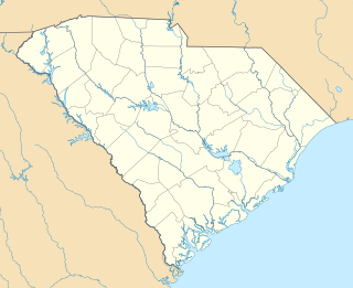
Enoree is a Census-designated place located in Spartanburg County in the U.S. state of South Carolina. According to the 2010 United States Census, the population was 665.
References
Coordinates: 36°39′38″N79°25′02″W / 36.66056°N 79.41722°W
| | This Pittsylvania County, Virginia state location article is a stub. You can help Wikipedia by expanding it. |
