Gifu Prefecture is a prefecture of Japan located in the Chūbu region of Honshu. Gifu Prefecture has a population of 1,991,390 and has a geographic area of 10,621 square kilometres (4,101 sq mi). Gifu Prefecture borders Toyama Prefecture to the north; Ishikawa Prefecture to the northwest, Fukui Prefecture and Shiga Prefecture to the west, Mie Prefecture to the southwest, Aichi Prefecture to the south, and Nagano Prefecture to the east.

Tajimi is a city located in Gifu, Japan. As of 1 March 2020, the city had an estimated population of 110,070 in 46,580 households, and a population density of 1200 people per km2. The total area of the city was 117.01 square kilometres (45.18 sq mi). The city is famous for its production of Mino ware ceramics, especially in the Oribe and Seto styles. Tajimi is a member of the World Health Organization’s Alliance for Healthy Cities (AFHC).

Nakatsugawa is a city located in Gifu, Japan. As of 31 December 2018, the city had an estimated population of 78,930, and a population density of 120 persons per km2 in 30,788 households The total area of the city was 676.45 square kilometres (261.18 sq mi).

Hashima is a city located in Gifu, Japan. As of 1 January 2019, the city had an estimated population of 67,909 in 26,327 households, and a population density of 1300 persons per km2, in 26,367 households. The total area of the city is 53.66 square kilometres (20.72 sq mi).

Ena is a city located in Gifu, Japan. As of 1 June 2019, the city had an estimated population of 48,777, and a population density of 96.7 persons per km2, in 19,820 households. The total area of the city was 504.24 square kilometres (194.69 sq mi).
Kakamigahara is a city located in southern Gifu Prefecture in Japan. As of 1 January 2019, the city had an estimated population of 148,225, and a population density of 1700 persons per km2, in 59,736 households. The total area of the city was 87.81 km2 (33.90 sq mi).

Kani is a city located in Gifu, Japan. As of 1 April 2024, the city had an estimated population of 99,826 and a population density of 1100 persons per km2, in 42,286 households. The total area of the city was 87.57 square kilometres (33.81 sq mi).

Ichinomiya is a city located in Aichi Prefecture, Japan. The city is sometimes called Owarichinomiya to avoid confusion with other municipalities of the same name, including Ichinomiya and Ichinomiya in Chiba Prefecture. As of 1 October 2019, the city had an estimated population of 379,654 in 161,434 households, and a population density of 3,336 persons per km2. The total area of the city was 113.82 square kilometres (43.95 sq mi).
Seto is a city in Aichi Prefecture, Japan. As of 1 October 2019, the city had an estimated population of 127,659 in 56,573 households, and a population density of 1,146 persons per km2. The total area was 111.40 square kilometres (43.01 sq mi).

Inuyama is a city in Aichi Prefecture, Japan. As of 1 October 2019, the city had an estimated population of 73,420 in 31,276 households, and a population density of 980 persons per km2. The total area of the city is 74.90 square kilometres (28.92 sq mi). The name of the city literally translates to "Dog Mountain". The name appears in historical records from 1336 AD, but its origin is unknown.
Kōnan is a city located in Aichi Prefecture, Japan. As of 1 October 2019, the city had an estimated population of 97,903 in 41,363 households, and a population density of 3,242 inhabitants per square kilometre (8,400/sq mi). The total area of the city is 30.20 km2 (11.66 sq mi).

Inazawa is a city located in Aichi Prefecture, Japan. As of 1 October 2019, the city had an estimated population of 135,580 in 54,999 households, and a population density of 1,709 inhabitants per square kilometre (4,430/sq mi). The total area of the city was 79.35 km2 (30.64 sq mi).
Kanie is a town located in Ama District, Aichi Prefecture, Japan. As of 1 October 2019, the town had an estimated population of 37,082 in 16,647 households, and a population density of 3,344 persons per km2. The total area of the town was 11.09 square kilometres (4.28 sq mi).

Fusō is a town located in Niwa District, Aichi Prefecture, Japan. As of 1 October 2019, the town had an estimated population of 34,144 in 14,017 households, and a population density of 3,051 persons per km2. The total area of the town was 11.19 square kilometres (4.32 sq mi).

Kasamatsu is a town located in Hashima District, Gifu, Japan. As of 31 October 2018, the town had an estimated population of 22,273 and a population density of 2200 persons per km2, in 8944 households. The total area of the town was 10.30 square kilometres (3.98 sq mi).

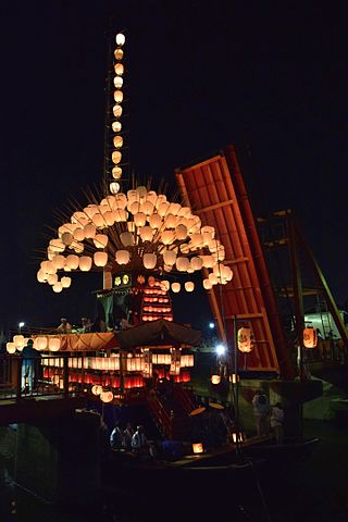
Kaizu is a city located in Gifu, Japan. As of 1 April 2018, the city had an estimated population of 34,960, and a population density of 310 persons per km2, in 12,167 households. The total area of the city was 112.03 square kilometres (43.26 sq mi). Most of the city is located at sea level and is well known for levees surrounding the area.
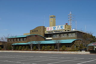
Anpachi is a town located in Gifu, Japan. As of 1 December 2018, the town had an estimated population of 15,072 in 5,291 households, and a population density of 830 persons per km2. The total area of the town was 18.16 square kilometres (7.01 sq mi).
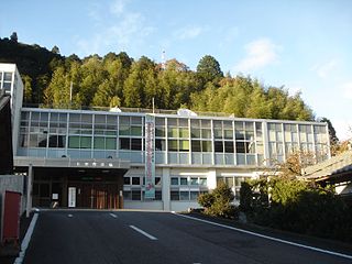
Hichisō is a town located in Kamo District, Gifu, Japan. As of 1 January 2019, the town had an estimated population of 3,801 in and a population density of 94 persons per km2, in 1437 households. The total area of the town was 7.91 square kilometres (3.05 sq mi).

Aisai is a city located in Aichi Prefecture, Japan. As of 1 October 2019, the city had an estimated population of 61,320 in 23,451 households, and a population density of 919 persons per km2. The total area of the city is 66.70 square kilometres (25.75 sq mi). Aisai is a member of the World Health Organization’s Alliance for Healthy Cities (AFHC).
Kiso is a town located in Nagano Prefecture, Japan. As of 5 April 2019, the town had an estimated population of 11,045 in 4892 households, and a population density of 23 persons per km2. The total area of the town is 476.03 square kilometres (183.80 sq mi). Kiso Town is listed as one of The Most Beautiful Villages in Japan.