Guerrero | |
|---|---|
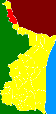 Municipality of Guerrero in Tamaulipas | |
| Coordinates: 26°33′N99°13′W / 26.550°N 99.217°W | |
| Country | |
| State | Tamaulipas |
| Municipal seat | Nueva Ciudad Guerrero |
| Population (2010) | |
• Total | 4,312 |
Guerrero is a municipality located in the Mexican state of Tamaulipas.
