This article needs additional citations for verification .(August 2014) |
| Haiphong Road | |||||||||||
|---|---|---|---|---|---|---|---|---|---|---|---|
 | |||||||||||
| Chinese | 海防道 | ||||||||||
| |||||||||||


Haiphong Road is a road south of Kowloon Park,Tsim Sha Tsui,Hong Kong. The road links Canton Road and Nathan Road. [1]
This article needs additional citations for verification .(August 2014) |
| Haiphong Road | |||||||||||
|---|---|---|---|---|---|---|---|---|---|---|---|
 | |||||||||||
| Chinese | 海防道 | ||||||||||
| |||||||||||


Haiphong Road is a road south of Kowloon Park,Tsim Sha Tsui,Hong Kong. The road links Canton Road and Nathan Road. [1]
It was initially named as Elgin Street but its name changed in 1909 to Haiphong, [2] a city in Vietnam to avoid confusion with another Elgin Street on the Hong Kong Island. As such,it is one of the few streets in Hong Kong not named for a Chinese or English subject. Along with Nathan Road it was one of the first two streets laid out in Tsim Sha Tsui. [3] Indian merchants,mostly Hindus from the province of Sindh,began establishing shops on the street in the 1920s,supplying Indian goods to soldiers stationed in the adjacent Whitfield Barracks. [4]
Significant locations along this street include the Fok Tak Temple,a century-old temple site that was "once the centre for worship for Kowloon residents"; [3] the Kowloon Masjid and Islamic Centre; [4] and the Haiphong Road Temporary Market,thought to be the oldest such market in Hong Kong. [3] [4]
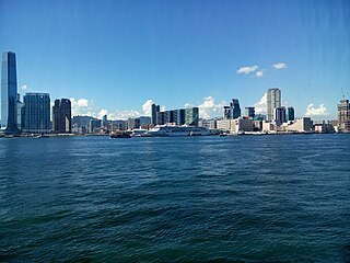
Kowloon is an urban area in Hong Kong comprising the Kowloon Peninsula and New Kowloon. With a population of 2,019,533 and a population density of 43,033/km2 (111,450/sq mi) in 2006,it is the most populous area in Hong Kong,compared with Hong Kong Island and the rest of the New Territories. The peninsula's area is about 47 km2 (18 sq mi).

Central is the central business district of Hong Kong. It is located in the northeastern corner of the Central and Western District,on the north shore of Hong Kong Island,across Victoria Harbour from Tsim Sha Tsui,the southernmost point of Kowloon Peninsula. The area was the heart of Victoria City,although that name is rarely used today.

Yau Ma Tei is an area in the Yau Tsim Mong District in the south of the Kowloon Peninsula in Hong Kong.
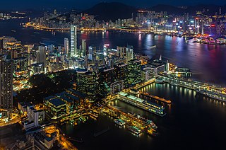
Tsim Sha Tsui,often abbreviated as TST,is an urban area in southern Kowloon,Hong Kong. The area is administratively part of the Yau Tsim Mong District. Tsim Sha Tsui East is a piece of land reclaimed from the Hung Hom Bay now east of Tsim Sha Tsui. The area is bounded north by Austin Road and in the east by Hong Chong Road and Cheong Wan Road.

Jordan is an area in Hong Kong,located on Kowloon Peninsula. It is named after a road of the same name in the district. The area is bordered by King's Park to the east,Tsim Sha Tsui to the south,Ferry Point to the west,and Yau Ma Tei to the north. Administratively,it is part of Yau Tsim Mong District.
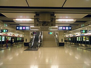
East Tsim Sha Tsui is a station of the Mass Transit Railway (MTR) system of Hong Kong. It is currently an intermediate station on the Tuen Ma line.

Nathan Road is the main thoroughfare in Kowloon,Hong Kong,aligned south–north from Tsim Sha Tsui to Sham Shui Po. It is lined with shops and restaurants and throngs with visitors,and was known in the post–World War II years as the Golden Mile,a name that is now rarely used. It starts on the southern part of Kowloon at its junction with Salisbury Road,a few metres north of Victoria Harbour,and ends at its intersection with Boundary Street in the north. Portions of the Kwun Tong and Tsuen Wan lines run underneath Nathan Road. The total length of Nathan Road is about 3.6 km (2.2 mi).
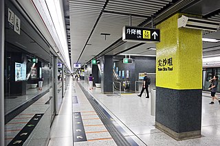
Tsim Sha Tsui is an MTR station on the Tsuen Wan line. The station,originally opened on 16 December 1979 on the Tsuen Wan line,serves the area of Tsim Sha Tsui.
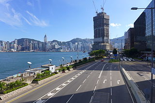
Salisbury Road is a major road in Tsim Sha Tsui,Kowloon,Hong Kong.
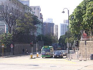
Austin Road is a road in-between Tsim Sha Tsui and Jordan,Kowloon,Hong Kong. It was named after John Gardiner Austin,Colonial Secretary of Hong Kong from 1868 to 1879. The northeast part of this street is noted for clubs,fields,and military buildings,while the western section is densely populated.

Middle Road is a street in the southern part of Tsim Sha Tsui,Kowloon,Hong Kong.

Mody Road is a street in Tsim Sha Tsui,Kowloon,Hong Kong.
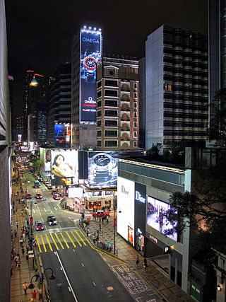
Canton Road is a major road in Hong Kong,linking the former west reclamation shore in Tsim Sha Tsui,Jordan,Yau Ma Tei,Mong Kok and Prince Edward on the Kowloon Peninsula. The road runs mostly parallel and west to Nathan Road. It starts from the junction with Salisbury Road in the south and ends in the north at the junction with Lai Chi Kok Road in the Prince Edward area. The southern section of Canton Road is home to many upscale retail shops,shopping centres and others business establishments,with busy traffic from both vehicles and pedestrians from morning till late night.

Whitfield Barracks were barracks in Tsim Sha Tsui,Kowloon,Hong Kong. It was named after Henry Wase Whitfield,who was appointed commander of the British Army in Hong Kong in 1869. The area is now the site of Kowloon Park,where four reconverted barrack blocks and parts of the former Kowloon West II Battery remain.

China Hong Kong City is a commercial complex that includes five office towers,a shopping centre,a hotel and a ferry terminal in Tsim Sha Tsui,Kowloon,Hong Kong. The complex opened in 1988 on land formerly occupied in part by the Royal Naval Dockyard and the Sea Terminus. It is situated along Canton Road,next to The Gateway and the Tsim Sha Tsui Fire Station. The complex is managed by the Sino Group.

The Hong Kong Heritage Discovery Centre is located in the Kowloon Park,Haiphong Road,Tsim Sha Tsui,Kowloon,Hong Kong. The Centre occupies the historic Blocks S61 and S62 of the former Whitfield Barracks at the Kowloon Park.

Peking Road is a road between Nathan Road and Canton Road in Tsim Sha Tsui,Kowloon,Hong Kong. The road is mainly hotels and shopping area on the street level.

Granville Road is a street in Tsim Sha Tsui,Hong Kong.

Carnarvon Road is a street in Tsim Sha Tsui,Kowloon,Hong Kong. It forms the shape of an uppercase "J",linking Kimberley Road and Nathan Road.

Fok Tak Temple is the only Chinese temple in Tsim Sha Tsui,Kowloon,Hong Kong. It is located on Haiphong Road and the current structure dates back to the year 1900. The temple was renovated in 1979 and 1993.
Coordinates: 22°17′53″N114°10′13″E / 22.2981°N 114.1704°E