
Kowloon is an urban area in Hong Kong comprising the Kowloon Peninsula and New Kowloon. It has a population of 2,019,533 and a population density of 43,033/km2 (111,450/sq mi) in 2006. It is one of the three areas of Hong Kong, along with Hong Kong Island and the New Territories, and is the smallest, second most populous and most densely populated.

The Kowloon–Canton Railway was a railway network in Hong Kong. It was owned and operated by the Kowloon–Canton Railway Corporation (KCRC) until 2007. Rapid transit services, a light rail system, feeder bus routes within Hong Kong, and intercity passenger and freight train services to China on the KCR network, have been operated by the MTR Corporation since 2007.

Sha Tin District is one of the 18 districts of Hong Kong. As one of the 9 districts located in the New Territories, it covers the areas of Sha Tin, Tai Wai, Ma On Shan, Fo Tan, Siu Lek Yuen, Kwun Yam Shan and Ma Liu Shui. The district is the most populous district in Hong Kong, with a population of 659,794 as per 2016 by-census, having a larger population than many states or dependencies including Iceland, Malta, Montenegro and Brunei.

Tolo Harbour, or Tai Po Hoi, is a sheltered harbour in northeast New Territories of Hong Kong.

Sha Tin, also spelt Shatin, is a neighbourhood along Shing Mun River in the eastern New Territories, Hong Kong. Administratively, it is part of the Sha Tin District. Sha Tin is one of the neighbourhoods of the Sha Tin New Town project.
Castle Peak Road is the longest road in Hong Kong. Completed in 1920, it runs in the approximate shape of an arc of a semi-circle. It runs West from Tai Po Road in Sham Shui Po, New Kowloon, to Tuen Mun, then north to Yuen Long then east to Sheung Shui, in the very north of the New Territories. It is divided into 22 sections. It serves south, west and north New Territories, being one of the most distant roads in early Hong Kong.

Sham Shui Po District is one of 18 districts of Hong Kong. It is the second poorest district by income in Hong Kong, with a predominantly working-class population of 405,869 in 2016 and the lowest median household income of all districts. Sham Shui Po has long been home to poorer new immigrants from China. It also saw the birth of public housing in Hong Kong, as the government sought to resettle those displaced by a devastating fire in its slums. Sham Shui Po also hosted a Vietnamese refugee camp during the influx of migration in the aftermath of the Vietnam War in the 1970s.

Tolo Highway is a major expressway on Route 9 in Hong Kong. It connects the new towns of Sha Tin and Tai Po in the eastern New Territories, forming part of the New Territories Circular Road.
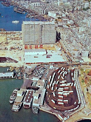
Jordan Road Ferry Pier or Ferry Point (1924–1998) is a demolished pier originally located at Jordan Road, Jordan, Hong Kong.
Articles related to Hong Kong include:

Sham Shui Po Ferry Pier was a ferry pier in Sham Shui Po, Kowloon, Hong Kong that operated from 1919 to 1992. It was one of the important ferry piers in West Kowloon and had a bus terminus nearby.
Public housing estates in Shek Kip Mei are public housing in an area originally known as Kap Shek Mi in New Kowloon on the North Eastern Kowloon Peninsula of Hong Kong.

The Hong Kong government started developing new towns in the 1950s to accommodate Hong Kong's booming population. During the first phase of development, the newly developed towns were called "satellite towns", a concept borrowed from the United Kingdom, of which Hong Kong was a colony. Kwun Tong, located in eastern Kowloon, and Tsuen Wan, located in the south-west of the New Territories, were designated as the first satellite towns, when the urban area in Hong Kong was still relatively small, restricted to the central and western parts of Kowloon Peninsula and the northern side of Hong Kong Island. Wah Fu Estate was also built in a remote corner on the southern side of Hong Kong Island, with similar concepts but at a smaller scale.


