Harmony Township Posey County | |
|---|---|
 | |
| Coordinates: 38°07′18″N87°54′24″W / 38.12167°N 87.90667°W | |
| Country | United States |
| State | Indiana |
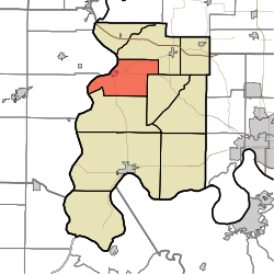
| County | Posey |
| Government | |
| • Type | Indiana township |
| Area | |
• Total | 35.93 sq mi (93.05 km2) |
| • Land | 35.24 sq mi (91.28 km2) |
| • Water | 0.68 sq mi (1.77 km2) |
| Elevation | 407 ft (124 m) |
| Population (2020) | |
• Total | 1,245 |
| • Density | 35.33/sq mi (13.64/km2) |
| FIPS code | 18-31504 [2] |
| GNIS feature ID | 453374 |
Harmony Township is one of ten townships in Posey County, Indiana. As of the 2020 census, its population was 1,245. [3]
Contents
| Census | Pop. | Note | %± |
|---|---|---|---|
| 1890 | 2,304 | — | |
| 1900 | 2,443 | 6.0% | |
| 1910 | 2,168 | −11.3% | |
| 1920 | 1,841 | −15.1% | |
| 1930 | 1,793 | −2.6% | |
| 1940 | 2,151 | 20.0% | |
| 1950 | 2,107 | −2.0% | |
| 1960 | 1,809 | −14.1% | |
| 1970 | 1,618 | −10.6% | |
| 1980 | 1,536 | −5.1% | |
| 1990 | 1,432 | −6.8% | |
| 2000 | 1,473 | 2.9% | |
| 2010 | 1,338 | −9.2% | |
| 2020 | 1,245 | −7.0% | |
| Source: US Decennial Census [4] | |||
