Ifafa Beach | |
|---|---|
 Ifafa Beach  Ifafa Beach | |
| Coordinates: 30°27′S30°39′E / 30.450°S 30.650°E | |
| Country | South Africa |
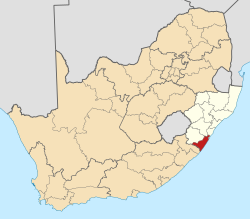
| Province | KwaZulu-Natal |
| District | Ugu |
| Municipality | Umdoni |
| Area | |
• Total | 0.58 km2 (0.22 sq mi) |
| Population (2011) [1] | |
• Total | 133 |
| • Density | 230/km2 (590/sq mi) |
| Racial makeup (2011) | |
| • Black African | 33.6% |
| • Coloured | 47.8% |
| • White | 15.7% |
| • Other | 3.0% |
| First languages (2011) | |
| • English | 62.1% |
| • Zulu | 25.0% |
| • Afrikaans | 9.1% |
| • Xhosa | 3.0% |
| • Other | 0.8% |
| Time zone | UTC+2 (SAST) |
| PO box | 4185 |
| Area code | 039 |
Ifafa Beach is a small coastal town situated in the KwaZulu-Natal Province of South Africa. It is situated on the lagoon of the Fafa River mouth. The river's name is derived from the Zulu word "iFafa" which means sparkling.