Kennedyville, Maryland | |
|---|---|
 Aerial image of Kennedyville | |
 Kennedyville  Kennedyville | |
| Coordinates: 39°18′19″N75°59′42″W / 39.30528°N 75.99500°W | |
| Country | |
| State | |
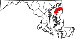
| County | |
| Area | |
• Total | 0.52 sq mi (1.34 km2) |
| • Land | 0.51 sq mi (1.32 km2) |
| • Water | 0.0077 sq mi (0.02 km2) |
| Elevation | 69 ft (21 m) |
| Population (2020) | |
• Total | 230 |
| • Density | 450.0/sq mi (173.74/km2) |
| Time zone | UTC-5 (Eastern (EST)) |
| • Summer (DST) | UTC-4 (EDT) |
| ZIP code | 21645 |
| Area codes | 410, 443, and 667 |
| GNIS feature ID | 590588 [2] |
| FIPS code | 24-43475 |
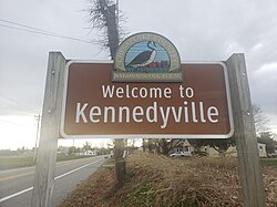
Kennedyville is an unincorporated community and census-designated place in Kent County, Maryland, United States. [2] As of the 2010 census it had a population of 199. [3]
Contents
Knocks Folly, Shrewsbury Church, and Woodland Hall are listed on the National Register of Historic Places. [4]