
The Arctic Archipelago, also known as the Canadian Arctic Archipelago, is an archipelago lying to the north of the Canadian continental mainland, excluding Greenland and Iceland.
Good Spirit Acres is a hamlet in the Canadian province of Saskatchewan. It is located 2 km south of Good Spirit Lake and Good Spirit Lake Provincial Park in the RM of Good Lake No. 274.

Old Fort 217 is an Indian reserve of the Mikisew Cree First Nation in Alberta, located within Regional Municipality of Wood Buffalo. In the 2016 Canadian Census, it recorded a population of 0 living in 0 private dwellings. It is located 188 kilometres (117 mi) north of Fort McMurray, at an elevation of 214 metres (702 ft). In 2001, there were 5 people living on-reserve.
The Shoal Lake Cree Nation is a Swampy Cree First Nations band government in Saskatchewan, Canada located 98 kilometres (61 mi) east of Nipawin. The Cree First Nation is on the Carrot River and can be accessed by Highway 55. Nearby to the west is the Red Earth First Nation.

Red Earth Cree Nation is a Cree community in Saskatchewan, Canada. It is located 225 kilometres (140 mi) northeast of Prince Albert. The main settlement of Red Earth is located on the Carrot River and accessed by Highway 55. Nearby to the east is the Shoal Lake First Nation.
The Zagime Anishinabek are a Saulteaux band government in southern Saskatchewan, Canada. Their reserves include:

Shesheep 74A is an Indian reserve of the Zagime Anishinabek in Saskatchewan. It is on the left bank of the Qu'Appelle River, at the west end of Crooked Lake. In the 2016 Canadian Census, it recorded a population of 111 living in 56 of its 179 total private dwellings. In the same year, its Community Well-Being index was calculated at 81 of 100, compared to 58.4 for the average First Nations community and 77.5 for the average non-Indigenous community.

Cumberland House Cree Nation 20 is an Indian reserve of the Cumberland House Cree Nation in Saskatchewan. The reserve is on Cumberland Island in the Saskatchewan River Delta, about 96 kilometres (60 mi) south-west of Flin Flon.

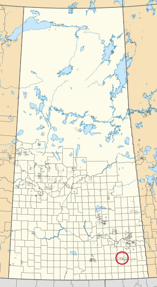
Keeseekoose 66-KE-04 is an Indian reserve of the Keeseekoose First Nation in Saskatchewan. It is 15 kilometres east of Canora. In the 2016 Canadian Census, it was recorded as uninhabited.

Keeseekoose 66-KE-05 is an Indian reserve of the Keeseekoose First Nation in Saskatchewan. It is 19 kilometres northeast of Canora. In the 2016 Canadian Census, it recorded a population of 5 living in 1 of its 2 total private dwellings.

Little Bone 74B is an Indian reserve of the Zagime Anishinabek in Saskatchewan. It is in Townships 23 and 24, Ranges 3 and 4, west of the Second Meridian. In the 2016 Canadian Census, it recorded a population of 24 living in 8 of its 8 total private dwellings.
Ocean Man 69G is an Indian reserve of the Ocean Man First Nation in Saskatchewan. In the 2016 Canadian Census, it recorded a population of 0 living in 0 of its 0 total private dwellings.

Ocean Man 69H is an Indian reserve of the Ocean Man First Nation in Saskatchewan. In the 2016 Canadian Census, it recorded a population of 5 living in 3 of its 3 total private dwellings.

Ocean Man 69I is an Indian reserve of the Ocean Man First Nation in Saskatchewan. In the 2016 Canadian Census, it recorded a population of 5 living in 1 of its 1 total private dwellings.

Ochapowace 71-51 is an Indian reserve of the Ochapowace Nation in Saskatchewan. It is 6 kilometres south of Atwater. In the 2016 Canadian Census, it recorded a population of 0 living in 0 of its 0 total private dwellings.

Sakimay 74 is an Indian reserve of the Zagime Anishinabek in Saskatchewan. It is 16 kilometres northwest of Broadview. In the 2016 Canadian Census, it recorded a population of 147 living in 46 of its 170 total private dwellings. In the same year, its Community Well-Being index was calculated at 52 of 100, compared to 58.4 for the average First Nations community and 77.5 for the average non-Indigenous community.

The Key 65 is an Indian reserve of The Key First Nation in Saskatchewan, Canada. It is 26 kilometres northwest of Kamsack. In the 2016 Canadian Census, it recorded a population of 143 living in 46 of its 58 total private dwellings. In the same year, its Community Well-Being index was calculated at 60 of 100, compared to 58.4 for the average First Nations community and 77.5 for the average non-Indigenous community.

Wealden Edge Hangers is a 222.4-hectare (550-acre) biological Site of Special Scientific Interest north of Petersfield in Hampshire. An area of 48 hectares is Wealden Edge Hangers Local Nature Reserve and an area of 144.1 hectares is Ashford Hangers National Nature Reserve. Wealden Edge Hangers is part of the East Hampshire Hangers Special Area of Conservation.

Liss Riverside Railway Walk South is a 1.6-hectare (4.0-acre) Local Nature Reserve in Liss in Hampshire. It is owned and managed by Liss Parish Council.
