
Madrid is a former town, now a part of the unorganized territory of East Central Franklin, in Franklin County, Maine, United States. The population was 173 at the 2000 census.

Magalloway is a township in Oxford County, Maine, United States. It has been part of North Oxford unorganized territory since it de-organized as a plantation in 2021. The population was 45 at the 2020 census. Part of the Umbagog National Wildlife Refuge is located at its southwestern corner.
Woodstock is a town in Oxford County, Maine, United States. Woodstock is included in the Lewiston-Auburn, Maine metropolitan New England city and town area. The population was 1,352 at the 2020 census. The village of Bryant Pond, on State Route 26 in the northern part of Woodstock, is the town's urban center and largest settlement.
Centerville is a township in Washington County, Maine, in the United States. As of the 2000 census, the town population was 26.
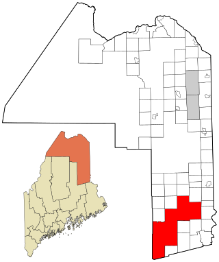
South Aroostook is an unorganized territory in Aroostook County, Maine, United States. The population was 579 at the 2020 census.

Square Lake is an unorganized territory in Aroostook County, Maine, United States. The population was 706 at the 2020 census.
North Franklin is an unorganized territory in Franklin County, Maine, United States. The population was 41 at the 2020 census. The territory consists of 13 townships and three gores, namely Lang, Davis, Tim Pond, Stetsontown, Jim Pond, Alder Stream, Seven Ponds, Kibby, Chain of Ponds, Massachusetts Gore, Coburn Gore, Skinner, Merrill Strip, Lowelltown, Gorham Gore, and Beattie.
Central Hancock, also known as Fletchers Landing, is an unorganized territory (township) in Hancock County, Maine, United States. The population was 132 at the 2020 census. The territory is designated as Township 8 Southern Division.
East Hancock is an unorganized territory in Hancock County, Maine, United States. The population was 85 at the 2020 census.
Milton is an unorganized territory (township) in Oxford County, Maine, United States. The population was 150 at the 2020 census. The township was formerly a plantation that surrendered its organization in 1939.

South Oxford is an unorganized territory located in Oxford County, Maine, United States. The population was 591 at the 2020 census. The unorganized territory encompasses the areas designated under state law as Albany Township, Mason Township, and Batchelder's Grant. Albany and Mason were formerly incorporated as towns. Albany disincorporated in 1937 while Mason disincorporated in 1935.
East Central Penobscot is an unorganized territory in Penobscot County, Maine, United States. The population was 308 at the 2020 census.
Kingman is an unorganized territory (township) in Penobscot County, Maine, United States. The population was 137 at the 2020 census.
North Penobscot is an unorganized territory in Penobscot County, Maine, United States. The population was 405 at the 2020 census.
Prentiss is an unorganized territory (township) in Penobscot County, Maine, United States. The township was named for Henry Prentiss, an early landowner. The population was 169 at the 2020 census.
Central Somerset is an unorganized territory in Somerset County, Maine, United States. The population was 336 at the 2020 census.
Northeast Somerset is an unorganized territory in Somerset County, Maine, United States. The population was 367 at the 2020 census.
Seboomook Lake is an unorganized territory in Somerset County, Maine, United States. The population was 23 at the 2020 census.
East Central Washington is an unorganized territory in Washington County, Maine, United States. The population was 724 at the 2020 census.
Hush Lake is an unorganized territory in Saint Louis County, Minnesota, United States. As of the 2000 census, the unorganized territory had a total population of three.


