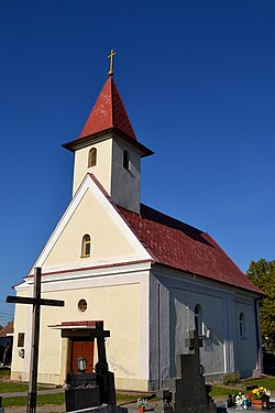
History
The surroundings of the village of Opoj were a suitable place for settlement in prehistorc times, thanks to the ubiquitous water. The oldest remains of human activity in the surroundings of Opoj are finds from the Old Stone Age, from a period of approximately 38,000 years. The first finds from the cadastral area of Opoj come directly from the New Stone Age, defined by the years 5000 BC to 3300 BC. From 550 AD, the first Slavs penetrated this territory. Under their pressure, part of the original Germanic ethnic group that was located here disintegrated. In 833, the new state entity of Great Moravia emerged by merging the Principalities of Nitra and Moravia . This entity is also extremely important for understanding the history of the surroundings of Opoj, because it was during this period that the Slavs founded a large lowland fort near Dudváh. The first known written mention of Opoy is found in a document of the Nitra Chapter from 1266. The content of the document concerns the sale of part of the property of Majcichov. In the document of the Bratislava Chapter from 1278, which describes the borders of Zeleneč, Slovakia, “terra Opoy” is mentioned as the property of Bratislava Castle. [6] [7]
Population
Population statistic (10 years) [8] | Year | 1994 | 2004 | 2014 | 2024 |
|---|
| Count | 788 | 801 | 1028 | 1344 |
|---|
| Difference | | +1.64% | +28.33% | +30.73% |
|---|
Population statistic [8] | Year | 2023 | 2024 |
|---|
| Count | 1335 | 1344 |
|---|
| Difference | | +0.67% |
|---|
It has a population of 1344 people (31 December 2024). [9]
Ethnicity
Census 2021 (1+ %) [10] [11] | Ethnicity | Number | Fraction |
|---|
| Slovak | 1201 | 94.64% |
| Not found out | 50 | 3.94% |
| Total | 1269 |
In year 2021 was 1269 people by ethnicity 1201 as Slovak, 50 as Not found out, 9 as Czech, 7 as Hungarian, 5 as Russian, 4 as Romanian, 4 as Other, 3 as Vietnamese, 2 as Romani, 2 as Rusyn, 2 as German, 2 as Moravian, 1 as Serbian, 1 as Austrian, 1 as Croatian and 1 as Bulgarian.
| Note on population |
|---|
The difference between the population numbers above and in the census (here and below) is that the population numbers above are mostly made up of permanent residents, etc.; and the census should indicate the place where people actually mainly live.
For example, a student is a citizen of a village because he has permanent residence there (he lived there as a child and has parents), but most of the time he studies at a university in the city. |
Religion
In year 2021 was 1269 people by religion 898 from Roman Catholic Church, 266 from None, 47 from Not found out, 14 from Evangelical Church, 8 from Greek Catholic Church, 6 from Eastern Orthodox Church, 6 from Ad hoc movements, 5 from Paganism and natural spirituality, 4 from Seventh-day Adventist Church, 3 from Other, 3 from Buddhism, 2 from Calvinist Church, 2 from Christian Congregations in Slovakia, 1 from Other and not ascertained christian church, 1 from Jehovah's Witnesses, 1 from Islam, 1 from Hinduism and 1 from United Methodist Church.
This page is based on this
Wikipedia article Text is available under the
CC BY-SA 4.0 license; additional terms may apply.
Images, videos and audio are available under their respective licenses.