
McFarlan is a town in Anson County, North Carolina, United States. The population was 94 at the 2020 census. The town was named after Alan McFarland, a railroad official.

Morven is a town in Anson County, North Carolina, United States. The population was 329 at the 2020 census. The town was named after a town in Argyllshire, Scotland.

White Lake is a town in Bladen County, North Carolina, United States. At the 2020 census, the population was 843.
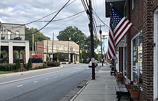
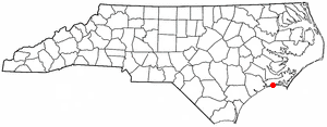
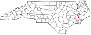
Varnamtown is a town in Brunswick County, North Carolina, United States situated on the banks of the Lockwood Folly River. The population was 541 at the 2010 census. It is part of the Wilmington, NC Metropolitan Statistical Area.
Mount Pleasant is a town located in eastern Cabarrus County, North Carolina, United States. As of the 2010 census, the town population was 1,652. The town center is located at the crossroads of Mount Pleasant Road and North Carolina Highway 73. NC Highway 49 skirts the town to the north on its way from Charlotte to Asheboro.
Indian Beach is a town in Carteret County, North Carolina, United States. The population was 223 as of the 2020 census.

Peletier is a town in Carteret County, North Carolina, United States. The population was 644 at the 2010 census.

Earl is a town in Cleveland County, North Carolina, United States. The population was 260 at the 2010 census.

Fallston is a hamlet in Cleveland County, North Carolina, United States. The population was 607 at the 2010 census.

Lawndale is a town in Cleveland County, North Carolina, United States, situated along the First Broad River. The population was 606 at the 2010 census.
Boardman is a town in Columbus County, North Carolina, United States. Per the 2020 census, the population was 166.

Speed is a town in Edgecombe County, North Carolina, United States. It is part of the Rocky Mount, North Carolina Metropolitan Statistical Area. The population was 80 at the 2010 census.

Hassell is a town in Martin County, North Carolina, United States. The population was 84 at the 2010 census.
Mesic is a town in Pamlico County, North Carolina, United States. The population was 220 at the 2010 census. It is part of the New Bern, North Carolina Micropolitan Statistical Area.

Minnesott Beach is a town in Pamlico County, North Carolina, United States. The population was 440 at the 2010 census. It is part of the New Bern, North Carolina Metropolitan Statistical Area.

Columbus is a town and the county seat of Polk County, North Carolina, United States. The population was 1,060 at the 2020 census.

Proctorville is a town in Robeson County, North Carolina, United States. The population was 121 at the 2020 census.

Macon is a town located in Warren County, North Carolina, United States. As of the 2010 census, the town had a total population of 119. It is named for Nathaniel Macon, long-time Speaker of the U.S. House of Representatives.

Hilda is a town in Barnwell County, South Carolina, United States. The population was 447 at the 2010 census..

Weddington is a suburban town in Union County, North Carolina, United States. The population was 9,459 at the 2010 census. It is a suburb in the Charlotte metropolitan area. The current mayor of Weddington is Jim Bell.


