
Clarkton is a town in Bladen County, North Carolina, United States. The population was 614 at the 2020 census.

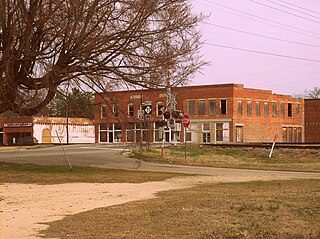
Chadbourn is a town in Columbus County, North Carolina, United States. The population was 1,856 at the 2010 census.
Fair Bluff is a town in Columbus County, North Carolina, United States that was devastated by coastal flooding from Hurricane Matthew in 2016 and inundated again by high water by Hurricane Florence in 2018.

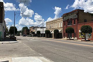
Whiteville is a city in Columbus County, North Carolina, United States. The population was 5,394 at the 2010 census. It is the most populous city in Columbus County and is the county seat.
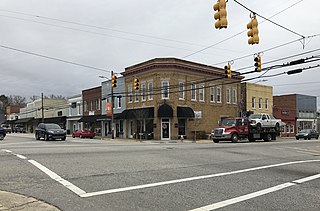
Angier is a town in the Black River Township of Harnett County, North Carolina, United States. The population was 4,350 at the 2010 census and estimated as of 2018 to be 5,253. Angier is a part of the greater Raleigh–Durham–Cary Combined Statistical Area (CSA) as defined by the United States Census Bureau.

Parmele is a town in Martin County, North Carolina, United States. The population was 278 at the 2010 census.

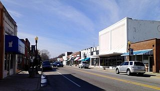
Aberdeen is a town in Moore County, North Carolina, United States. The population was 8,516 at the 2020 Census.

Barker Ten Mile is a census-designated place (CDP) in Robeson County, North Carolina, United States. The population was 952 at the 2010 census. According to local author Christopher Musselwhite, the name "Barker Ten Mile" comes from the location of the community, near Barker United Methodist Church and Ten Mile Swamp, a local waterway.

Lumber Bridge is a town in Robeson County, North Carolina, United States. The population was 82 at the 2020 census.

Lumberton is a city in Robeson County, North Carolina, United States. As of 2020, its population was 19,025. It is the county seat of Robeson County.
Marietta is a town located in Robeson County, North Carolina, United States. At the 2020 census, the population was 111.

McDonald is a town in Robeson County, North Carolina, United States. The population was 94 at the 2020 census.
Orrum is a town in Robeson County, North Carolina, United States. The population was 59 at the 2020 census.
Parkton is a town in Robeson County, North Carolina, United States. At the 2020 census, the population was 504.

Pembroke is a town in Robeson County, North Carolina, United States. It is about 90 miles inland and northwest from the Atlantic Coast. The population was 2,823 at the 2020 census. The town is the seat of the state-recognized Lumbee Tribe of North Carolina, as well as the home of the University of North Carolina at Pembroke.

Raynham is a town in Robeson County, North Carolina, United States. The population was 60 at the 2020 census.

Rennert is a town in Robeson County, North Carolina, United States. The population was 275 at the 2020 census. More than one-third of the population are Native American, primarily members of the Lumbee people, who are based in Robeson County,
Rowland is a town in Rowland Township, Robeson County, North Carolina, United States. The population was 885 at the 2020 census.

St. Pauls is a town in Robeson County, North Carolina, United States. The population was 2,045 at the 2020 census.

Red Springs is a town in Robeson County in the U.S. state of North Carolina. The population was 3,087 at the 2020 census.


