San Fernando | |
|---|---|
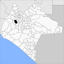 | |
 San Fernando Location in Mexico | |
| Coordinates: 16°52′0″N93°12′0″W / 16.86667°N 93.20000°W | |
| Country | |
| State | Chiapas |
| Area | |
• Total | 99.7 sq mi (258.3 km2) |
| Population (2020) | |
• Total | 41,793 |
| • Density | 420/sq mi (160/km2) |
San Fernando is a town and municipality in the Mexican state of Chiapas in southern Mexico.
As of 2020, the municipality had a total population of 41,793, [1] [2] up from 26,436 as of 2005. [3] It covers an area of 258.3 km2.
As of 2010, the town of San Fernando had a population of 9,651. [2] Other than the town of San Fernando, the municipality had 196 localities, the largest of which (with 2010 populations in parentheses) were: El Progreso (2,704), El Copalar (2,039), Francisco I. Madero (1,993), Gabriel Esquinca (1,968), Benito Juárez (1,488), Viva Cárdenas (1,431), Álvaro Obregón (1,126), and 16 de Septiembre (1,020), classified as rural. [2]
