Sena, New Mexico

Last updated

Sena, New Mexico
USA New Mexico location map.svg
Red pog.svg
Sena
Location within the state of New Mexico
Coordinates: 35°18′22″N105°22′42″W / 35.30611°N 105.37833°W / 35.30611; -105.37833 [1]
Country United States
State New Mexico
County San Miguel
Area
[2]
 • Total
2.13 sq mi (5.51 km2)
 • Land2.13 sq mi (5.51 km2)
 • Water0 sq mi (0.00 km2)
Elevation
[1]
5,876 ft (1,791 m)
Population
 (2020) [3]
 • Total
155
 • Density72.9/sq mi (28.15/km2)
Time zone UTC-7 (MST)
 • Summer (DST) UTC-6 (MDT)
Area code 505
FIPS code 35-71790
GNIS ID 2584218 [1]

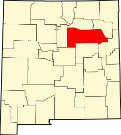
Sena is an unincorporated community and census-designated place in San Miguel County, New Mexico, United States. [1] It is located along the Pecos River and New Mexico State Highway 3.
Contents

History

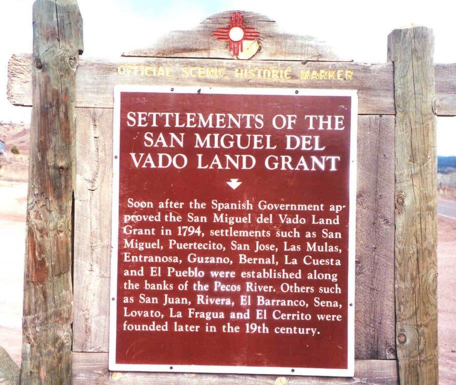
Sena was founded in the 19th century. [4]

Economy

Sena has no commercial enterprises of its own. The nearest store and Post Office is 3.2 miles (5.1 km) southeast, in the community of Villanueva.[ citation needed ]

Demographics

Historical population
CensusPop.Note%±
2020 155—
U.S. Decennial Census [5] [3]

Education

It is in the West Las Vegas Schools school district. [6] West Las Vegas High School is the area high school.

See also

References

  1. 1 2 3 4 U.S. Geological Survey Geographic Names Information System: Sena, New Mexico
  2. ↑ "ArcGIS REST Services Directory". United States Census Bureau. Retrieved October 12, 2022.
  3. 1 2 "Census Population API". United States Census Bureau. Retrieved October 12, 2022.
  4. ↑ Settlements of the San Miguel Del Vado Land Grant; Official Scenic Historic Marker.
  5. ↑ "Census of Population and Housing". Census.gov. Retrieved June 4, 2016.
  6. ↑ "2020 CENSUS - SCHOOL DISTRICT REFERENCE MAP: San Miguel County, NM" (PDF). U.S. Census Bureau . Retrieved July 12, 2022.