
Ocheyedan is a city in Osceola County, Iowa, United States. The population was 439 at the time of the 2020 census.
Steuben is a town in Washington County, Maine, United States. Incorporated in 1795, it was named after Baron Friedrich Wilhelm von Steuben, the Inspector General of the U.S. Army during the Revolutionary War. The population was 1,129 at the 2020 census.

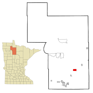
Kelliher is a city in Beltrami County, Minnesota, United States. The population was 258 at the 2020 census. Minnesota State Highway 72 is the primary route through Kelliher.
Tenstrike is a city in Beltrami County, Minnesota, United States. The population was 201 at the 2010 census. It is 21 miles northeast of Bemidji.

Mendota is a city in Dakota County, Minnesota, United States. The name is a mispronunciation of the Dakota word for the location, bdóte, which in Dakota tradition is the center of the world. The word in this use means "the confluence of the Minnesota and Mississippi Rivers," and generally "mouth or junction of one river with another." The population was 198 at the 2010 census.

Nevis is a city in Hubbard County, Minnesota, United States. The population was 377 at the 2020 census.

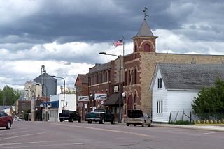
Marble is a city in Itasca County, Minnesota, United States. It is part of the chain of small mining towns known as the Iron Range. The population was 610 at the 2020 census.

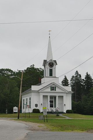
Urbank is a city in Otter Tail County, Minnesota, United States. The population was 52 at the 2020 census.
Arlington is a city in Sibley County, Minnesota, United States. The population was 2,233 at the 2010 census.

Gaylord is a city and the county seat of Sibley County, Minnesota, United States, along the shore of Titlow Lake. It is approximately 65 miles (105 km) west-southwest of Minneapolis-St. Paul. The population was 2,305 at the 2010 census.
Sibley Township is a township in Sibley County, Minnesota, United States. The population was 353 at the 2000 census.

Winthrop is a city in Sibley County, Minnesota, United States. The population was 1,399 at the 2010 census.

Hoyt Lakes is a city in Saint Louis County, Minnesota. The population was 2,020 at the time of the 2020 census.

Sibley is a village in Jackson County, Missouri, United States. The population was 314 at the 2020 census. It is known as the home of Fort Osage National Historic Landmark. It is part of the Kansas City metropolitan area.

Sublimity is a city in Marion County, Oregon, United States. The population was 2,967 at the 2020 census. It is part of the Salem Metropolitan Statistical Area.
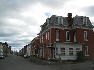
Beaver Springs is a census-designated place in Spring Township, Snyder County, Pennsylvania, United States. The population was 634 at the 2000 census.
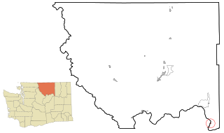
Elmer City is a town in Okanogan County, Washington, United States. The population was 239 at the 2020 census.

Eland is a village in Shawano County, Wisconsin, in the United States. The population was 202 at the 2010 census.

North Cass is an unorganized territory in Cass County, Minnesota, United States. The population was 282 at the 2020 census. It is part of the Brainerd Micropolitan Statistical Area.

Sullivant Township is one of twelve townships in Ford County, Illinois, USA. As of the 2020 census, its population was 479 and it contained 231 housing units.


