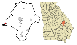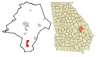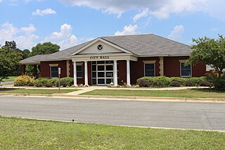
Emanuel County is a county located in the U.S. state of Georgia. As of the 2020 census, the population was 22,768. The county seat is Swainsboro.

Alma is a city in Bacon County, Georgia, United States, and the county seat. As of the 2020 census, the city had a population of 3,433.

Adrian is a city in Emanuel and Johnson County, Georgia, United States. As of the 2020 census, the city had a population of 552.

Garfield is a city in Emanuel County, Georgia, United States. The population was 257 in 2020.

Nunez is a city in Emanuel County, Georgia, United States. The population was 134 in 2020.

Oak Park is a city in Emanuel County, Georgia, United States. The population was 484 at the 2010 census, up from 366 in 2000. By 2020, its population was 512.

Summertown is a city in Emanuel County, Georgia, United States. The population was 121 in 2020.

Swainsboro is a city in Emanuel County, Georgia, United States. As of the 2020 census, the city had a population of 7,425. The city is the county seat of Emanuel County.

Twin City is a city in Emanuel County, Georgia, United States. As of the 2020 census, the city had a population of 1,642.

Gibson is a city in Glascock County, Georgia, United States. The population was 663 at the 2010 census. The city is the county seat of Glascock County and home to the Glascock County Courthouse, a National Register of Historic Places listed site.

Hartwell is a city in Hart County, Georgia, United States. The population was 4,469 at the 2010 census. The city is the county seat of Hart County.

Kite is a city in Johnson County, Georgia, United States, along the Little Ohoopee River. The population was 160 in 2020.

Wrightsville is a city in and the county seat of Johnson County, Georgia, United States. The population was 2,195 at the 2010 census, down from 2,223 at the 2000 census. By 2020, its population grew to 3,449. The city limits include Johnson State Prison on the northeast side of town. Wrightsville is part of the Dublin Micropolitan Statistical Area.

East Dublin is a city in Laurens County, Georgia, United States. The population was 2,492 in 2020.

Rentz is a city in Laurens County, Georgia, United States. The population was 312 in 2020.

Higgston is a town in Montgomery County, Georgia, United States. The population was 314 at the 2020 census.

Mount Vernon is a city in, and the county seat of, Montgomery County, Georgia, United States. The population was 1,900 at the 2020 census, down from 2,451 in 2010. It is home to Brewton–Parker College.

Tarrytown is a town in Montgomery County, Georgia, United States. The population was 66 at the 2020 census, down from 87 in 2010.

Uvalda is a city in Montgomery County, Georgia, United States. The population was 439 at the 2020 census, down from 598 in 2010.

Lyons is a city in Toombs County, Georgia, United States. The population was 4,239 in 2020. The city is the county seat of Toombs County.


