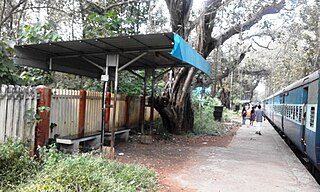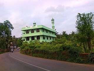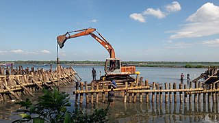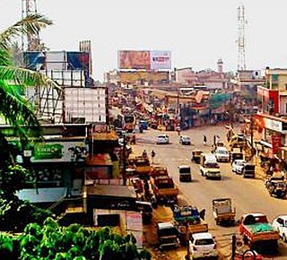
Thunchan Parambu is a village in Tirur, Kerala, South India. It is 2 km south west of Tirur railway station and 28 km west of the District Headquarters city. It is a residential area.
Cheriyamundam is a village and Grama Panchayat in Kerala, India. It covers an area of 11.95 km2 and includes 25,760 (1991) inhabitants. It lies near the Tirur River.
Pariapuram is a dhesam situated near Angadipuram village of the Malappuram District of Kerala in the country of India. The nearest town is Perintalmanna.

Cherukara is a village in Malappuram in the Indian state of Kerala. The nearest city is Perinthalmanna which is about 6 kilometres (3.7 mi) away.
Ananthavoor is a village in Tirur Thaluk Malappuram District of the state of Kerala, India.

Keezhattur is a village in Malappuram district in the state of Kerala, India. Poonthanam illam, the birthplace of "bhakthakavi" Poonthanam namboothiri, famous ancient Malayalam poet, is located here. The poonthanam illam is now a popular cultural centre. Keezhattur is a moderately large panchayat.The major place in keezhattur panchayat is kizhattur.'kizhattur pooram' is the major festival in keezhattur. Its administrative offices are located in Akkaparambu, which is about 12 km away from Perinthalmanna, the largest city of Malappuram district.

Ponmundam is a census town in the Malappuram district of Kerala state in India. The Malappuram-Tirur state highway passes through this area. This was a part of the Kingdom of Tanur (Vettathunad) in medieval times.

Purathur is a sandy coastal village and a Grama Panchayat in Tirur Taluk, Malappuram district in the state of Kerala, India. Bharathappuzha river and Tirur River merges together in Purathur and join with the Arabian Sea at Padinjarekara Azhimukham, which is also the southernmost tip of Purathur Gram panchayat. Opposite to Padinjarekara Azhimukham is Ponnani port. The village is located at the southernmost tip of Tirur Taluk and is bordered by historically important Ponnani port in Ponnani Municipality of Ponnani taluk to south.
Thalakkad is a census town in Malappuram district in the state of Kerala, India.
Vadakkangara is a village in Malappuram district in the state of Kerala, India.
Vailathur is a town 4 km from Tirur on the way to Malappuram and it is a junction turning to Valancheri and Malappuram. It also has a road to Tanur in the west side. Vailathur is a ward of Tanur Block Panchayat.
Valapuram is a small village which exists as a part of Kuruvambalam village. It is in Pulamanthole grama panchayath of Malappuram District, Kerala. It is situated on the banks of the Kunthipuzha River. The river separates Malappuram and Palakkad districts. 41 people were martyred from Valapuram and Kuruvambalam regions in the Wagon Massacre, also known as the Wagon tragedy which was part of the Malabar rebellion of 1921.The nearest towns are Perinthalmanna(18 km), Valanchery (16 km), Pattambi (17 km), Pulamanthol (6 km), and Kulathur (5 km).
Vadakkuparamba is a small village in Anakkayam panchayat, in the Malappuram District of Kerala, India. Nearby cities are Pandikkad (5 km) and Manjeri (10 km). A meander of the Kadalundi River surrounds the village.

Alathiyur is a village in the Tirur taluk of Malappuram district, and a growing suburban area of Tirur Town Kerala, India. Alathiyur is located 6 km south of Tirur on the road towards Ponnani. Govinda Bhattathiri, a legendary figure in the Kerala astrological tradition, was born in this village in 1237 CE.

Puthanathani is a census town in Malappuram district in the state of Kerala, India. and forms a part of Malappuram metropolitan area. It is also one of the major commercial towns under the Malappuram urban agglomeration. The town lies on the National Highway 66 (India), between Kottakkal and Valanchery. Roads to Vailathur and Thirunavaya also can be seen in Puthanathani.
Narukara is a location in Manjeri Municipality near Manjeri in Malappuram district of Kerala State of south India.

Kuttippala is a village in Malappuram district of Kerala which is situated 8 km (5 mi) from Tirur on the way to Kottakkal and is a junction which leads to Kurukkol and Kozhichena.
Paravakkal is a town in the Kadungapuram village of the Puzhakkattiri panchayath, located in the Malappuram district, in the state of Kerala, southeast India. It was the homeland of Valluvanad, an erstwhile kingdom in Malabar. Perinthalmanna, Malappuram, and Kottakkal are some of the major towns nearby.
Cholakkulam is a village in Malappuram district of Kerala. It is situated in Melattur. The name Cholakkulam came from the Malayalam words 'Chola' (Stream), 'Kulam' (Pond); i.e., 'Place where is pond with stream'. The village is well connected to Perinthalmanna (17 km), Mannarkkad (24 km), Manjeri (23 km) and Karuvarakundu (11 km). The shortest route connecting Kozhikode with Palakkad passes through this village.

Athavanad is a village and Grama Panchayat in the Malappuram district, the Indian state of Kerala.


