Seward is a neighborhood in the Longfellow community of Minneapolis, Minnesota, located geographically southeast of downtown. It consists of the land bordered by the Hiawatha Avenue industrial district to the west, Minneapolis Midtown Greenway to the south, the Mississippi River to the east, and Interstate 94 to the north.

Holland is a neighborhood in the Northeast community in Minneapolis. It is one of ten neighborhoods in Ward 1 of Minneapolis, currently represented by Council President Elliott Payne.

The Central neighborhood of Minneapolis, Minnesota, United States is located south of the downtown region of the city. It is bounded by Lake Street on the north, Chicago Avenue on the east, 38th Street on the south, and Interstate 35W on the west. It should not be confused with the Central community, which covers Downtown and some surrounding neighborhoods.

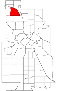
The Victory neighborhood is located within the Camden community of Minneapolis. It is bordered by the Humboldt Industrial Area on the north, Penn Avenue on the east, Dowling Avenue on the south, and the town of Robbinsdale on the west. It is located in Ward 4, represented by council member LaTrisha Vetaw.

Camden is a community in Minneapolis, covering the upper half of the north side. Its boundaries are 53rd Avenue North to the north, the Mississippi River to the east, Lowry Avenue North to the south, and Xerxes Avenue North to the west. It is located in Ward 4 of the Minneapolis City Council, represented by council member LaTrisha Vetaw.
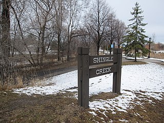
Shingle Creek is a neighborhood within the Camden community in the U.S. city of Minneapolis. Located in the far northwestern corner of the city, the neighborhood is named after the creek that runs through it.

Lind-Bohanon is a northern neighborhood within the Camden community in Minneapolis. It is located in Ward 4, represented by council member LaTrisha Vetaw.
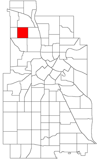
Folwell is a neighborhood in the U.S. city of Minneapolis on its northside that is bound by Dowling Avenue to the north, Dupont Avenue North to the east, Lowry Avenue North to the south, and Penn Avenue North to the west. It is part of the larger Camden community. It is located in Ward 4, represented by council member LaTrisha Vetaw.

Lyndale is a neighborhood within the Powderhorn community in south Minneapolis, Minnesota, United States. Its boundaries are Lake Street to the north, Interstate 35W to the east, 36th Street to the south and Lyndale Avenue South to the west.
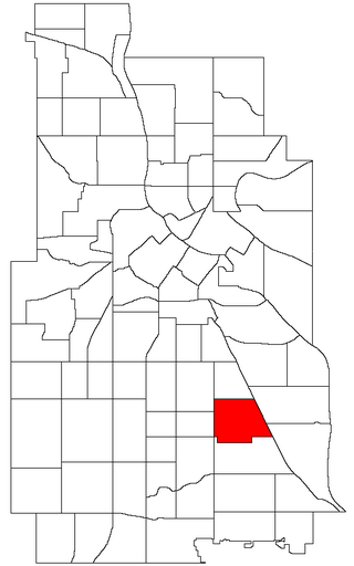
Standish is a neighborhood within the Powderhorn community in Minneapolis, Minnesota, United States named after Captain Miles Standish. Its boundaries are East 36th Street to the north, Hiawatha Avenue to the east, East 42nd and 43rd Streets to the south, and Cedar Avenue to the west.

Bottineau is a neighborhood in the Northeast community of Minneapolis. It is one of ten neighborhoods in Ward 1 of Minneapolis, currently represented by Council President Elliott Payne.

Cleveland is a neighborhood in the Camden community in Minneapolis. It is located in Ward 4, represented by council member LaTrisha Vetaw. Its boundaries are Dowling Avenue to the north, Penn Avenue North to the east, Lowry Avenue north to the south, and Xerxes Avenue North to the west. To the west of Xerxes Avenue is the suburb of Robbinsdale.
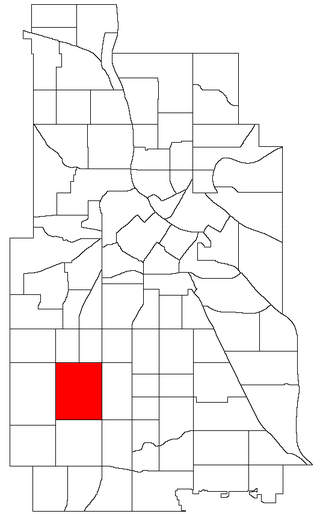
East Harriet is a neighborhood in the Southwest community in Minneapolis. Its boundaries are West 36th Street to the north, Lyndale Avenue South to the east, West 46th Street to the south, and Lake Harriet, Lakewood Cemetery, and William Berry Parkway to the west.

Jordan is a neighborhood in the Near North community in Minneapolis. Its boundaries are Lowry Avenue North to the north, Emerson Avenue North to the east, and West Broadway to the south and west.
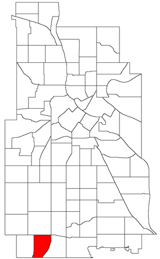
Kenny is a neighborhood in the Southwest community in Minneapolis. Its boundaries are West 54th Street to the north, Lyndale Avenue South and Highway 121 to the east, West 62nd Street to the south, and Logan Avenue South to the west. Kenny is a part of Ward 13, currently represented by Minneapolis City Council member Linea Palmisano.
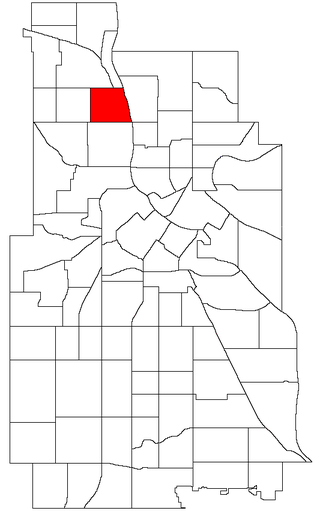
McKinley is a neighborhood in the Camden community of Minneapolis. It is bound to the north by Dowling Avenue North, to the south by Lowry Avenue North, to the west by Dupont Avenue North, and to the east by the Mississippi River. It is part of the larger and located in Ward 4, represented by council member LaTrisha Vetaw.

Morris Park is a neighborhood in the Nokomis community in Minneapolis, Minnesota. Its boundaries are 54th Street to the north, 46th Avenue to the east, the Twin Cities Air Force Base to the south, and 34th Avenue to the west. It is located in Ward 12 of the Minneapolis City Council, currently represented by council member Aurin Chowdhury.

Logan Park is a neighborhood in the Northeast community in Minneapolis. It is one of ten neighborhoods in Ward 1 of Minneapolis, currently represented by Council President Elliott Payne.

Northeast Park is a neighborhood in the Northeast community in Minneapolis, Minnesota. Its boundaries are 18th Avenue NE and New Brighton Boulevard to the north, the city limits to the northeast, Interstate 35W to the southeast, Broadway Street NE to the south, and Central Avenue to the west. It is one of ten neighborhoods in Ward 1 of Minneapolis, currently represented by Council President Elliott Payne.

Corcoran is a neighborhood within the Powderhorn community in Minneapolis, Minnesota, United States. The neighborhood is bordered by Longfellow and Howe neighborhoods to the east, Phillips to the north, Powderhorn Park to the west and Standish to the south. Its official boundaries are East Lake Street to the north, Hiawatha Avenue to the east, East 36th Street to the south, and Cedar Avenue to the west. It is entirely located within Minneapolis City Council Ward 9, represented by Jason Chavez.
