Transport in Estonia relies mainly on road and rail networks.

Tallinna JK Dünamo is an Estonian football club based in Tallinn. As of 2021, the club played in the III Liiga, the fifth level of Estonian Football, having last played in the Estonian top tier in 2005.

The Kopli cemetery was Estonia's largest Lutheran Baltic German cemetery, located in the suburb of Kopli in Tallinn. It contained thousands of graves of prominent citizens of Tallinn and stood from 1774 to shortly after World War II, when it was completely flattened and destroyed by the Soviet occupation authorities governing the country at the time. The former cemetery is now a public park.
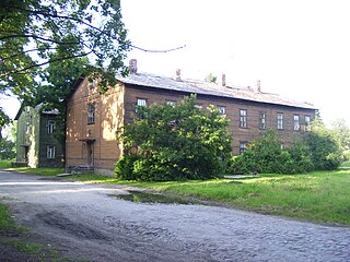
Kopli is a subdistrict of the district of Põhja-Tallinn in Tallinn, the capital of Estonia. It is located on the Kopli Peninsula and is bordered by parts of the Tallinn Bay, the Kopli Bay to the southwest and the Paljassaare Bay to the north. Kopli has a population of 7,240. Kopli's former German name until 1918 was Ziegelskoppel.

Haabersti is one of the 8 administrative districts of Tallinn, the capital of Estonia.

Mõigu cemetery was a large Baltic German cemetery, located in the Tallinn suburb of Mõigu in Estonia. It served as the primary burial ground for the usually wealthy and noble citizens of the Toompea parish of Tallinn. Containing numerous graves, it stood for over 170 years from 1774 to shortly after World War II when it was completely flattened and destroyed by the Soviet occupation authorities governing the country at that time.

Põhja-Tallinn is one of the eight administrative districts of Tallinn, the capital of Estonia.
The Kalamaja cemetery, in Tallinn in Estonia was once the city's oldest existing cemetery, located in the suburb of Kalamaja in the north of the city. It contained thousands of graves of ethnic Estonian and Swedish residents of Tallinn and stood for at least 400 years, from the 15th or 16th century to 1964 when it was completely flattened and destroyed by the Soviet occupation authorities governing the country at that time. The former cemetery is now a public park: "Kalamaja kalmistupark".

Karjamaa is a subdistrict in the district of Põhja-Tallinn, Tallinn, the capital of Estonia. It's located northwest of Kalamaja and east of Sitsi, main part is between Kopli, Tööstuse and Erika streets. Karjamaa also includes the Hundipea area and the Mine Harbour (Miinisadam) by the Tallinn Bay. Karjamaa has a population of 5,314.

Paljassaare is the name of the Paljassaare Peninsula in the Tallinn Bay, and the name of a subdistrict in the district of Põhja-Tallinn in the city of Tallinn, the capital of Estonia. The subdistrict is located on the peninsula.

Pelguranna is a subdistrict in the district of Põhja-Tallinn in Tallinn, the capital of Estonia. It is located between Pelgulinn, Kopli and Sitsi and is bordered with the Stroomi Beach by the Kopli Bay to the west, and the Merimets forest park to the south. Houses there mostly consist of 4-9 floor apartment buildings. Pelguranna has a population of 15,142.
1994–95 Estonian Cup was the fifth season of the Estonian football knockout tournament.

Estonian Maritime Academy of Tallinn University of Technology is a vocational university in Estonia. It is one of the schools of Tallinn University of Technology and it is the only educational institution in Estonia that offers professional higher education, Master’s and Doctoral level education in the maritime field. The university is located in the capital Tallinn but also has two centres in Saaremaa. In addition to higher education, the school contributes to research, provides training and offers services. The Academy also holds a one of a kind Simulator Centre and has a whole dedicated floor of hi-tech laboratories.
Liivakari is an island belonging to the country of Estonia.Liivakari is located next to Kakumäe.

Karl Tarvas was an Estonian architect. Karl Tarvas graduated as an architect from Riga Polytechnic Institute in 1915.
The following is a timeline of the history of the city of Tallinn, Estonia.

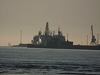
Tallinn Bay is a bay in Estonia on the southern coast of the Gulf of Finland. The Estonian capital city Tallinn is located on the southern coast of the bay.

The Tram System of Tallinn is the only tram system in Estonia. Together with the four-route trolleybus network (et), the four tram lines, with a total length of 19.7 km, are arranged in a roughly cross-shaped layout, providing a backbone for the public transport network in the Estonian capital. Four of the five routes meet up at the stop Hobujaama, in the city center. Trams are unidirectional, one-sided and single-person operated, and much of the network runs on segregated two-way track.
Port of Naissaar is a seaport situated on the eastern coast of Naissaar island, Viimsi Parish, Estonia, located in northern area of Tallinn Bay.

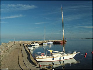
Port of Meeruse is a seaport situated on the southwestern coast of Kopli, Tallinn, Estonia, located in eastern area of Kopli Bay.