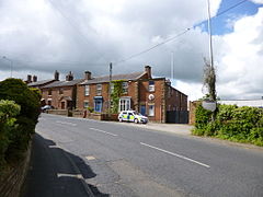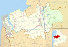
Catforth is a village in the English civil parish of Woodplumpton and the City of Preston district, in Lancashire, England. There is a village hall and the last remaining of Catforth's pubs, The Running Pump, is situated on Catforth Road, which is the village's main road. There is a Roman Catholic church and a primary school.
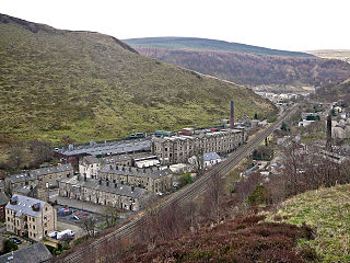
Cornholme is a village within the Metropolitan Borough of Calderdale, in West Yorkshire, England. It lies at the edge of Calderdale, on the boundary with Lancashire, and in the narrow Calder Valley about 2.5 miles (4 km) north-west of Todmorden. The village is close to the A646 Burnley Road.
Barnacre-with-Bonds is a civil parish in the Wyre district of Lancashire, England. According to the 2001 census it had a population of 1,751 increasing to 2,148 at the 2011 Census. The parish covers an area to the south and east of Garstang, including the settlements of Bonds, Calder Vale and Bowgreave.
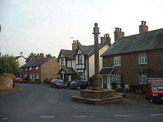
Kirkland is a civil parish, located on the banks of the River Wyre, midway between Preston and Lancaster, in the English county of Lancashire. It is also the historic name of what is now the village of Churchtown, within the parish. It is part of the Wyre district. In 2001 the parish had a population of 343, decreasing to 314 at the 2011 census.
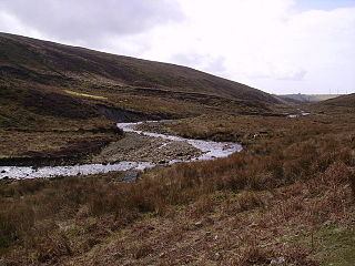
The River Calder is a 13-mile (21 km) long river that is one of the main tributaries of the River Wyre in Lancashire, England. Like the other rivers in England with the name Calder, its name is thought to derive from a mixture of Old Welsh and Old British words meaning "hard and violent water or stream".
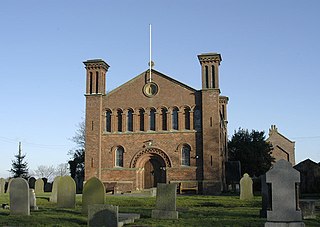
Out Rawcliffe is a village and civil parish on the north bank of the River Wyre in the Over Wyre area of the Fylde in Lancashire, England. The population of the civil parish taken at the 2011 census was 626.

Garstang and Catterall railway station served as the interchange between the Garstang and Knot-End Railway and the London and North Western Railway, in Lancashire, England. The station was in the parish of Barnacre-with-Bonds, close to the village of Catterall, adjacent to the Lancaster Canal, and opposite the Kenlis Arms Pub.

Catterall is a village and civil parish in the borough of Wyre, Lancashire, England. Historically in the Amounderness Hundred, it is situated on the A6 between Lancaster and Preston, a short distance from the town of Garstang, and Myerscough College. The rivers Wyre, Calder and Brock run through the parish and in places form the parish boundary.
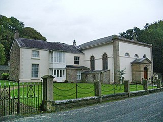
Claughton is a sparse village and civil parish in the county of Lancashire in the north of England, in the Borough of Wyre. The population of the civil parish at the 2011 census was 633. It is sometimes called Claughton-on-Brock to distinguish it from another Claughton in Lancashire in the Lune valley between Lancaster and Hornby.

Stalmine-with-Staynall is a civil parish within the Wyre borough of Lancashire, England, in a part of the Fylde known as Over Wyre. The parish contains the village of Stalmine and the hamlets of Staynall and Wardley. The civil parish had a population of 1,486 at the 2011 Census, of which 1,087 lived in Stalmine village.

Bonds is a village in Lancashire, England. It lies immediately south of Garstang town centre, on the opposite bank of the River Wyre. It is bounded by the Lancaster Canal to the south and west. Garstang, Bonds, Bowgreave and Catterall form an almost continuous built-up area, which was bypassed by the A6 road in 1928.. While it is often regarded as a de facto suburb of Garstang, Bonds forms part of a different civil parish: Barnacre-with-Bonds.

Garstang is an ancient market town and civil parish within the Wyre borough of Lancashire, England. It is 10 miles (16 km) north of the city of Preston and the same distance south of Lancaster.

Pendleton is a small village and civil parish in Ribble Valley, within the county of Lancashire, England. It is close to the towns of Whalley and Clitheroe. The parish lies on the north west side of Pendle Hill below the Nick o' Pendle. The village is just off the A59, Liverpool to York main road, since the construction of the Clitheroe By-Pass. Older roads through the parish include one from Clitheroe to Whalley which passes through the Standen area and another to Burnley which passes Pendleton Hall.
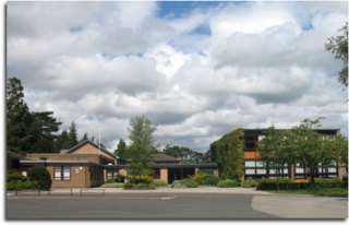
Garstang Community Academy is a secondary school with academy status in the parish of Barnacre-with-Bonds near Garstang in Lancashire, England. It is a coed institution serving children aged 11 to 16. It is non denominational, and non boarding. It opened on 21 October 1958.

The Church of St Mary and St Michael is in the village of Bonds, to the south of Garstang, Lancashire, England. It is an active Roman Catholic church in the diocese of Lancaster. The church is recorded in the National Heritage List for England as a designated Grade II listed building.
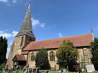
St Peter's Church is in the village of Scorton, Lancashire, England. It is an active Anglican parish church in the deanery of Garstang, the archdeaconry of Lancaster and the diocese of Blackburn. Its benefice is united with those of All Saints, Barnacre, and St John the Evangelist, Calder Vale. The church is recorded in the National Heritage List for England as a designated Grade II listed building. Its spire is a landmark near the M6 motorway.

All Saints Church is in Delph Lane, Barnacre-with-Bonds, Lancashire, England. It is an active Anglican parish church in the deanery of Garstang, the archdeaconry of Lancaster, and the diocese of Blackburn. Its benefice is united with those of St Peter, Scorton, and St John the Evangelist, Calder Vale. The church is recorded in the National Heritage List for England as a designated Grade II listed building.

Upper Rawcliffe-with-Tarnacre is a civil parish on the Fylde, in the Borough of Wyre, in Lancashire, England. It had a population of 604 in 2001, increasing to 629 at the 2011 Census. The only settlements in the parish are the village of St Michael's on Wyre and the tiny hamlet of Ratten Row. The River Wyre passes through the parish, and the River Brock joins the Wyre on the parish boundary.
Barnacre-with-Bonds is a civil parish in the Wyre district of Lancashire, England. It contains 24 listed buildings that are recorded in the National Heritage List for England. All the listed buildings are designated at Grade II, the lowest of the three grades, which is applied to "buildings of national importance and special interest". The parish contains the settlements of Bonds, Calder Vale, and Bowgreave and is otherwise rural. The Lancaster Canal, the River Wyre and its tributary the River Calder pass through the parish and many of the bridges crossing them are listed. Also listed is the aqueduct carrying the canal over the River Wyre. The other listed buildings include farmhouses and other houses, churches, a Quaker meeting house, a former sawmill, a milestone, and a pump in a farmyard,
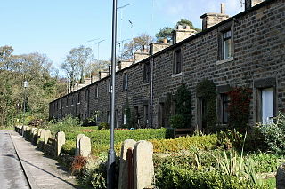
Richard Jackson was an English Quaker minister who, with his brother Jonathan, founded the English village of Calder Vale, Lancashire.
