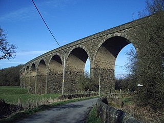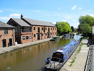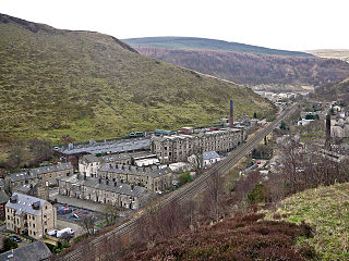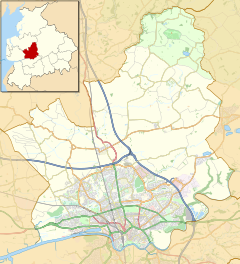
Read is a village in Lancashire 5 miles west northwest of Burnley and 2 miles east of Whalley. It is on the A671 which is the main road between Burnley and Clitheroe. The population of the civil parish as taken at the 2011 census was 1,419.

Burscough is a town and civil parish in the district of West Lancashire, Lancashire, England. The town is located approximately 14 miles (23 km) north-northeast of Liverpool and 13 miles (21 km) southwest of Preston. Its northern part is called Burscough Bridge, and was originally a separate settlement.

Cornholme is a village in the market town of Todmorden, in the metropolitan borough of Calderdale, in West Yorkshire, England. It lies at the edge of Calderdale, on the boundary with Lancashire, and in the narrow Calder Valley about 2.5 miles (4 km) north-west of Todmorden. The village is close to the A646 Burnley Road.

Woodplumpton is a village and civil parish in the City of Preston, Lancashire, England, located 5 miles (8 km) north of Preston.

Broughton is a village and civil parish in the City of Preston, Lancashire, England, approximately 4 miles (6 km) north of Preston city centre. According to the 2001 census it had a population of 1,735, decreasing to 1,722 at the 2011 Census, increasing to 2,467 at the 2021. The parish is included in Preston Rural East ward of Preston city council, and the Preston Rural division of Lancashire County council.

Holmeswood is a small agricultural village in West Lancashire, in the north-west of England. It lies just north of the Martin Mere Wetland Centre and to the south of North Meols about six miles east of the Irish Sea coast at Southport.

Wrightington Bar is a small linear village in West Lancashire, England. It is on the B5250 Appley Bridge to Eccleston road, and is in the civil parish of Wrightington.

Inskip is a small village in the Fylde area of Lancashire, England. It is part of the civil parish of Inskip-with-Sowerby. The village is close to the former RNAS Inskip airfield, which still serves the armed forces as a tri-service communication centre.
Preston Fishergate Hill was a railway station at the bottom of Fishergate Hill in Preston. It formed the northeastern terminus of the West Lancashire Railway which built a direct railway link between Southport and Preston. The station was also known as Preston West Lancashire Station.

Bowgreave is a village in the parish of Barnacre-with-Bonds, Lancashire, England. Its nearest town is Garstang, a mile to the north.

Eaves is a hamlet in Lancashire, England, six miles north of Preston. It is part of the Fylde, a flat area of land between the Forest of Bowland and the Lancashire coast. The village has a school, St. Mary and St. Andrew's Catholic Primary School, and a pub, the Plough at Eaves, which is the oldest in the Fylde. It was originally called the Cheadle Plough Inn.

Pendleton is a small village and civil parish in Ribble Valley, within the county of Lancashire, England. It is close to the towns of Whalley and Clitheroe. The parish lies on the north west side of Pendle Hill below the Nick o' Pendle. The village is just off the A59, Liverpool to York main road, since the construction of the Clitheroe By-Pass. Older roads through the parish include one from Clitheroe to Whalley which passes through the Standen area and another to Burnley which passes Pendleton Hall.

Preston Rural North is an electoral ward in the City of Preston, Lancashire, England. The ward is the largest by area in the city, containing the smaller and smallest villages from the northern areas of Preston, from Woodplumpton bordering the M55 motorway junction at Broughton, to Beacon Fell at the border of the borough of Wyre.

Ingol is an electoral ward and suburb of Preston, Lancashire, England. The population of the Ward as taken at the 2011 census was 7,369. The ward also includes the district of Tanterton. The ward is coterminous with the civil parish of Ingol and Tanterton, created in 2012.

Inskip-with-Sowerby is a civil parish in the Borough of Wyre, in Lancashire, England. A part of the Fylde, the parish includes the village of Inskip and the hamlets Crossmoor to the west and Sowerby to the east. Also Inskip Moss Side lies about a mile north-west of the village at grid reference SD452391. In 2011 it had a population of 840.

The City of Preston, or simply Preston, is a local government district with city status in Lancashire, England. It lies on the north bank of the River Ribble and has a population of 151,582 (2022). The neighbouring districts are Ribble Valley, South Ribble, Fylde and Wyre.
Woodplumpton is a civil parish in the City of Preston, Lancashire, England. It contains 20 listed buildings that are recorded in the National Heritage List for England. Of these, one is at Grade II*, the middle grade, and the others are at Grade II, the lowest grade. The parish contains the villages of Woodplumpton and Catforth, and the smaller settlements of Eaves and Lower Bartle, but is otherwise rural. The Lancaster Canal passes through the parish, and three bridges crossing it are listed. The oldest building in the parish is St Anne's Church; this and four structures associated with it, or nearby, are listed. The other listed buildings are houses and associated structures, farmhouses, and farm buildings.

Cocker Bar railway station was located in what is still open country where Cocker Bar Road (B5248) crosses what is now the Ormskirk Branch Line.

Kimberley Barracks is a military installation on Deepdale Road in Preston in Lancashire, England PR1 6PR.
Euxton was an early railway station serving Euxton in Chorley, Lancashire, England.


