Tawatinaw is a hamlet in Alberta, Canada within Westlock County. It is located on Township Road 614, 2 kilometres (1.2 mi) east of Highway 2 and approximately 70 kilometres (43 mi) north of the City of Edmonton.

Drayton Valley is a town in central Alberta, Canada. It is located on Highway 22, approximately 133 kilometres (83 mi) southwest of Edmonton. It is surrounded by Brazeau County, known for its vast oil fields. The town is located between the North Saskatchewan River and the Pembina River.

Birch Hills County is a municipal district in north-western Alberta, Canada. It is located in Census Division 19, northeast of Grande Prairie.
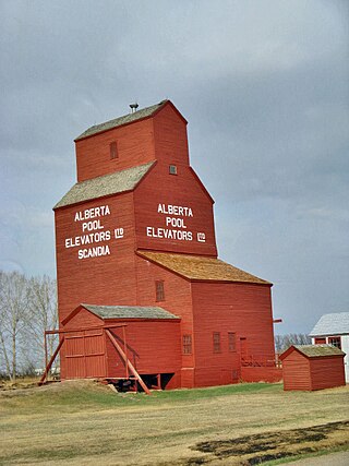
The County of Newell is a municipal district in southern Alberta, Canada. Located in Census Division No. 2, its municipal office is located south of the City of Brooks.

Acadia Valley is a hamlet in southeast Alberta, Canada within the Municipal District (MD) of Acadia No. 34. The MD of Acadia No. 34's municipal office is located in Acadia Valley.

Kannata Valley is a resort village in the Canadian province of Saskatchewan within Census Division No. 6. It is on the shores of Last Mountain Lake in the Rural Municipality of Longlaketon No. 219. It is approximately 52 km (32 mi) northwest of Regina.
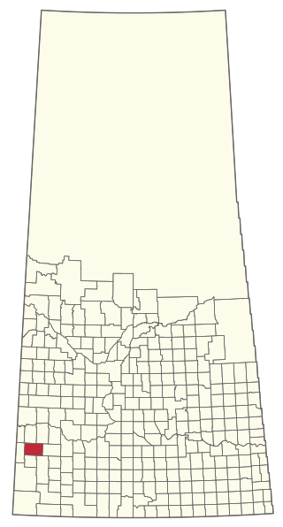
The Rural Municipality of Fox Valley No. 171 is a rural municipality (RM) in the Canadian province of Saskatchewan within Census Division No. 8 and SARM Division No. 3.

Stewart Valley is a village in the Canadian province of Saskatchewan within the Rural Municipality of Saskatchewan Landing No. 167 and Census Division No. 8. It is on Highway 4, just south of the South Saskatchewan River, approximately 35 km (22 mi) north of the City of Swift Current in southern Saskatchewan. It is along the remains of the historic Swift Current-Battleford Trail.

The Rural Municipality of White Valley No. 49 is a rural municipality (RM) in the Canadian province of Saskatchewan within Census Division No. 4 and SARM Division No. 3. It is located in the southwest portion of the province near Eastend.

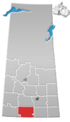
The Rural Municipality of Piapot No. 110 is a rural municipality (RM) in the Canadian province of Saskatchewan within Census Division No. 4 and SARM Division No. 3. It is located in the southwest portion of the province.
Duval is a village in the Canadian province of Saskatchewan within the Rural Municipality of Last Mountain Valley No. 250 and Census Division No. 11. The village is located on Highway 20 approximately 93 km north of the City of Regina.
Islay is a hamlet in central Alberta, Canada within the County of Vermilion River. Previously an incorporated municipality, Islay dissolved from village status on March 15, 1944, to become part of the Municipal District of Vermilion Valley No. 482. The community was named after Islay, in Scotland, the ancestral home of pioneer settlers.
Linn Valley is a hamlet in central Alberta, Canada within Red Deer County. It is located on Highway 11A, approximately 7 kilometres (4.3 mi) northwest of Red Deer.

The Rural Municipality of Surprise Valley No. 9 is a rural municipality (RM) in the Canadian province of Saskatchewan within Census Division No. 2 and SARM Division No. 2. Located in the southeast portion of the province, it is adjacent to the United States border, neighbouring Sheridan County in Montana.
Tugaske is a village in the Canadian province of Saskatchewan within the Rural Municipality of Huron No. 223 and Census Division No. 7. It is nicknamed Gateway to Lake Diefenbaker. It is near Eyebrow Lake, a prairie lake in the Qu'Appelle Valley. It was named after an eyebrow-shaped hill also in the Qu'Appelle Valley above Eyebrow Lake. The lake, which is 9 km long and 1 km wide, is a bird sanctuary and is near Highway 627.

The Rural Municipality of Happy Valley No. 10 is a rural municipality (RM) in the Canadian province of Saskatchewan within Census Division No. 2 and SARM Division No. 2. Located in the southeast portion of the province, it is adjacent to the United States border, neighbouring Daniels County and Sheridan County in Montana.
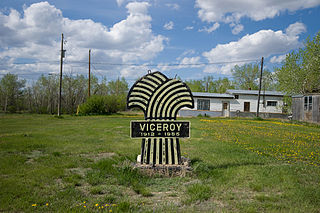
The Rural Municipality of Excel No. 71 is a rural municipality (RM) in the Canadian province of Saskatchewan within Census Division No. 3 and SARM Division No. 2. It is located in the south-central portion of the province.

The Rural Municipality of Pleasant Valley No. 288 is a rural municipality (RM) in the Canadian province of Saskatchewan within Census Division No. 12 and SARM Division No. 6.

The Rural Municipality of Round Valley No. 410 is a rural municipality (RM) in the Canadian province of Saskatchewan within Census Division No. 13 and SARM Division No. 6.
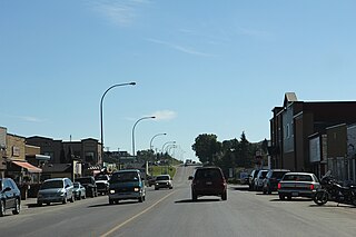
Diamond Valley is a town in the Calgary Metropolitan Region of Alberta, Canada within Foothills County. It is at the intersection of Highway 22 and Highway 7. It was established through the provincially approved amalgamation of the former towns of Black Diamond and Turner Valley on January 1, 2023.


