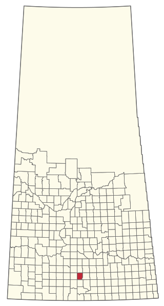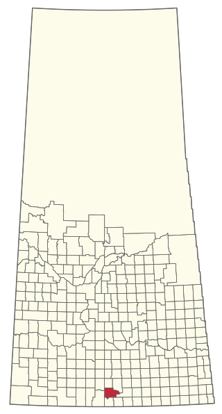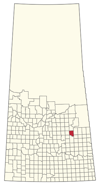
Aneroid is a special service area in the Rural Municipality of Auvergne No. 76 in southwestern Saskatchewan, Canada. The community is located approximately 70 km southeast of Swift Current at the intersection of Highway 13 and Highway 612.
Fife Lake is a hamlet located between Coronach and Rockglen within Rural Municipality of Poplar Valley No. 12 in south-central Saskatchewan, Canada near the border with the United States. Approximately 40 people inhabited the village of Fife Lake in 2006. It is about 11 kilometres (6.8 mi) east of Rockin Beach Park and Fife Lake.

Division No. 3 is one of eighteen census divisions in the province of Saskatchewan, Canada, as defined by Statistics Canada. It is located in the south-southwestern part of the province, adjacent to the border with Montana, United States. The most populous community in this division is Assiniboia.

The Rural Municipality of Meadow Lake No. 588 is a rural municipality (RM) in the Canadian province of Saskatchewan within Census Division No. 17 and SARM Division No. 6.

Girvin is a former village of 20 people in Saskatchewan, Canada. It is located midway between Regina and Saskatoon on Highway 11 between the towns of Davidson and Craik. The village was formally dissolved in 2005; its remaining population is now counted as part of the rural municipality of Arm River.
Expanse, Saskatchewan is an unincorporated area in the Rural Municipality of Lake Johnston No. 102, in the Canadian province of Saskatchewan. Expanse is just south of Old Wives Lake on a grid road. The grid connects to Highway 2 near Ardill in south central Saskatchewan. Just to the south of Highway 2 is Lake of the Rivers. Expanse is too small to be enumerated as a separate entity during the census taking, so it was a part of the population given for RM of Lake Johnston No. 102.
McLean is a village in the Canadian province of Saskatchewan within the Rural Municipality of South Qu'Appelle No. 157 and Census Division No. 6. It is on Highway 1 between Qu'Appelle and Balgonie. The village of McLean is located in South Central Saskatchewan on the Trans-Canada Highway and is the highest point on the Canadian Pacific Railway mainline east of the Rockies. It is about 37 kilometres (23 mi) east of the Regina. The population of McLean is 405.

Penzance is a special service area in the Rural Municipality of Sarnia No. 221, in the Canadian province of Saskatchewan. It held village status prior to January 31, 2008. The community is located 88 km north of the City of Moose Jaw on Highway 2. Penzance was named after the original Penzance, in Cornwall, England.

The Rural Municipality of Lake Alma No. 8 is a rural municipality (RM) in the Canadian province of Saskatchewan within Census Division No. 2 and SARM Division No. 2. Located in the southeast portion of the province, it is adjacent to the United States border, neighbouring Sheridan County in Montana and Divide County in North Dakota.
Tantallon is a village in the Canadian province of Saskatchewan within the Rural Municipality of Spy Hill No. 152 and Census Division No. 5. It is in the Qu'Appelle Valley along the Qu'Appelle River about 39 km east of Round Lake (Saskatchewan). The community celebrated its centennial in 2004.

Sunset View Beach is an organized hamlet in the Canadian province of Saskatchewan within the RM of Mervin No. 499 and Census Division No. 17. Part of the RM of Parkdale No. 498 prior to September 1992, it subsequently held resort village status until it dissolved to become part of the RM of Mervin No. 499 in January 2015. Sunset View Beach is on the southeast shore of Turtle Lake, approximately 43 kilometres (27 mi) northeast of the town of Turtleford and 102 kilometres (63 mi) north of the city of North Battleford.
Weyakwin is a northern hamlet in the Canadian province of Saskatchewan. It is situated along Highway 2 on the south bank of Weyakwin River. The Weyakwin River flows from Weyakwin Lake east to Montreal Lake.

The Rural Municipality of Lake Johnston No. 102 is a rural municipality (RM) in the Canadian province of Saskatchewan within Census Division No. 3 and SARM Division No. 2. Located in the southwest portion of the province, it is north of the town of Assiniboia and south of the city of Moose Jaw.

The Rural Municipality of Willow Bunch No. 42 is a rural municipality (RM) in the Canadian province of Saskatchewan within Census Division No. 3 and SARM Division No. 2. It is located in the south central portion of the province.

The Rural Municipality of Moose Mountain No. 63 is a rural municipality (RM) in the Canadian province of Saskatchewan within Census Division No. 1 and SARM Division No. 1. It is located in the south-east portion of the province.

The Rural Municipality of Sasman No. 336 is a rural municipality (RM) in the Canadian province of Saskatchewan within Census Division No. 10 and SARM Division No. 4.
Mitchellton is a hamlet in Lake Johnston Rural Municipality No. 102, Saskatchewan, Canada. It previously held the status of a village until January 1, 1939.


