Related Research Articles

Leduc is a city in the province of Alberta, Canada. It is 33 km (21 mi) south of the provincial capital of Edmonton and is part of the Edmonton Metropolitan Region.
Airdrie is a city in Alberta, Canada, within the Calgary Region and the Calgary Metropolitan Area, It is located north of Calgary within the Calgary–Edmonton Corridor at the intersection of Queen Elizabeth II Highway and Highway 567.
Brooks is a city in southeast Alberta, Canada in the County of Newell. It is on Highway 1 and the Canadian Pacific Kansas City railway, approximately 186 km (116 mi) southeast of Calgary, and 110 km (68 mi) northwest of Medicine Hat. The city has an elevation of 760 m (2,490 ft).

Stony Plain is a town in the Edmonton Metropolitan Region of Alberta, Canada that is surrounded by Parkland County. It is west of Edmonton adjacent to the City of Spruce Grove and sits on Treaty 6 land.

Strathmore is a town located in southern Alberta, Canada that is surrounded by Wheatland County. It is along the Trans-Canada Highway approximately 50 kilometres (30 mi) east of Calgary.

Lacombe is a city in central Alberta, Canada. It is located approximately 25 kilometres (16 mi) north of Red Deer, the nearest major city, and 125 kilometres (78 mi) south of Edmonton, the nearest metropolitan area. The city is set in the rolling parkland of central Alberta, between the Rocky Mountains foothills to the west and the flatter Alberta prairie to the east.
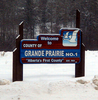
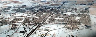
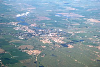
The County of Grande Prairie No. 1 is a municipal district in northwestern Alberta, Canada in Census Division No. 19.
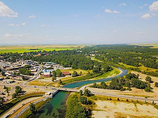
High River is a town within the Calgary Metropolitan Region of Alberta, Canada. It is approximately 68 kilometres (42 mi) south of Calgary, at the junction of Alberta Highways 2 and 23. High River had a population of 14,324 in 2021.

The Municipal District of Acadia No. 34 is a municipal district (MD) in southern Alberta, Canada, east of Calgary, close to the Saskatchewan border, in Census Division No. 4.
Statistics Canada conducts a national census of population and census of agriculture every five years and releases the data with a two-year lag.
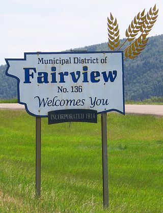
The Municipal District of Fairview No. 136 is a municipal district (MD) in northwestern Alberta, Canada. It is located in Census Division 19.

The Municipal District of Peace No. 135 is a municipal district (MD) in northwestern Alberta, Canada. Located in Census Division No. 19, its municipal office is located outside but adjacent to the Village of Berwyn.
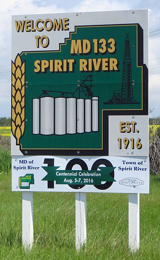
The Municipal District of Spirit River No. 133 is a municipal district (MD) in northwest Alberta, Canada, north of Grande Prairie. Located in the Upper Peace Region, its municipal office is located in the Town of Spirit River. With an area of 683.6 km2 (263.9 sq mi), it is the smallest municipal district in Alberta.
Loverna is an unincorporated hamlet in Antelope Park Rural Municipality No. 322, Saskatchewan, Canada. The population of Loverna was 5 at the 2001 Canada Census. The hamlet is approximately 50 km northwest of the Town of Kindersley at the intersection of Highway 772 and Range road 290. The Grand Trunk Pacific played a big role in the town's economy when it was completed in 1913 on its way from Biggar, SK to Hemaruka, AB. The line was planned as a thorough route, however the planned connection to another line under construction at the time to Spondin, AB was never finished. The track was lightly built and poorly maintained and so could only support boxcars and lightweight hopper cars for grain loading. As well the line was restricted to special lightweight GMD-1 locomotives. During the drastic closure of uneconomic branch lines in the late 1970s and '80s the tracks west from Smiley through Loverna were closed. The Canadian Pacific Railway took over operation of the remaining track from a connection on their line at Dodsland to Smiley. This too was closed in 1996, and Loverna's population has since declined.

In the 2021 Census, the City of Calgary had a population of 1,306,784 residents, representing 30.7% of the 4,262,635 residents in all of Alberta, and 3.5% compared to a population of 36,991,981 in all of Canada. The total population of the Calgary census metropolitan area (CMA) was 1,481,806. Calgary is the largest city in Alberta, and the third-largest municipality and fifth-largest metropolitan area in Canada, as of 2021.
The Canada 1921 census was a detailed enumeration of the Canadian population. The census count was taken as at June 1, 1921. The total population count was 8,788,483 representing a 22% increase over the 1911 census population count of 7,206,643. The 1921 census was the sixth comprehensive decennial census since Canadian Confederation on July 1, 1867. The previous census was the Northwest Provinces of Alberta, Saskatchewan, and Manitoba 1916 census and the following census was the Northwest Provinces of Alberta, Saskatchewan, and Manitoba 1926 census.
The 1916 Canadian census was the second of a series of special censuses conducted by the Government of Canada covering the rapidly expanding Northwest Provinces of Alberta, Saskatchewan, and Manitoba. These censuses were conducted every ten years from 1906 to 1946. This census was conducted as at June 1, 1916.
The 1936 Canadian census was the fourth of a series of special censuses conducted by the Government of Canada covering the rapidly expanding Northwest Provinces of Alberta, Saskatchewan, and Manitoba. These censuses were conducted every ten years from 1906 to 1946. This census was conducted as at June 1, 1936.
The 1946 Canadian census was the fifth, and last, of a series of special censuses conducted by the Government of Canada covering the rapidly expanding Northwest Provinces of Alberta, Saskatchewan, and Manitoba. These censuses were conducted every ten years from 1906 to 1946, and ceased when the nationwide census switched from decennial to quinquennial in 1956. This census was conducted as of June 1, 1946.
The 1951 Canadian census was a detailed enumeration of the Canadian population. The total population count was 14,009,429, representing a 21.8% increase over the 1941 census population count of 11,506,655. The 1951 census was the ninth comprehensive decennial census since Canadian Confederation on July 1, 1867.
References
- ↑ "Population of Canada and the provinces". Statistics Canada. Retrieved 23 October 2024.
- ↑ "After 1921". Library and Archives Canada. Retrieved 14 March 2015.
- ↑ "The 1926 Census of the Prairie Provinces database is now available!". Library and Archives Canada. 2019-02-26. Retrieved 2019-03-11.