The Rural Municipality of Sherwood No. 159 is a rural municipality (RM) in the Canadian province of Saskatchewan within Census Division No. 6 and SARM Division No. 2. In the south-central portion of the province, it surrounds the city of Regina, the provincial capital, and forms part of the Regina census metropolitan area.

The Rural Municipality of Craik No. 222 is a rural municipality (RM) in the Canadian province of Saskatchewan within Census Division No. 7 and SARM Division No. 2. The RM is centrally located between the cities of Regina and Saskatoon.

The Rural Municipality of Arm River No. 252 is a rural municipality (RM) in the Canadian province of Saskatchewan within Census Division No. 11 and SARM Division No. 5. It is located along Highway 11 between Saskatoon and Regina.

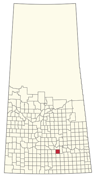
The Rural Municipality of Wreford No. 280 is a rural municipality (RM) in the Canadian province of Saskatchewan within Census Division No. 11 and SARM Division No. 5. Located in the south-central portion of the province, it is north of the city of Regina.

The Rural Municipality of Lumsden No. 189 is a rural municipality (RM) in the Canadian province of Saskatchewan within Census Division No. 6 and SARM Division No. 2. It is located in the south-east portion of the province.

The Rural Municipality of Wood Creek No. 281 is a rural municipality (RM) in the Canadian province of Saskatchewan within Census Division No. 11 and SARM Division No. 5. It is located in the south-central portion of the province.
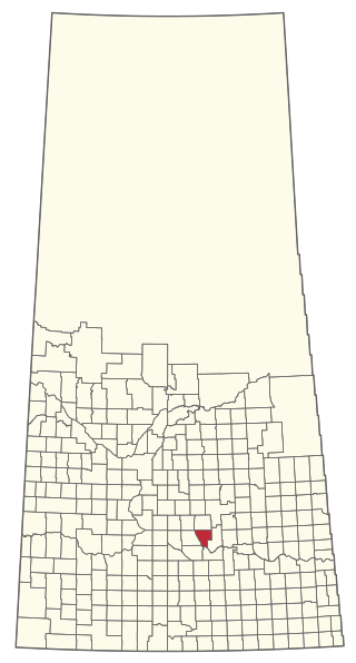
The Rural Municipality of McKillop No. 220 is a rural municipality (RM) in the Canadian province of Saskatchewan within Census Division No. 6 and SARM Division No. 2.

The Rural Municipality of Rosedale No. 283 is a rural municipality (RM) in the Canadian province of Saskatchewan within Census Division No. 11 and SARM Division No. 5. It is located in the central portion of the province along Highway 11 between Saskatoon and Regina.

The Rural Municipality of Argyle No. 1 is a rural municipality (RM) in the Canadian province of Saskatchewan within Census Division No. 1 and SARM Division No. 1. It is located in the southeast corner of the province along Highway 18.
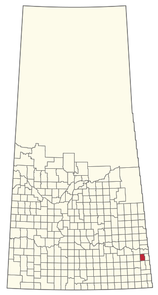
The Rural Municipality of Martin No. 122 is a rural municipality (RM) in the Canadian province of Saskatchewan within Census Division No. 5 and SARM Division No. 1. It is approximately 200 km (120 mi) east of Regina and bisected by the Trans-Canada Highway.
The Rural Municipality of Key West No. 70 is a rural municipality (RM) in the Canadian province of Saskatchewan within Census Division No. 2 and SARM Division No. 2. It is located in the southwest portion of the province.

The Rural Municipality of Barrier Valley No. 397 is a rural municipality (RM) in the Canadian province of Saskatchewan within Census Division No. 14 and SARM Division No. 4. It is located in the east-central portion of the province.

The Rural Municipality of Morse No. 165 is a rural municipality (RM) in the Canadian province of Saskatchewan within Census Division No. 7 and SARM Division No. 3. It is located in the southwest portion of the province.

The Rural Municipality of Silverwood No. 123 is a rural municipality (RM) in the Canadian province of Saskatchewan within Census Division No. 5 and SARM Division No. 1. It is located in the southeast portion of the province.

The Rural Municipality of Glen Bain No. 105 is a rural municipality (RM) in the Canadian province of Saskatchewan within Census Division No. 3 and SARM Division No. 3. It is located in the south-central portion of the province.

The Rural Municipality of Enniskillen No. 3 is a rural municipality (RM) in the Canadian province of Saskatchewan within Census Division No. 1 and SARM Division No. 1. Located in the southeast portion of the province, it is adjacent to the United States border, neighbouring Burke County and Renville County both in North Dakota.

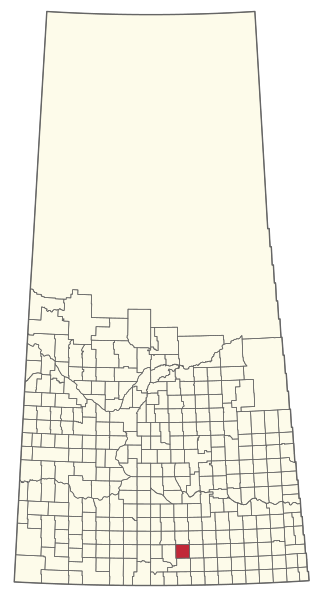
The Rural Municipality of Mankota No. 45 is a rural municipality (RM) in the Canadian province of Saskatchewan within SARM Division No. 3. Located in the southwest portion of the province, it is adjacent to the United States border, neighbouring Valley County and Phillips County in Montana.

The Rural Municipality of Hillsborough No. 132 is a rural municipality (RM) in the Canadian province of Saskatchewan within Census Division No. 7 and SARM Division No. 2. At 445.25 kilometres (276.7 mi) in area, it is the smallest RM in Saskatchewan.
The Rural Municipality of Bjorkdale No. 426 is a rural municipality (RM) in the Canadian province of Saskatchewan within Census Division No. 14 and SARM Division No. 4.

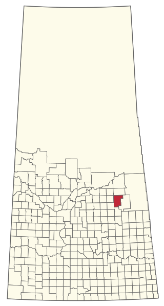
The Rural Municipality of Kellross No. 247 is a rural municipality (RM) in the Canadian province of Saskatchewan within Census Division No. 10 and SARM Division No. 4.
 Municipal office in Mankota
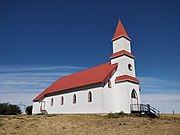 St. Martin's Church, Billimun
 Reliance School
 Billimun School
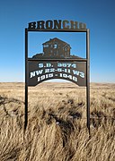 Broncho School site