Dumfries | |
---|---|
Coordinates: 45°57′54″N67°09′00″W / 45.965°N 67.15°W | |
Country | Canada |
Province | New Brunswick |
County | York |
Erected | 1833 |
Area | |
• Land | 298.51 km2 (115.26 sq mi) |
Population (2021) [1] | |
• Total | 420 |
• Density | 1.4/km2 (4/sq mi) |
• Change 2016-2021 | 18.0% |
• Dwellings | 304 |
Time zone | UTC-4 (AST) |
• Summer (DST) | UTC-3 (ADT) |
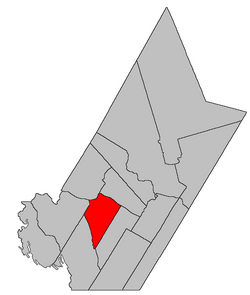
Dumfries is a geographic parish in York County, New Brunswick, Canada. [2]
Prior to the 2023 governance reform, for governance purposes it formed the local service district of the parish of Dumfries, [3] which was a member of Capital Region Service Commission (RSC11). [4]
The parish may have been named in honour of Capt. Adam Allen, a Loyalist born in Dumfries, Scotland, who settled at the mouth of the Pokiok River. [5]
Dumfries was erected in 1833 from Prince William Parish. and that part of Woodstock Parish south of the Carleton County line. [6]
In 1834 the county line was altered to follow grant lines when it neared the Saint John River, transferring several small areas between Dumfries and Woodstock. [7]
In 1836 the Saint John River islands in front of Dumfries were formally added to the parish, [8] correcting an oversight in the legislation erecting Dumfries.
In 1850 Big and Little Coac Islands were removed from Dumfries. [9]
In 1855 the western part of Dumfries was erected as Canterbury Parish. [10]
In 1895 the rear of Dumfries was included in the newly erected McAdam Parish. [11]
In 1973 the islands in the Saint John River were removed from the parish. [12] The islands were flooded by the Mactaquac Dam.
Dumfries Parish is bounded: [2] [13] [14]
The entire parish forms the local service district of the parish of Dumfries, established in 1966 to assess for fire protection. Community services were added to the assessment in 1967 and first aid and ambulance services in 1978.
Communities at least partly within the parish. [13] [14] [15] italics indicate a name no longer in official use
Bodies of water [lower-alpha 1] at least partly within the parish. [13] [14] [15]
Parks, historic sites, and other noteworthy places at least partly within the parish. [13] [14] [15] [16]
Saumarez is a geographic parish in Gloucester County, New Brunswick, Canada.
Queensbury is a geographic parish in York County, New Brunswick, Canada.
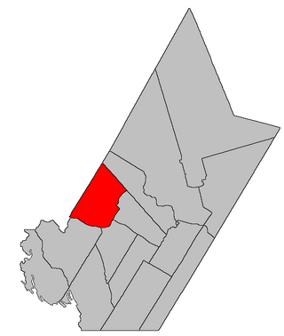
Southampton is a geographic parish in York County, New Brunswick, Canada.
Saint-François is a geographic parish in Madawaska County, New Brunswick, Canada.
Madawaska is a geographic parish in Madawaska County, New Brunswick, Canada.
Denmark is a geographic parish in Victoria County, New Brunswick, Canada.
Gordon is a geographic parish in Victoria County, New Brunswick, Canada.
Perth is a geographic parish in Victoria County, New Brunswick, Canada.
Carleton is a geographic parish in Kent County, New Brunswick, Canada.
Brighton is a geographic parish in Carleton County, New Brunswick, Canada, northeast of Woodstock, extending from the eastern bank of the Saint John River to the York County line.
Woodstock is a geographic parish in Carleton County, New Brunswick, Canada, surrounding the town of the same name on its landward side.
Canterbury is a geographic parish in York County, New Brunswick, Canada.
McAdam is a geographic parish in York County, New Brunswick, Canada.
Prince William is a geographic parish in York County, New Brunswick, Canada.
Manners Sutton is a geographic parish in York County, New Brunswick, Canada.
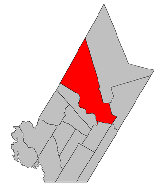
Douglas is a geographic parish in York County, New Brunswick, Canada.
Sussex is a geographic parish in Kings County, New Brunswick, Canada.
Hampton is a geographic parish in Kings County, New Brunswick, Canada.
Wickham is a geographic parish in Queens County, New Brunswick, Canada.
Saint Stephen is a geographic parish in Charlotte County, New Brunswick, Canada, located in the southwestern corner of the province.