Edmund, South Carolina | |
|---|---|
 Edmund  Edmund | |
| Coordinates: 33°51′42″N81°12′7″W / 33.86167°N 81.20194°W | |
| Country | United States |
| State | South Carolina |
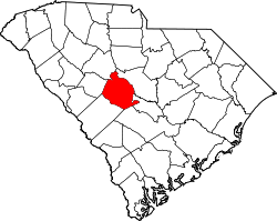
| County | Lexington |
| Area | |
• Total | 6.84 sq mi (17.72 km2) |
| • Land | 6.83 sq mi (17.70 km2) |
| • Water | 0.01 sq mi (0.02 km2) |
| Elevation | 456 ft (139 m) |
| Population | |
• Total | 969 |
| • Density | 141.79/sq mi (54.75/km2) |
| Time zone | UTC-5 (Eastern (EST)) |
| • Summer (DST) | UTC-4 (EDT) |
| ZIP Code | 29073 (Lexington) |
| Area codes | 803/839 |
| FIPS code | 45-23110 |
| GNIS feature ID | 2807069 [2] |
Edmund is an unincorporated community and census-designated place (CDP) in Lexington County, South Carolina, United States. It was first listed as a CDP in the 2020 census with a population of 969. [4]
Contents
The CDP is in central Lexington County, centered on the junction of South Carolina Highways 6 and 302. Highway 6 leads north 9 miles (14 km) to Lexington, the county seat, and southeast 12 miles (19 km) to Swansea, while Highway 302 leads northeast 10 miles (16 km) to West Columbia and southwest 7 miles (11 km) to Pelion.