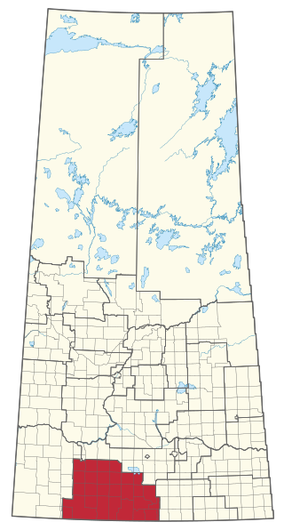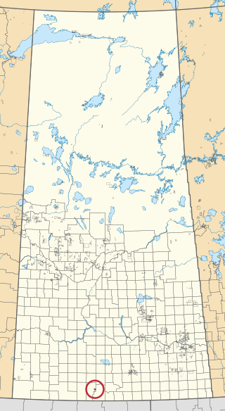

Fir Mountain is a hamlet in Saskatchewan, Canada.


Fir Mountain is a hamlet in Saskatchewan, Canada.
The Fir Mountain school was established in 1913. Local records indicate that Mrs. D. H. Blood, the first postmistress, named it after "her home in the United States", but there is no American community known by that name. Fir Mountain is more likely named after the nearby Wood Mountain hills, which are indeed forested. [1]

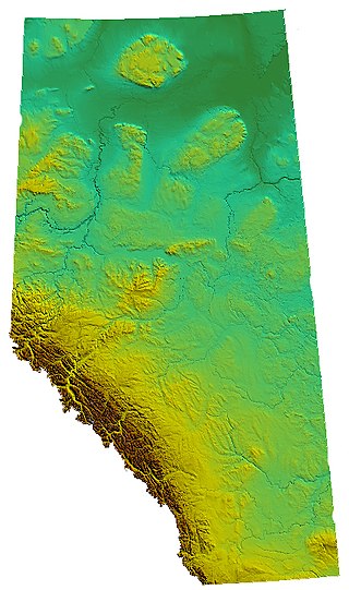
Alberta is one of the thirteen provinces and territories of Canada. Located in Western Canada, the province has an area of 661,190 km2 (255,290 sq mi) and is bounded to the south by the United States state of Montana along 49° north for 298 km (185 mi); to the east at 110° west by the province of Saskatchewan for 1,223 km (760 mi); and at 60° north the Northwest Territories for 644 km (400 mi). The southern half of the province borders British Columbia along the Continental Divide of the Americas on the peaks of the Rocky Mountains, while the northern half borders British Columbia along the 120th meridian west. Along with Saskatchewan it is one of only two landlocked provinces or territories.

Val Marie is a village in the Canadian province of Saskatchewan within the Rural Municipality of Val Marie No. 17 and Census Division 4. It is about 30 kilometres from the Canada-United States border.

Wood River is a provincial electoral district for the Legislative Assembly of Saskatchewan, Canada. Located in southern Saskatchewan, the district was created by the Representation Act, 1994 (Saskatchewan) out of parts of the former Assiniboia-Gravelbourg and Shaunavon constituencies. The district takes its name from the R.M. of Wood River, which is located in the center of the constituency.
Wood Mountain Regional Park is a conservation and recreation area in its natural state set aside as a regional park in south-western region of the Canadian province of Saskatchewan. The park is set in the semi-arid Palliser's Triangle in an upland area called Wood Mountain Hills. It is in the Rural Municipality of Old Post No. 43, 8 kilometres (5.0 mi) south of the village of Wood Mountain along Highway 18.
Limerick is a village in the Canadian province of Saskatchewan within the Rural Municipality of Stonehenge No. 73 and Census Division No. 3. The village is about 150 km (94 mi) north of the US border near the towns of Lafleche and Gravelbourg. The village is named after the Irish city of Limerick.

Hanley is a town in Division No. 11 in Saskatchewan, Canada. It is located 65 km south of Saskatoon. The town's population in 2011 was 522. It was named after Hanley, Staffordshire, England, by early founders. It is also the seat for the Rural Municipality of Rosedale No. 283.

The Tularosa Basin is a graben basin in the Basin and Range Province and within the Chihuahuan Desert, east of the Rio Grande in southern New Mexico and West Texas, in the Southwestern United States.

The Rural Municipality of Blucher No. 343 is a rural municipality (RM) in the Canadian province of Saskatchewan within Census Division No. 11 and SARM Division No. 5. It is located in the north-central portion of the province on the South Saskatchewan River.

Vanguard is a village in the Canadian province of Saskatchewan within the Rural Municipality of Whiska Creek No. 106 and Census Division No. 3. It is on Highway 43 close to Notekeu Creek. Its prime economic driver is agriculture: chick peas; lentils; red, spring, hard and durum wheats are grown here.

Bracken is a village in the Canadian province of Saskatchewan within the Rural Municipality of Lone Tree No. 18 and Census Division No. 4. The village is named after John Bracken, Premier of Manitoba and leader of the Progressive Conservative Party of Canada, who was a professor at the University of Saskatchewan. The small village is located approximately 160 km south of the City of Swift Current on Highway 18, directly north of Grasslands National Park, and approximately 20 km north of the Montana-Saskatchewan border.
Buchanan is a village in the Canadian province of Saskatchewan within the Rural Municipality of Buchanan No. 304 and Census Division No. 9.

Meyronne is a special service area in the Canadian province of Saskatchewan.

Meacham is a village in the Canadian province of Saskatchewan within the Rural Municipality of Colonsay No. 342 and Census Division No. 11. It is located 69 kilometres east of the City of Saskatoon on Highway 2.
Hitchcock Bay is a hamlet in the Canadian province of Saskatchewan. It is on the northern shore of Lake Diefenbaker at the inflow of Hitchcock Creek.
McCord is a hamlet in the Canadian province of Saskatchewan. It is situated about one mile south of Highway 18, between Ferland and Glentworth, in the south-central portion of the province.
Quantock is an unincorporated area of Saskatchewan, Canada. According to a book titled Saskatchewan Ghost Towns, it was the location of a post office intended to serve isolated farmers and ranchers. Its mail route came from the nearby community of Assiniboia. It is located near the border with Montana, southwest of Regina.
The Grasslands Project is a 2016 series of 10 short documentary films about small rural communities in southern Alberta and Saskatchewan, directed by Scott Parker and produced by David Christensen for the National Film Board of Canada (NFB).

Wood Mountain 160 is an Indian reserve of the Wood Mountain Lakota First Nation in the Wood Mountain Hills of Saskatchewan. It is about 135 kilometres (84 mi) south-west of Moose Jaw. In the 2016 Canadian Census, it recorded a population of 20 living in 11 of its 14 total private dwellings.
Eyebrow Lake is a man-made marshy lake that parallels the Qu'Appelle River in the southern region of the Canadian province of Saskatchewan. Located in the RM of Huron No. 223, it is the first lake in a series of lakes along the Qu'Appelle River after Qu'Appelle River Dam and Lake Diefenbaker. The next lake downstream is Buffalo Pound Lake. The closest community is the village of Tugaske and, while there are no public recreation sites at the lake, it can be accessed by Highway 627. The lake gets its name from the nearby Eyebrow Hills, which are shaped like an eyebrow. The nearby town of Eyebrow and RM of Eyebrow No. 193 are also named after these hills.
Wood River is a river in the Canadian province of Saskatchewan. It has its source in the Wood Mountain Hills of south-western Saskatchewan and flows in a north-easterly direction to its mouth at Old Wives Lake. Old Wives Lake is a salt water lake with no outflow. As a result, the drainage basin of Wood River is an endorheic one. Along the course of the river, there are several parks, historical sites, and small towns.
49°23′07″N106°33′16″W / 49.38528°N 106.55444°W