Ganotown | |
|---|---|
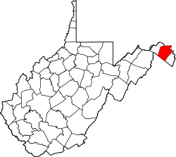
 Ganotown Location within the state of West Virginia  Ganotown Ganotown (the United States) | |
| Coordinates: 39°24′14″N78°08′58″W / 39.40389°N 78.14944°W | |
| Country | United States |
| State | West Virginia |
| County | Berkeley |
| Elevation | 545 ft (166 m) |
| Time zone | UTC-5 (Eastern (EST)) |
| • Summer (DST) | UTC-4 (EDT) |
| GNIS feature ID | 1554526 [1] |
Ganotown is an unincorporated community on Back Creek in Berkeley County, West Virginia, United States. It is located at the crossroads of County Routes 7 and 7/19.
The community was named after the local Gano family. [2]