Utica is a town in Utica Township, Clark County, Indiana, United States. The population was 776 at the 2010 census.

Sulphur Springs is a town in Jefferson Township, Henry County, Indiana, United States. As of the 2010 census, the town's population was 399.

Bethany is a town in Clay Township, Morgan County, in the U.S. state of Indiana. The population was 95 at the 2020 census.

Bainbridge is a town in Monroe Township, Putnam County, in the U.S. state of Indiana. The population was 746 at the 2010 census.

Clarks Hill is a town in Lauramie Township, Tippecanoe County, in the U.S. state of Indiana. The population was 611 at the 2010 census.
Chester is a town in Penobscot County, Maine, United States. The population was 549 at the 2020 census.
Danforth is a town in Washington County, Maine, United States. The town was named for proprietor Thomas Danforth. The population was 587 at the 2020 census. The town contains the villages of Danforth and Eaton. East Grand High School is located in Danforth.

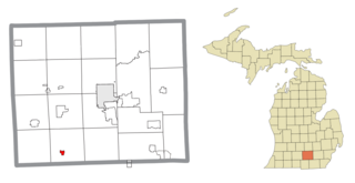
Hanover is a village in Jackson County in the U.S. state of Michigan. The population was 441 at the 2010 census. The village is located within Hanover Township.

Butte Falls is a city in Jackson County, Oregon, United States. The population was 423 at the 2010 census. As of July 1, 2018, the city's population was estimated to be 450.

Grass Valley is a city in Sherman County, Oregon, United States. The population was 164 at the 2010 census.

Handley is a town in Kanawha County, West Virginia, United States. The population was 224 at the 2020 census. Handley was first established in 1877 and known as Upper Creek until July 29, 1881, when its name was changed to Handley for pioneer settlers who farmed the area. Handley has the distinction of bearing a name like no other town in the United States. The town was incorporated November 1972.

Bramwell is a town in Mercer County, West Virginia, United States, along the Bluestone River. The population was 277 at the 2020 census. It is part of the Bluefield, WV-VA micropolitan area which has a population of 107,578.

Auburn is a town in Ritchie County, West Virginia, United States. The population was 80 at the 2020 census.

Dewey is a town in Burnett County in the U.S. state of Wisconsin. The population was 516 at the 2010 census. The unincorporated community of Bashaw is located in the town.

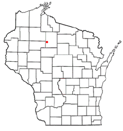
Warner is a town in Clark County in the U.S. state of Wisconsin. As of the 2000 census, the town had a total population of 627. The unincorporated community of Hemlock is located in the town.

The Town of Hickory Grove is located in Grant County, Wisconsin, United States. The population was 568 at the 2020 census. The unincorporated communities of Hickory Grove and Homer are located in the town.

North Lancaster is a town in Grant County, Wisconsin, United States. The population was 515 at the 2000 census.

Sterling is a town in Polk County, Wisconsin, United States. The population was 724 at the 2000 census. The unincorporated communities of Cushing and Wolf Creek are located partially in the town.

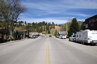
Hulett is a town in Crook County, Wyoming, United States. The population was 309 at the 2020 census.

Hustisford is a town in Dodge County, Wisconsin, United States. The population was 1,379 at the 2000 census. Most of the town residents live in the village of Hustisford, within the town.


