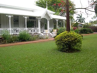
Hyde Park is a suburb in the City of Townsville, Queensland, Australia. In the 2021 census, Hyde Park had a population of 1,374 people.
Mysterton is a suburb in the City of Townsville, Queensland, Australia. It is one of the smallest suburbs in Townsville.

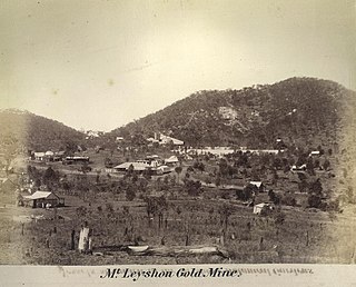
Ravenswood is a rural town and locality in the Charters Towers Region, Queensland, Australia. In the 2016 census, the locality of Ravenswood had a population of 255 people.

Cluden is an outer southern suburb of Townsville in the City of Townsville, Queensland, Australia. In the 2021 census, Cluden had a population of 413 people.
Toomulla is a coastal town and suburb in the City of Townsville, Queensland, Australia. In the 2021 census, the suburb of Toomulla had a population of 193 people.

Queenton is an eastern suburb of Charters Towers in the Charters Towers Region, Queensland, Australia. In the 2021 census, Queenton had a population of 1,236 people.
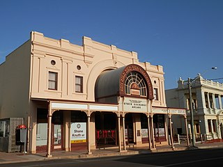
Charters Towers City is the central suburb and central business district of the town of Charters Towers in the Charters Towers Region, Queensland, Australia. In the 2021 census, Charters Towers City had a population of 2,219 people.

Richmond Hill is a suburb of Charters Towers in the Charters Towers Region, Queensland, Australia. In the 2021 census, Richmond Hill had a population of 2,453 people.
Toll is a residential locality of Charters Towers in the Charters Towers Region, Queensland, Australia. In the 2021 census, Toll had a population of 711 people.
Alabama Hill is a suburb of Charters Towers in the Charters Towers Region, Queensland, Australia. In the 2021 census, Alabama Hill had a population of 103 people.

Towers Hill is a suburb of Charters Towers in the Charters Towers Region, Queensland, Australia. In the 2016 census Towers Hill had a population of 218 people.
Mosman Park is a suburb of Charters Towers in the Charters Towers Region, Queensland, Australia. In the 2021 census, Mosman Park had a population of 342 people.
Millchester is a rural residential town and suburb in the Charters Towers Region, Queensland, Australia. In the 2016 census, the suburb of Millchester had a population of 543 people.
Columbia is a rural locality in the Charters Towers Region, Queensland, Australia. In the 2021 census, Columbia had a population of 97 people.
Breddan is a rural locality in the Charters Towers Region, Queensland, Australia. In the 2021 census, Breddan had a population of 478 people.

Black Jack is a rural locality in the Charters Towers Region, Queensland, Australia. It was formerly a mining town. In the 2021 census, Black Jack had a population of 167 people.

Broughton is a rural locality in the Charters Towers Region, Queensland, Australia. In the 2021 census, Broughton had a population of 714 people.
Seventy Mile is a rural locality in the Charters Towers Region, Queensland, Australia. In the 2021 census, Seventy Mile had a population of 204 people.
Calcium is a rural locality in the City of Townsville, Queensland, Australia. In the 2021 census, Calcium had a population of 12 people.
Rangewood is a suburb of Townsville in the City of Townsville, Queensland, Australia. In the 2021 census, Rangewood had a population of 1,084 people.

