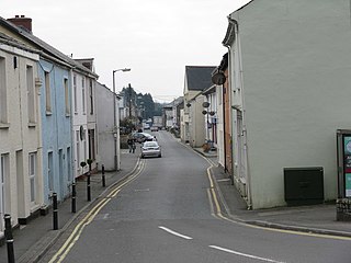
St Austell is a town in Cornwall, England, 10 miles (16 km) south of Bodmin and 30 miles (48 km) west of the border with Devon.

Charlestown is a village and port on the south coast of Cornwall, United Kingdom, in the civil parish of St Austell Bay. It is situated approximately 2 miles (3 km) south east of St Austell town centre.

Kelly Bray is a village in east Cornwall, England, United Kingdom. It is situated one mile (1.6 km) north of Callington, immediately west of Kit Hill in a former mining area. Kelly Bray is in the parish of Callington and lies within the St Dominick, Harrowbarrow and Kelly Bray division on Cornwall Council. The population was 3,949 at the 2011 census. Kelly Bray is first recorded ca. 1286 as Kellibregh.

Chacewater is a village and civil parish in Cornwall, England, UK. It is situated approximately 3 miles (4.8 km) east of Redruth. The hamlets of Carnhot, Cox Hill, Creegbrawse, Hale Mills, Jolly's Bottom, Salem, Saveock, Scorrier, Todpool, Twelveheads and Wheal Busy are in the parish. The electoral ward is called Chacewater & Kenwyn. At the 2011 census a population of 3,870 was quoted.

London Apprentice is a village in south Cornwall, England, UK, on the banks of St Austell River in the Pentewan Valley approximately two miles (3 km) south of St Austell.

Calstock is a civil parish and a large village in south east Cornwall, England, United Kingdom, on the border with Devon. The village is situated on the River Tamar 6 miles (9.7 km) south west of Tavistock and 10 miles (16 km) north of Plymouth.

St Blazey is a small town in Cornwall, England, United Kingdom.

Constantine is a village and civil parish in Cornwall, England, United Kingdom. It is situated approximately five miles (8 km) west-southwest of Falmouth. The electoral ward also bears the same name but includes Budock Water and the surrounding area. At the 2011 census, the population of the ward was 4,709 and the population of the civil parish was 1,789. The parish of Constantine is bounded by the parishes of Mabe, Mawnan, Gweek, Wendron and the north bank of the Helford River.

Towan is found in many placenames in Cornwall. However, The Towans usually refers to the three-mile (5 km) stretch of coastal dunes which extends north-east from the estuary of the River Hayle to Gwithian beach with a midpoint near Upton. The South West Coast Path crosses the towans.
Lanescot is a village in Cornwall, England, United Kingdom. It is in a former mining area, about four miles (6 km) east-northeast of St Austell and four miles (6 km) west-northwest of Fowey. The Saints' Way long-distance footpath passes through Lanescot.

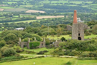
Caradon Hill is on Bodmin Moor in the former Caradon district of Cornwall, England, United Kingdom. The summit is 371 metres (1,217 ft) above mean sea level. Caradon Hill is on the southeastern edge of the moor; it is between the villages of Minions (northwest), Upton Cross (northeast), Pensilva (southeast) and Darite (southwest).

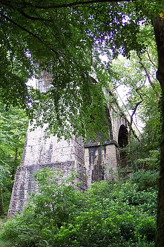
The Luxulyan Valley is the steep sided and thickly wooded valley of the River Par, situated in mid Cornwall, England, UK. It contains a major concentration of early 19th century industrial remains, and was designated as part of a World Heritage Site in 2006.

Pentewan is a coastal village and former port in south Cornwall, England, United Kingdom. It is situated at grid reference SX 019 472 3 miles (4.8 km) south of St Austell at the mouth of the St Austell River.

Troon is a village in Cornwall, UK, 1+1⁄2 miles southeast of Camborne. The village lies at around 560 feet (170 m) above sea level. An electoral ward named Troon and Beacon covers the area north from Troon to the outskirts of Camborne. The population at the 2011 census was 5,410.

Sancreed Beacon is a Bronze Age archaeological site near the village of Sancreed in the Penwith peninsula of Cornwall maintained by the Cornwall Heritage Trust. On top of the hill are several stone cists and Bronze Age archaeological remains comprising burial mounds and the remains of a Bronze Age hut on the Western slope.
Wheal Eliza is a cricket ground in Holmbush, to the east of St Austell, Cornwall. The ground is bordered to the south by Holmbush Road, to the east by the A391 road and to the north and west by housing. The end names of the ground are the City End and the Bethel End. Facilities include two playing fields with their own changing room facilities enabling two competitive matches to be played every match day. The ground also has a pavilion, scorebox, artificial and grass nets.

Trencrom Hill is a prominent hill fort, owned by the National Trust, near Lelant, Cornwall. It is crowned by an univallate Neolithic tor enclosure and was re-used as a hillfort in the Iron Age. Cairns or hut circles can be seen in the level area enclosed by the stone and earth banks. The hill overlooks the Hayle Estuary and river, and Mount's Bay and St Michael's Mount can be seen to the south. The hill was recorded as Torcrobm in 1758 which is derived from Cornish "torr crobm", i.e. 'hunched bulge'.

Rinsey is a hamlet in Cornwall, England, United Kingdom. It is located off the main A394 road between Helston and Penzance in the civil parish of Breage. The nearby hamlet of Rinsey Croft is located 1 km to the north-east. The nearby cliffs and beach are owned and managed by the National Trust and part of Rinsey East Cliff is designated as the Porthcew Site of Special Scientific Interest (SSSI) for its geological interest. The South West Coast Path passes through the property. Rinsey lies within the Cornwall Area of Outstanding Natural Beauty (AONB).

Phoenix United Mine is a disused 19th century copper and tin mine in Cornwall, England, UK. Heavy metals left over in the soil from the mining operations have allowed mosses and lichens to flourish, and today the site is a Site of Special Scientific Interest (SSSI), noted for its biological characteristics.

Devon Great Consols was a copper mine near Tavistock in Devon. The lease on the site was taken from the Duke of Bedford in 1844 by a group of investors. The 1,024 shares, sold at one pound each, were divided among the six men. Earlier attempts to mine this property had all ended in failure.


