January 1886 blizzard

Last updated
January 1886 blizzard
Sfc188601090730AM.png
Surface analysis of Blizzard on January 9, 1886.
Type Extratropical cyclone
Blizzard
Winter storm
FormedJanuary 6, 1886
DissipatedJanuary 11, 1886
Maximum snowfall
or ice accretion
18.5 inches (47 cm)
Fatalities38+
Areas affectedPlains, South, and East

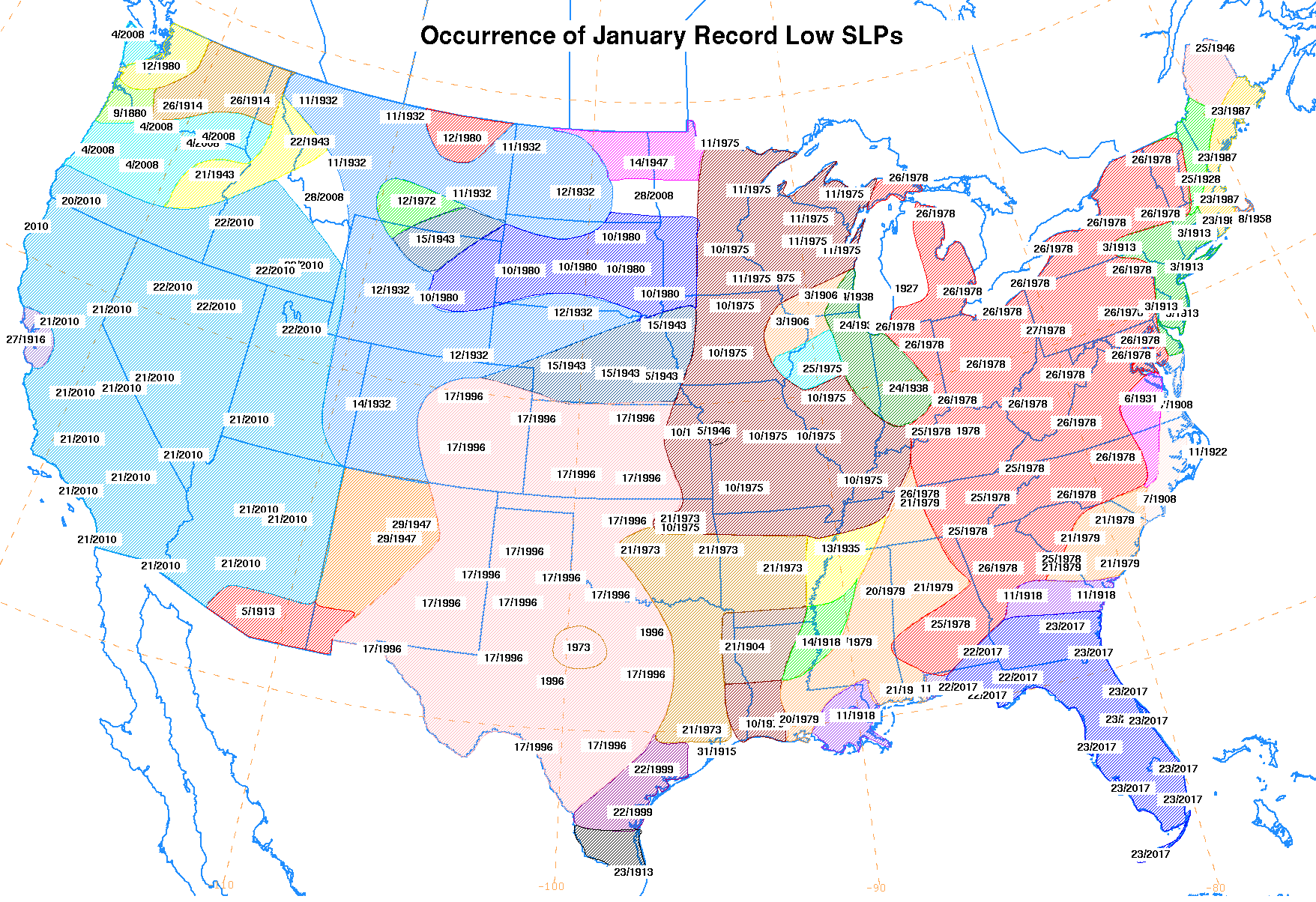
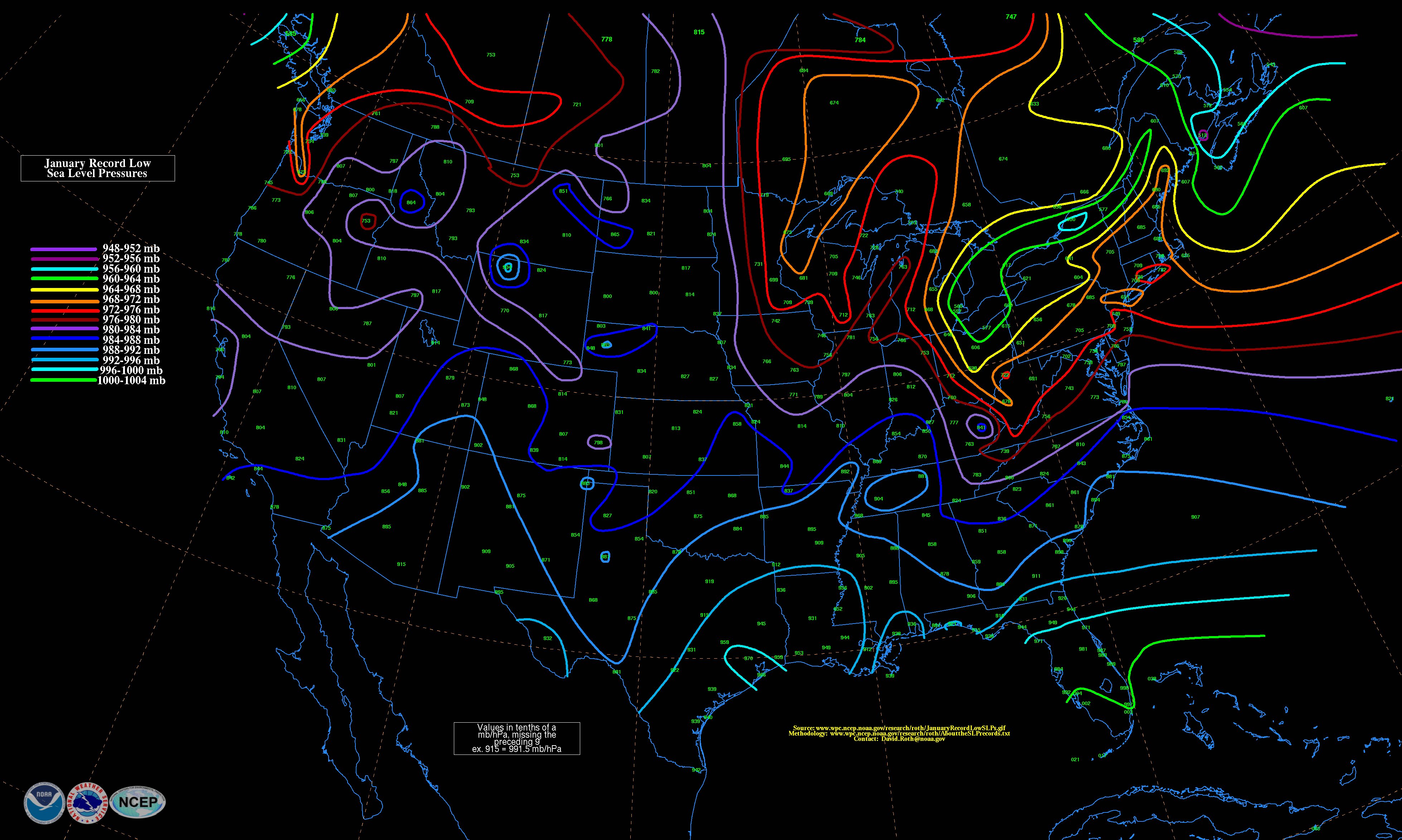
The January 1886 blizzard in North America was caused by a strong extratropical cyclone which initially dropped southeast across Texas before strengthening while it moved through the South and East, near the Eastern Seaboard through New England. The cyclone was at its strongest as it moved by New Jersey. This system formed within an active pattern which brought significant snow to the southern Rockies over many days. The system brought high winds and snowfall near and west of its path, resulting in blizzard conditions across portions of the Plains and East. A significant cold spell was ushered in by this system across portions of the southern and eastern United States. A slightly stronger storm on January 3, 1913, broke January low sea level pressure records originally set by this storm. [1]

Contents

Meteorological evolution

A cold wave was ongoing across the northern Plains when this low developed, with temperatures close to −50 °F (−46 °C) near the central Canada–US border. A surface low developed north of Texas on January 6, [2] dropping southeast to the lower Texas coast early on January 7. The cyclone tracked inland of the coast through the Deep South later on January 7 and early January 8, before turning northeast through Georgia and emerging offshore the Virginia Capes late on January 8. The system reached its maximum intensity as it moved near New Jersey late on January 8. [3]

The lowest pressure measured on land was 28.69 inches of mercury (972 hPa) at Philadelphia, Pennsylvania, Providence, Rhode Island, and Blue Hill Observatory in Massachusetts; the cyclone was considered one of the most extreme to pass through New England at the time. The storm's center then moved inland across Long Island by 11 a.m. on January 9, then across Rhode Island by 1 p.m. and Boston by 2 p.m. before turning northward through Maine around 10 p.m. Temperature readings quickly fell by 10-15F (6-9 C) after the passage of the cyclone. High-level cirrus clouds led the center of circulation by 24 hours, with snow occurring 12 hours after the cirrus invasion. [2] While weakening, the storm moved through southeast Quebec on January 10. [4] The low pressure area moved at an average forward motion of 34 miles per hour (55 km/h) through the United States. [3]

Fort Macon, North Carolina, registered winds up to 62 miles per hour (100 km/h) from the southwest on January 8. The high winds led to the wreck of the Cressie Wright, with six of the seven aboard perishing. Norfolk, Virginia reported high winds which caused damage. High water and wave action from the Atlantic greatly damaged the New Jersey Southern Railroad track in Sandy Hook, New Jersey, on January 9. The gale in New York City blew away the anemometer cups at the local weather observing site, and led to numerous maritime mishaps. A blizzard was caused by the high winds and heavy snow at New London, Connecticut. A schooner sank with all aboard off Charles Island.

The schooner Alan Greene beached near Port Judith, Rhode Island, while the Mattie D. went ashore near Newport, Rhode Island. This storm reopened an inlet at Martha's Vineyard first opened by a storm in 1856. The inlet reclosed between 1902 and 1903. [5] Provincetown, Massachusetts, experienced its worst gale in a decade, [3] with winds peaking at an estimated 68 miles per hour (109 km/h). Blue Hill Observatory, Massachusetts, saw winds peak at 65 miles per hour (105 km/h). [2] Boston, Massachusetts, measured winds as high as 64 miles per hour (103 km/h) and heavy snow. Seven people died in Boston Harbor while 40 vessels went ashore in New England. Eastport, Maine, experienced a $20,000 (1886 USD) loss during the storm. Snow and sleet fell at that station, and 19 schooners were damaged, with five sinking in the rough seas. [3]

As the initial low pressure system formed, a cold front swept through the Plains, stirring up snow which had fallen from a previous blizzard. Although a minimal amount of new snow fell, blizzard conditions resumed in Colorado, Kansas and Nebraska late on January 6 due to increasing winds. Telegraph wires were downed over a large area, with the rails of the Santa Fe, Burlington, Union, and Kansas Pacific railroads recovered with snow, resuspending travel. Cattle across the region were driven southward. [6] Across the Texas Panhandle, at least five died due to exposure on January 6. [7]

Other locations across the Midwest received blizzard condition's along the inverted trough to the north and northwest of the main low pressure area. On January 7 and 8, this system's associated blizzard led to the largest loss of life from a blizzard in Iowa's history, with 20 perishing. [8] Snow drifts across Kentucky shut down travel on the Louisville and Nashville, Chesapeake and Ohio, and Chesapeake and Southwestern railroads. [9]

In Jasper, Alabama, a mix of rain, sleet and snow fell on January 8 and 9. [10] Savannah, Georgia, reported a light snowfall for the first time in six years. [9] On January 8, a site within Wilkes County, North Carolina recorded 8 inches (20 cm) of snowfall. [11] The South Mountains near Staunton, Virginia, reported 14 inches (36 cm) of snow, with 6 inches (15 cm) measured in Staunton proper. The snow delayed trains and covered area roads. Harrisonburg, Virginia, received 10 inches (25 cm) of snow during a "raging blizzard" in the night of January 8. Baltimore, Maryland, was blanketed by 9 inches (23 cm) of snow. [9] Pittsburgh, Pennsylvania, recorded 18.5 inches (47 cm) of snow from this storm, which was its heaviest snowfall on record at the time (this snowfall has since fallen to fifth place). [12]

Up to 24 inches (61 cm) of snow fell in parts of Long Island, [13] with 11.9 inches (30 cm) falling in Central Park. [14] As the system moved through New England, snowfall appeared concentrated along the cyclone's path, with areas of over 15 inches (38 cm) measured across southeast Connecticut and northeast Massachusetts. A separate maximum of over 10 inches (25 cm) was noted across central Vermont. A 7:1 snow to liquid ratio (or 7 cm/in of snow for every 1 cm/in of rain) was determined from an average of the available snowfall and liquid equivalent measurements made at the time. [2] Montreal experienced blizzard conditions with heavy snow and wind on January 9. [9]

Cold wave in its wake

A significant chunk of Arctic air from the north filtered down into the South in the wake of this system. Corpus Christi, Texas, saw its temperature plunge by 64 °F (18 °C) within 12 hours. Palestine, Texas, fell to 0 °F (−18 °C), its coldest temperature in 40 years. [9] Nashville, Tennessee, recorded five consecutive days with lows below 0 °F (−18 °C) between January 8 and January 12, with a minimum of −9 °F (−23 °C) on January 11. [15] Chattanooga, Tennessee, fell to −5 °F (−21 °C) on January 9, its coldest reading on record at the time. [9] On January 11, the temperature at Jasper, Alabama, fell to 0 °F (−18 °C). [10] Portions of North Carolina saw temperatures fall well below 0 °F (−18 °C) from January 11 through 14, with readings as low at −18 °F (−28 °C) in Wilkes County on January 12. [11]

Related Research Articles

<span class="mw-page-title-main">Blizzard</span> Type of snowstorm

A blizzard is a severe snowstorm characterized by strong sustained winds and low visibility, lasting for a prolonged period of time—typically at least three or four hours. A ground blizzard is a weather condition where snow is not falling but loose snow on the ground is lifted and blown by strong winds. Blizzards can have an immense size and usually stretch to hundreds or thousands of kilometres.

<span class="mw-page-title-main">Great Blizzard of 1978</span> Historically strong winter storm across central and eastern USA in 1978

The Great Blizzard of 1978 was a historic winter storm that struck the Ohio Valley and Great Lakes regions of the United States as well as Southern Ontario in Canada from Wednesday, January 25 through Friday, January 27, 1978. It is often cited as one of the most severe blizzards in US history. The third lowest non-tropical atmospheric pressure ever recorded in the mainland United States occurred as the storm passed over Mount Clemens, Michigan, where barometer readings fell to 956.0 mb (28.23 inHg) on January 26.

<span class="mw-page-title-main">North American blizzard of 2006</span> Winter storm in North America in 2006

The North American blizzard of 2006 was a nor'easter that began on the evening of February 11, 2006. It dumped heavy snow across the Mid-Atlantic and New England states, from Virginia to Maine through the early evening of February 12, and ended in Atlantic Canada on February 13. The major cities from Baltimore to Boston received at least a foot of snow, with a second-highest amount of 26.9 inches (68 cm) in New York City, the most since at least 1869, the start of record keeping, only broken by the January 2016 United States blizzard nearly 10 years later.

<span class="mw-page-title-main">1991 Halloween blizzard</span> Storm that affected the Upper Midwest of the United States

The 1991 Halloween blizzard was a powerful storm that caused a period of heavy snowfall and ice accumulation, which affected parts of the Upper Midwest of the United States, from October 31 to November 3, 1991. Over the last week of October 1991, a large storm system over the Atlantic Ocean blocked most of the weather patterns over the eastern half of the United States, and in turn, moisture from the Gulf of Mexico was funneled straight northward over the affected region. By the time the precipitation stopped falling, many cities in the eastern half of Minnesota and northwestern Wisconsin had witnessed record early-season snowfall accumulations, while parts of southern Minnesota and northern Iowa were crippled by a large ice storm. Arctic air that was pulled southward behind the storm had combined with the heavy snow pack to produce many record low temperatures. Between the blizzard and the ice storm, 22 people were killed and over 100 were injured.

<span class="mw-page-title-main">December 21–24, 2004, North American winter storm</span>

A historic snowstorm struck the Ohio Valley of the United States, as well as Ontario in Canada, on December 22 and December 23 and is not the same storm that led to snow in Texas on Christmas Eve. It lasted roughly 30 hours, and brought snowfall amounts up to 29 inches (74 cm) to portions of the Midwestern United States. Damages from the storm totaled US$900 million (2004 dollars). A total of 18 died during the storm, one from Canada, mainly due to car accidents.

The Early Winter 2006 North American storm complex was a severe winter storm that occurred on November 26, 2006, and continued into December 1. It affected much of North America in some form, producing various kinds of severe weather including a major ice storm, blizzard conditions, high winds, extreme cold, a serial derecho and some tornadoes.

<span class="mw-page-title-main">North American blizzard of 1966</span>

The Blizzard of 1966 was a nor' easter that impacted the northeastern United States and Eastern Canada from January 29-February 1, 1966. Heavy lake effect snows preceded the cyclonic storm southeast of Lake Ontario. In and around the Lake Ontario snow belt, the storm period is considered to have lasted from January 27 - February 1, 1966, and the blizzard was a combination nor' easter and lake effect event in this region.

Global weather activity of 2009 profiles the major worldwide storms, including blizzards, tornadoes, ice storms, tropical cyclones and other meteorogical events, from January 1, 2009, to December 31, 2009. Wintery storms are events in which the dominant varieties of precipitation are forms that only occur at cold temperatures, such as snow or sleet, or a rainstorm where ground temperatures are cold enough to allow ice to form. It may be marked by strong wind, thunder and lightning, heavy precipitation, such as ice, or wind transporting some substance through the atmosphere. Summer storms including flooding, severe thunderstorms and extratropical cyclones are also included in this list to a certain extent.

<span class="mw-page-title-main">Weather of 2008</span>

Global storm activity of 2008 profiles the major worldwide storms, including blizzards, ice storms, and other winter events, from January 1, 2008 to December 31, 2008. A winter storm is an event in which the dominant varieties of precipitation are forms that only occur at cold temperatures, such as snow or sleet, or a rainstorm where ground temperatures are cold enough to allow ice to form. It may be marked by strong wind, thunder and lightning, heavy precipitation, such as ice, or wind transporting some substance through the atmosphere. Major dust storms, Hurricanes, cyclones, tornados, gales, flooding and rainstorms are also caused by such phenomena to a lesser or greater existent.

Global weather activity of 2006 profiles the major worldwide weather events, including blizzards, ice storms, tropical cyclones, tornadoes, and other weather events, from January 1, 2006, to December 31, 2006. Winter storms are events in which the dominant varieties of precipitation are forms that only occur at cold temperatures, such as snow or sleet, or a rainstorm where ground temperatures are cold enough to allow ice to form. It may be marked by strong wind, thunder and lightning, heavy precipitation, such as ice, or wind transporting some substance through the atmosphere. Other major non winter events such as large dust storms, Hurricanes, cyclones, tornados, gales, flooding and rainstorms are also caused by such phenomena to a lesser or greater existent.

<span class="mw-page-title-main">2013–14 North American winter</span>

The 2013–14 North American winter was one of the most significant for the United States, due in part to the breakdown of the polar vortex in November 2013, which allowed very cold air to travel down into the United States, leading to an extended period of very cold temperatures. The pattern continued mostly uninterrupted throughout the winter and numerous significant winter storms affected the Eastern United States, with the most notable one being a powerful winter storm that dumped ice and snow in the Southeastern United States and the Northeastern United States in mid-February. Most of the cold weather abated by the end of March, though a few winter storms did affect the Western United States towards the end of the winter.

<span class="mw-page-title-main">2014–15 North American winter</span> Winter season in North America

The 2014–15 North American winter was frigid and prolifically wintry, especially across the eastern half of North America in the months of January–March. The season began early, with many places in North America experiencing their first wintry weather during mid-November. A period of below-average temperatures affected much of the contiguous United States, and several records were broken. An early trace of snowfall was recorded in Arkansas. There were greater accumulations of snow across parts of Oklahoma as well. A quasi-permanent phenomenon referred to as the polar vortex may have been partly responsible for the cold weather. Temperatures in much of the United States dropped 15 to 35 °F below average by November 19, following a southward "dip" of the polar vortex into the eastern two-thirds of the country. The effects of this dip were widespread, bringing about temperatures as low as 28 °F (−2 °C) in Pensacola, Florida. Following a significant snowstorm there, Buffalo, New York received several feet of snow from November 17–21. In addition, significant winter weather occurred throughout the season, including a major blizzard that struck the Northeastern United States at the end of January, another blizzard that affected much of the Northern United States days later in early February, and several significant snow events paired with very frigid temperatures for much of February.

<span class="mw-page-title-main">2015–16 North American winter</span>

The 2015–16 North American winter was not as frigid across North America and the United States as compared to the 2013–14 and 2014–15 winters. This was mainly due to a strong El Niño, which caused generally warmer-than-average conditions. However, despite the warmth, significant weather systems still occurred, including a snowstorm and flash flooding in Texas at the end of December and a large tornado outbreak at the end of February. The main event of the winter season, by far and large, was when a crippling and historic blizzard struck the Northeastern United States in late January, dumping up to 3 feet of snow in and around the metropolitan areas. Several other smaller snow events affected the Northeast as well, but for the most part the heaviest snowstorms and ice stayed out further west, such as a severe blizzard in western Texas in late December, and a major late-season snowstorm in Colorado in mid-April.

<span class="mw-page-title-main">2010–11 North American winter</span>

The 2010–11 North American winter was influenced by an ongoing La Niña, seeing winter storms and very cold temperatures affect a large portion of the Continental United States, even as far south as the Texas Panhandle. Notable events included a major blizzard that struck the Northeastern United States in late December with up to 2 feet (24 in) of snowfall and a significant tornado outbreak on New Year's Eve in the Southern United States. By far the most notable event was a historic blizzard that impacted areas from Oklahoma to Michigan in early February. The blizzard broke numerous snowfall records, and was one of the few winter storms to rank as a Category 5 on the Regional Snowfall Index. In addition, Oklahoma set a statewide low temperature record in February.

<span class="mw-page-title-main">2017–18 North American winter</span> Weather summary

The 2017–18 North American winter saw weather patterns across North America that were very active, erratic, and protracted, especially near the end of the season, resulting in widespread snow and cold across the continent during the winter. Significant events included rare snowfall in the South, an outbreak of frigid temperatures that affected the United States during the final week of 2017 and early weeks of January, and a series of strong nor'easters that affected the Northeastern United States during the month of March. In addition, flooding also took place during the month of February in the Central United States. Finally the winter came to a conclusion with a powerful storm system that caused a tornado outbreak and blizzard in mid-April. The most intense event, however, was an extremely powerful cyclonic blizzard that impacted the Northeastern United States in the first week of 2018. Similar to the previous winter, a La Niña was expected to influence the winter weather across North America.

<span class="mw-page-title-main">2018–19 North American winter</span> North American winter of 2018–19

The 2018–19 North American winter was unusually cold within the Northern United States, with frigid temperatures being recorded within the middle of the season. Several notable events occurred, such as a rare snow in the Southeast in December, a strong cold wave and several major winter storms in the Midwest, and upper Northeast and much of Canada in late January and early February, record snowstorms in the Southwest in late February, deadly tornado outbreaks in the Southeast and a historic mid-April blizzard in the Midwest, but the most notable event of the winter was a record-breaking bomb cyclone that affected much of the Central United States and Canada in mid-March. Unlike previous winters, a developing weak El Niño was expected to influence weather patterns across North America. Overall, however, winter of 2018–19 was mild along the mid- and lower parts of the East Coast, the West Coast, and most of the southern Plains. Overall, the meteorological winter of 2018-19 became the wettest on record for the United States.

<span class="mw-page-title-main">2019–20 North American winter</span>

The 2019–20 North American winter was unusually warm for many parts of the United States; in many areas, neutral ENSO conditions controlled the weather patterns, resulting in the sixth-warmest winter on record, and many areas in the Northeastern United States saw one of the least snowy winters in years. In fact, Baltimore and Islip saw no snow in February for the first time. Some notable events still occurred, such as a powerful blizzard that impacted the Western United States in late November, a series of cold shots in January and February, a snowstorm within the Texas Panhandle and a late-season blizzard in the High Plains.

<span class="mw-page-title-main">2020–21 North American winter</span> Winter season in North America

The 2020–21 North American winter was the most significant winter season to affect North America in several years, and the costliest on record, with a damage total of at least $33.35 billion. The season featured 6 storms ranking on the Regional Snowfall Index scale, with 4 storms ranking as at least a Category 3. Most of the winter's damage and fatalities occurred due to a historic and major cold wave in mid-February. Several other significant events occurred, including a crippling early-season ice storm in the Southern Plains, a powerful nor'easter in mid-December, another major nor'easter in early February, two major and widespread winter storms in mid-February, and a major blizzard in the Rocky Mountains in mid-March. The winter-related events were responsible for at least 358 fatalities, making it the deadliest season since 1992–93. A La Niña pattern influenced much of the winter in North America.

<span class="mw-page-title-main">2021–22 North American winter</span> Winter season in North America

The 2021–22 North American winter was not as significant and record-breaking as the previous winter season. Despite this, several notable and significant events still occurred, including two separate record-breaking tornado outbreaks in mid-December, a significant winter storm in the South in mid-January, a powerful blizzard that impacted the Northeast coast at the end of January and a wide-ranging, significant winter storm that affected most of the eastern half of the country in early February. Additional significant events included a late-season winter storm in March that affected the Appalachian Mountains, and a major blizzard that affected North and South Dakota in mid-April. Addiitonally, a very late out-of-season snowstorm struck the Rocky Mountains in late May. During the season, four storms have been ranked on the Regional Snowfall Index (RSI), although none attained the “Major” category. Similar to the previous winter, a developing La Niña was expected to influence weather patterns across the continent.

<span class="mw-page-title-main">2022–23 North American winter</span> Winter season in North America

The 2022–23 North American winter was an unusually warm winter for the east and an unusually cold winter for the west in North America, as it occurred across the continent from late 2022 to early 2023. The winter season in North America began at the winter solstice, which occurred on December 21, 2022, and it ended at the March equinox, which occurred on March 20, 2023. The first day of meteorological winter began on December 1 and unofficially ended on February 28; winter storms may still occur outside of these limits.

References

  1. David M. Roth (2015). "Occurrence of January Record Low SLPs". Weather Prediction Center . Retrieved 2015-02-21.
    - David M. Roth (2015). "January Record Low SLPs". Weather Prediction Center . Retrieved 2015-02-21.
  2. 1 2 3 4 Winslow Upton (December 1886). "An Investigation of Cyclonic Phenomena in New England: The Cyclone Of January 9, 1886". The American Meteorological Journal. III (8): 367–382.
  3. 1 2 3 4 "Areas of Low Pressure" (PDF). Monthly Weather Review. 14 (1): 4–5. January 1886. Bibcode:1886MWRv...14....4.. doi: 10.1175/1520-0493(1886)14[4:AOLP]2.0.CO;2 . Retrieved 2015-02-21.
  4. United States Army Signal Corps (February 1886). "Chart I. Tracks of Areas of Low Pressure. January, 1886" (PDF). War Department. Retrieved 2015-02-21.
  5. Tom Dunlop (May 2011). "A Record of Openings and Closings". Martha's Vineyard Magazine. Vineyard Gazette, Inc. Archived from the original on 2015-02-21. Retrieved 2015-02-15.
  6. "The Blizzard: Trains Stopped and Cattle Driven Before the Blasts". Daily Alta California. Vol. 40, no. 13084.
  7. Mike Cox (2006). Texas Disasters: True Stories of Tragedy and Survival. Globe Pequot. p. 216. ISBN   0762736755.
  8. Paul J. Waite (Winter 1970). "Outstanding Iowa Storms". The Annals of Iowa. 40 (3): 197.
  9. 1 2 3 4 5 6 "A Howling Blizzard: The Worst For Many Years, Sweeps Over Entire Country". Indiana State Sentinel. Vol. 31, no. 50. 1886-01-13.
  10. 1 2 Robin Sterling (2013). People and Things from the Walker County, Alabama Jasper Mountain Eagle (1884 - 1897). Lulu.com. p. 42. ISBN   978-1304126092.
  11. 1 2 Jule Hubbard (2014-02-28). "Articles describe extreme cold in Wilkes in late 1890s". Wilkes Journal-Patriot.
  12. National Weather Service Forecast Office Pittsburgh, Pennsylvania (2014). "Snowfall Records in Pittsburgh" (PDF). National Oceanic and Atmospheric Administration . Retrieved 2015-02-21.
  13. Don Sutherland. "Photo Archives" . Retrieved 2015-02-21.
  14. Tim Morrin and Jeffrey Tongue. "The Forgotten Blizzard of 1886". Western Connecticut State University. Retrieved 2015-02-21.
  15. National Weather Service Forecast Office Nashville Tennessee (2014-09-02). "Calendar of Significant Weather Events in Middle Tennessee". National Oceanic and Atmospheric Administration . Retrieved 2015-02-21.