Meteorologist synopsis
An upper-level low was stationary across the Desert Southwest of the United States,on January 28. [2] A system in the northern branch of the Westerlies known as a Saskatchewan Screamer,similar to an Alberta clipper but originating as a frontal wave in the next Canadian province to the east,moved east-southeast across Canada beginning on January 30,luring the system in the United States eastward. The cyclones merged by February 2,becoming a significant storm over New England before lifting northward through Quebec into the Davis Strait. At this time,maximum sustained winds reached 164 kilometers per hour (102 mph) in coastal areas (equal to a Category 2 hurricane on the Saffir-Simpson hurricane scale),with wind gusts of up to 188 kilometers per hour (116 mph). By February 6,this extratropical cyclone was absorbed by another system in the northern Canadian archipelago. [3]
Effects in the United States
Maine
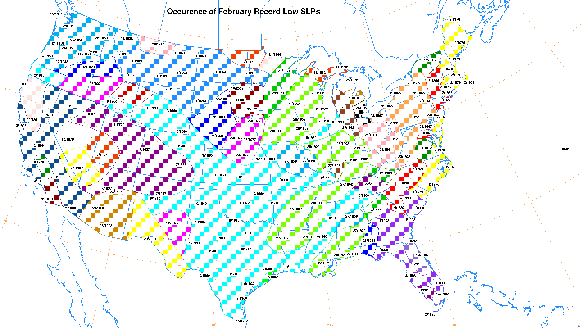
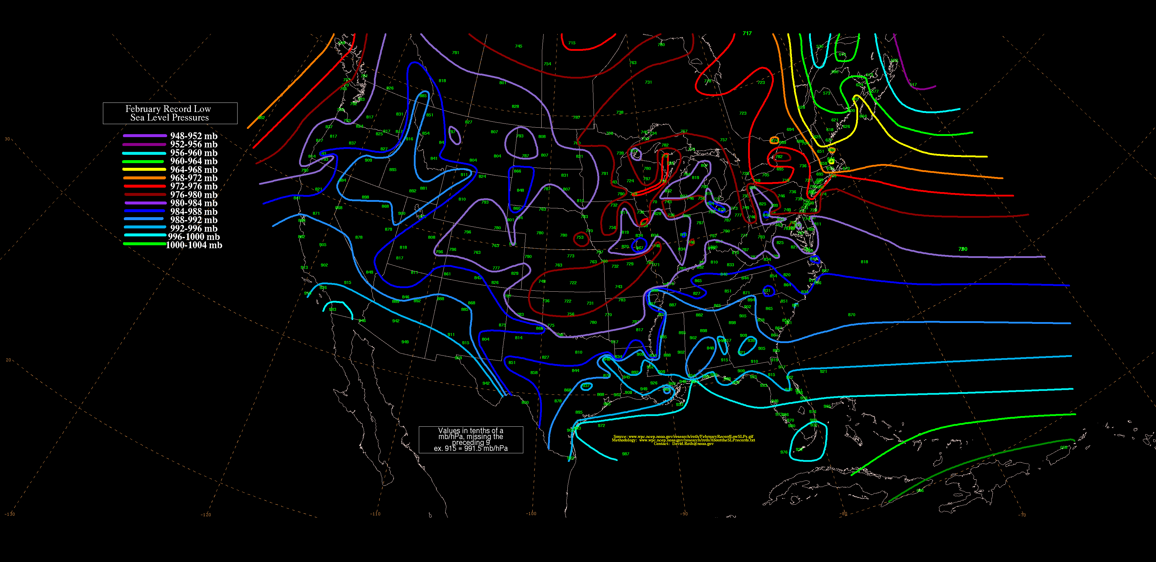
Caribou,Maine,recorded one of its lowest pressures on record,with much of New England recording its lowest values for the month of February, [4] with a reading of 957.3 hectopascals (28.27 inHg). [5] Winds gusted to 60 knots (69 mph) in Rockland and 100 knots (115 mph) at Southwest Harbor. Blizzard conditions were experienced for a few hours as the cyclone moved up into Canada. The storm caused extensive damage in many areas. Although many trees were blown down by the storm,many more were killed after large amounts of seawater were blown inland. Coastal flooding was seen from Brunswick to Eastport. A tidal surge went up the Penobscot River,flooding Bangor,Maine,for three hours around midday. [6] At 11:15 am,waters began rising on the river and within 15 minutes had risen a total of 3.7 metres (12 ft) flooding downtown. About 200 cars were submerged and office workers were stranded until waters receded. There were no reported deaths during this unusual flash flood. [7]
Massachusetts
Boston,Massachusetts,set their lowest February pressure on record,with a reading of 28.48 inches of mercury (964 hPa). [8]
Vermont
Burlington set a daily snow record on February 2 when 6.5 inches fell. [10]
This page is based on this
Wikipedia article Text is available under the
CC BY-SA 4.0 license; additional terms may apply.
Images, videos and audio are available under their respective licenses.
