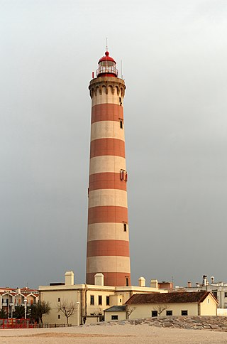
A lighthouse is a tower, building, or other type of physical structure designed to emit light from a system of lamps and lenses and to serve as a beacon for navigational aid, for maritime pilots at sea or on inland waterways.

Kasaragod is a municipal town and administrative headquarters of Kasaragod district in the state of Kerala, India. Established in 1966, Kasaragod was the first municipal town in the district. It is the northernmost district of Kerala and is also known as Sapta Bhasha Sangama Bhumi.
Kannur is one of the 14 districts along the west coast in the state of Kerala, India. The city of Kannur is the district headquarters and gives the district its name. The old name, Cannanore, is the anglicized form of the Malayalam name "Kannur". Kannur district is bounded by Kasaragod District to the north, Kozhikode district to the south, Mahé district to the southwest and Wayanad District to the southeast. To the east, the district is bounded by the Western Ghats, which forms the border with the state of Karnataka. The Arabian Sea lies to the west. Paithalmala is the highest point in Kannur District (1,372m). Enclosed within the southern part of the district is the Mahé district of the Union Territory of Puducherry. The district was established in 1957.
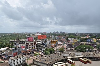
Kannur, formerly known in English as Cannanore, is a city and a municipal corporation in the state of Kerala, India. It is the administrative headquarters of the Kannur district and situated 274 kilometres (170 mi) north of the major port city and commercial hub Kochi and 137 kilometres (85 mi) south of the major port city and a commercial hub, Mangalore. During the period of British colonial rule in India, when Kannur was a part of the Malabar District, the city was known as Cannanore. Kannur is the sixth largest urban agglomeration in Kerala. As of 2011 census, Kannur Municipal Corporation, the local body which administers mainland area of city, had a population of 232,486.

St. Angelo Fort is a fort facing the Arabian Sea, situated 3 km from Canannore (Kannur), a city in Kerala state, south India.
Kannur Cantonment, situated in Burnassery or Burnshire(the anglicized name), is a cantonment town in Kannur district in the Indian state of Kerala, between Kannur town and Kannur City. The cantonment was a military camp for Portuguese, Dutch and British rulers, and is now the headquarters of Defence Security Corps.

Kasaragod is one of the 14 districts in the southern Indian state of Kerala. Its northern border Thalappady is located just 9 km south to Ullal, which is the southernmost portion of the major port city Mangalore, on the southwestern Malabar coast of India.

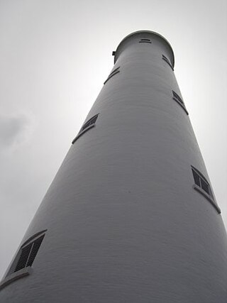
There have been at least four lighthouses named Chennai Lighthouse or Madras Lighthouse, which face the Bay of Bengal on the east coast of the Indian Subcontinent in Chennai, India.

Lowestoft Lighthouse is a lighthouse operated by Trinity House located to the north of the centre of Lowestoft in the English county of Suffolk. It stands on the North Sea coast close to Ness Point, the most easterly point in the United Kingdom. It acts as a warning light for shipping passing along the east coast and is the most easterly lighthouse in the UK.
The Vypin Lighthouse or Cochin Lighthouse is situated at Puthuvype in Kochi, Kerala. India. It started as an oil-fuelled lamp at Fort Kochi in 1839, and was updated over the years. It was replaced by a structure in Puthuvype in 1979. It is the tallest lighthouse in Kerala.

Kozhikkode Lighthouse is a defunct light in the Kozhikkode District of Kerala. It was constructed in 1907. The first lighthouse was constructed in 1847 at a height of 33 meters (108 ft). The current tower is 15 meters (49 ft) and is painted white. Kozhikode or Calicut lighthouse is automated, and an LED flasher apparatus is in use.

Manakkodam Lighthouse is situated next to the Andhakaranazhy beach in the Alappuzha district of Kerala near Cherthala. The tower is a 33.8 metres (110.9 ft) high concrete structure with square cross section. It was inaugurated on 1 August 1979. There were no lights in this area before 1979. The light source was changed from incandescent lamp to metal halide on 21 September 1998.

Vizhinjam Lighthouse or Trivandrum Lighthouse is situated near Kovalam beach in Kerala. It started functioning on 30 June 1972. Vizhinjam was a busy seaport in the eighteenth and nineteenth centuries. Before the current light was installed, there were no lighthouses at this location. A day mark beacon must have been there in 18th century. After 19th century, this port was in a neglected state. A lighted beacon was constructed in 1925 at nearby Kolachal. Subsequently, a day mark beacon was provided at Vizhinjam during 1960.

Tangasseri Lighthouse or Thangassery Lighthouse is situated at Tangasseri in Kollam city of the Indian state of Kerala. It is one of the two lighthouses in the Kollam Metropolitan Area and is maintained by the Cochin Directorate General of Lighthouses and Lightships. In operation since 1902, the cylindrical lighthouse tower painted with white and red oblique bands has a height of 41 metres (135 ft), making it the second tallest lighthouse in Kerala coast. Tangasseri Lighthouse is one of the most visited lighthouses in Kerala.

Ponnani Lighthouse is situated in Ponnani, Malappuram district, Kerala on the south bank of the Bharathappuzha river. It was commissioned on 17 April 1983. The tower has a circular cross-section and a height of 30 meters. The light source is a metal halide lamp. The lighthouse has direct drive facility. The Ponnani port is located on the estuary of River Bharathappuzha and Tirur River.
The Minicoy Island Lighthouse, which was established on 2 February 1885 at the southern end of the Minicoy Island in the Indian state of Lakshadweep during the British regime, is 49.5 metres (162 ft) in height and has now a range of 40 nautical miles (74 km) it is built in brick masonry and has a lantern and gallery.

Kannur, formerly known in English as Cannanore, Arabic as Kannanur, and Portuguese as Cananor, is a city and a Municipal Corporation in North Malabar region, state of Kerala, India. It is the largest city in North Malabar, which is the northernmost region of Kerala. It is sometimes identified Kolathunadu, which was ruled by the Kolathiris. In the 12th and 13th centuries there was trade with Persia and Arabia.
Kannur, India has a number of tourist attractions including beaches, hills, temples and other monuments.

The Kannur Corporation, also known as Corporation of Cannanore, is the municipal corporation that administers the city of Kannur (Cannanore), Kerala. Established in 2015, the Corporation's first mayor was E. P. Latha. Kannur Corporation has two assembly constituencies – Kannur and Azhikode – both of which are part of the Kannur parliamentary constituency. The Corporation is headed by a Mayor and council, and manages 78.35 km2 of Kannur city, with a population of about 232,486 within that area. Kannur Municipal Corporation has been formed with functions to improve the infrastructure of town.


