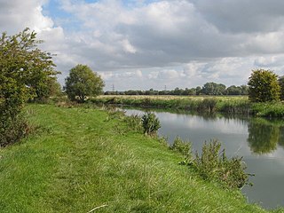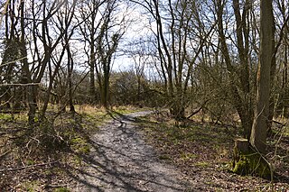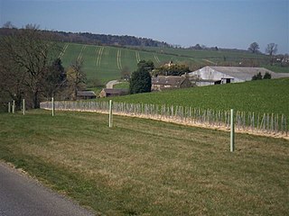
Kintbury is a village and civil parish in the West Berkshire district, Berkshire, England, between the towns of Newbury and Hungerford. The village has a convenient railway to Paddington and Reading, proximity to other transport and local cultural destinations, including Roman and Norman sites, and forms part of a very large Area of Outstanding Natural Beauty, the North Wessex Downs which extends from the River Thames at Streatley to West Wiltshire. The parish includes the hamlets of Clapton, Elcot and Winding Wood.

The North Wessex Downs are an area of chalk downland landscapes located in the English counties of Berkshire, Hampshire, Oxfordshire and Wiltshire. The North Wessex Downs has been designated as a National Landscape since 1972.

The Berkshire, Buckinghamshire and Oxfordshire Wildlife Trust (BBOWT), is a Wildlife Trust covering the counties of Berkshire, Buckinghamshire and Oxfordshire in England.

Chimney Meadows is a 49.6-hectare (123-acre) biological Site of Special Scientific Interest between Abingdon-on-Thames and Faringdon in Oxfordshire. It is also a national nature reserve, and part of the 308-hectare (760-acre) Chimney Meadows nature reserve, which is managed by the Berkshire, Buckinghamshire and Oxfordshire Wildlife Trust.

Glyme Valley is a 28.9-hectare (71-acre) biological Site of Special Scientific Interest east of Chipping Norton in Oxfordshire. An area of 3 hectares is a nature reserve managed by the Berkshire, Buckinghamshire and Oxfordshire Wildlife Trust

Bacombe and Coombe Hills is a 76.4-hectare (189-acre) biological Site of Special Scientific Interest in Upper Bacombe in Buckinghamshire. Bacombe Hill was formerly owned by Buckinghamshire County Council, which transferred it to Berkshire, Buckinghamshire and Oxfordshire Wildlife Trust in 2014. Coombe Hill is owned by the National Trust.

College Lake is a 65 hectare nature reserve in a former chalk quarry in Pitstone in the Aylesbury Vale district of Buckinghamshire. It is one of the flagship reserves of the Berkshire, Buckinghamshire and Oxfordshire Wildlife Trust, and it has an information centre, education facilities, a café, toilets and a shop. It is in the Chilterns Area of Outstanding Natural Beauty. The area east of the lake is a geological Site of Special Scientific Interest called Pitstone Quarry.

Rushbeds Wood is a 56-hectare (140-acre) nature reserve near Wotton Underwood in Buckinghamshire, managed by the Berkshire, Buckinghamshire and Oxfordshire Wildlife Trust (BBOWT). It is a surviving fragment of the ancient Bernwood Forest. The reserve is part of Rushbeds Wood and Railway Cutting, an 80.2-hectare (198-acre) biological Site of Special Scientific Interest. This includes a section of the Chiltern Main Line railway cutting, which runs along the north-east side of the BBOWT reserve.

Frilford Heath, Ponds and Fens is a 108.8-hectare (269-acre) biological Site of Special Scientific Interest in Frilford, west of Abingdon in Oxfordshire. An area of 3 hectares, separate from the main site is Hitchcopse Pit, a nature reserve managed by the Berkshire, Buckinghamshire and Oxfordshire Wildlife Trust.

Hosehill Lake is a 23.6-hectare (58-acre) Local Nature Reserve west of Reading in Berkshire. It is owned by West Berkshire Council and managed by the Berkshire, Buckinghamshire and Oxfordshire Wildlife Trust.

Padworth Common Local Nature Reserve is a 28-hectare (69-acre) Local Nature Reserve on the edge of the hamlet of Padworth Common, between Reading and Newbury in Berkshire. It is owned by West Berkshire Council and managed by Berkshire, Buckinghamshire and Oxfordshire Wildlife Trust.

Haymill Valley is a 7.8-hectare (19-acre) Local Nature Reserve in Slough in Berkshire. It is owned by Slough Borough Council and managed by the Berkshire, Buckinghamshire and Oxfordshire Wildlife Trust. The site is known locally as The Millie.

Watts Bank is a 1.9-hectare (4.7-acre) nature reserve south of Lambourn in Berkshire. It is managed by the Berkshire, Buckinghamshire and Oxfordshire Wildlife Trust. It is designated a biological Site of Special Scientific Interest as White Shute.

Bough Beech Reservoir is a 42-hectare (100-acre) nature reserve in Bough Beech, south-west of Sevenoaks in Kent. It was managed by the Kent Wildlife Trust until July 2020. It is in the Kent Downs Area of Outstanding Natural Beauty.

Ardley Cutting and Quarry is a 40.1-hectare (99-acre) biological and geological Site of Special Scientific Interest north-west of Bicester in Oxfordshire. It is a Geological Conservation Review site and an area of 11 hectares is managed by the Berkshire, Buckinghamshire and Oxfordshire Wildlife Trust as Ardley Wood Quarry. The site contains a Scheduled Monument, Ardley Wood moated ringwork, a Norman defended enclosure.

Blenheim Farm is a 1-hectare (2.5-acre) nature reserve near Charlbury in Oxfordshire. It is owned and managed by the Berkshire, Buckinghamshire and Oxfordshire Wildlife Trust.

Hitchcopse Pit is a 3-hectare (7.4-acre) nature reserve north-west of Abingdon-on-Thames in Oxfordshire. It is managed by the Berkshire, Buckinghamshire and Oxfordshire Wildlife Trust. It is part of Frilford Heath, Ponds and Fens, which is a Site of Special Scientific Interest.

Bould Wood is a 58.2-hectare (144-acre) biological Site of Special Scientific Interest north of Shipton-under-Wychwood in Oxfordshire. An area of 23 hectares is Foxholes nature reserve, which is managed by the Berkshire, Buckinghamshire and Oxfordshire Wildlife Trust.

Lashford Lane Fen is a 7-hectare (17-acre) nature reserve north of Dry Sandford in Oxfordshire. It is managed by the Berkshire, Buckinghamshire and Oxfordshire Wildlife Trust. It is part of Cothill Fen, which is a Site of Special Scientific Interest and Special Area of Conservation.


