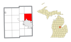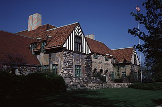
Midland County is a county located in the U.S. state of Michigan. As of the 2020 census, the population was 83,494. The county seat is Midland. The county's name is due to its closeness to the geographical Lower Peninsula's geographical center. It was founded in 1831. However, it was not until 1855 that the county was effectively organized.

Hampton Charter Township is a charter township of Bay County in the U.S. state of Michigan. The township's population was 9,652 as of the 2010 Census and is included in the Bay City Metropolitan Statistical Area.

Portsmouth Charter Township is a charter township located in Bay County in the U.S. state of Michigan. The township's population was 3,306 as of the 2010 census and is included in the Bay City Metropolitan Statistical Area.
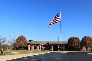
Genoa Charter Township is a charter township of Livingston County in the U.S. state of Michigan. As of the 2020 census, the township population was 20,692.

Greendale Township is a civil township of Midland County in the U.S. state of Michigan. As of the 2020 census, the township population was 1,731.

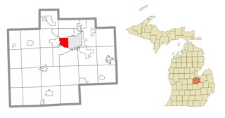
Midland Charter Township is a charter township of Midland County in the U.S. state of Michigan. The population was 2,223 at the 2020 census. The township consists of three non-contiguous segments adjacent to the city of Midland, and the township and city are administered autonomously.
Shelby is a civil township of Oceana County in the U.S. state of Michigan. The population was 3,951 at the 2000 census. The village of Shelby is located within the township.
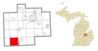
Brady Township is a civil township of Saginaw County in the U.S. state of Michigan. As of the 2010 Census, the township population was 2,218.

Bridgeport is an unincorporated community in Bridgeport Charter Township, Saginaw County in the U.S. state of Michigan. It is also a census-designated place (CDP) for statistical purposes. The population was 6,571 at the 2020 census. Bridgeport is also the name of a post office with ZIP code 48722. The area served by the ZIP code includes the southeast portion of the CDP and includes southeastern portions of Bridgeport Charter Township outside of the CDP as well as portions of southwest Frankenmuth Township and a small area of northeastern Birch Run Township. The remainder of the CDP area is served by the Saginaw ZIP code 48601.
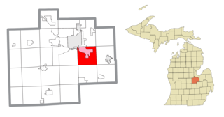
Bridgeport Charter Township is a charter township of Saginaw County in the U.S. state of Michigan. The 2020 Census placed the population at 10,104.
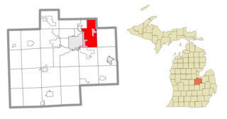
Buena Vista Charter Township is a charter township of Saginaw County in the U.S. state of Michigan. Per the 2020 census, the population was 7,664.

Carrollton Township is a civil township of Saginaw County in the U.S. state of Michigan. The population was 6,103 at the 2010 census. Established in 1866, Carrollton contains a full-time police department, fire department, parks and recreation services, as well as its own public school system, Carrollton Public Schools. Along with being located on the Saginaw River, Carrollton offers close access to shopping malls, medical facilities, Saginaw Valley State University, and I-75.

Freeland is a census-designated place in Tittabawassee Township, Saginaw County in the U.S. state of Michigan. It is part of the Saginaw-Midland-Bay Metropolitan Area. As of the 2000 census, the CDP population was 5,147. The CDP covers an area in the central portion of Tittabawassee Township. The Freeland post office, ZIP code 48623, serves nearly the entire township, as well as portions of Midland and Williams townships to the north, Frankenlust and Kochville townships to the east, Thomas and Richland townships to the south, and Ingersoll Township to the west.

Hemlock is an unincorporated community in Richland Township, Saginaw County in the U.S. state of Michigan. It is also a census-designated place (CDP) for statistical purposes, but without any legal status as an incorporated municipality. The population of the CDP was 1,585 at the 2000 census. The area included in the CDP is in the south central portion of Richland Township. The Hemlock post office, with ZIP code 48626, serves nearly all of Richland Township, as well as portions of Fremont Township to the south, small areas of Thomas and Swan Creek townships to the southeast, and part of Ingersoll Township to the north in Midland County.
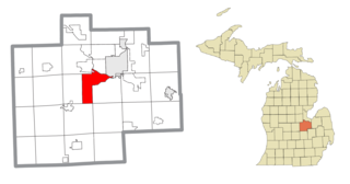
James Township is a civil township of Saginaw County in the U.S. state of Michigan. The population was 2,023 at the 2010 Census.

Saginaw Charter Township is a charter township of Saginaw County in the U.S. state of Michigan. The population was 41,679 at the 2020 census. The city of Saginaw is adjacent to the township to the southeast, but is administratively autonomous.
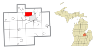
Saginaw Township North is a former census-designated place (CDP) in Saginaw County in the U.S. state of Michigan. The CDP was defined for statistical purposes and had no legal status as an incorporated municipality. The population was 24,994 at the 2000 census. The community is located within Saginaw Charter Township and consists of most of the township north of State St., while Saginaw Township South is the area south of State St. This division was purely for statistical purposes and does not reflect any present or historical self-identification of the residents in these areas.
Saginaw Township South was a census-designated place (CDP) in Saginaw County in the U.S. state of Michigan. The CDP was defined for statistical purposes and had no legal status as an incorporated municipality. The population was 13,801 at the 2000 census. The community is located within Saginaw Charter Township and consists of the township south of State St., while Saginaw Township North is most of the area north of State St. This division is purely for statistical purposes and does not reflect any present or historical self-identification of the residents in these areas.

Watertown Charter Township is a charter township of Clinton County in the U.S. state of Michigan. The population was 4,836 in the 2010 census, which was an increase from 4,162 at the 2000 census.

Geneva Township is a civil township of Midland County in the U.S. state of Michigan. The population was 1,065 at the 2020 census.
